755 Carter Rd Reynolds Station, KY 42368
Estimated Value: $175,000 - $201,033
--
Bed
--
Bath
--
Sq Ft
1.02
Acres
About This Home
This home is located at 755 Carter Rd, Reynolds Station, KY 42368 and is currently estimated at $189,011. 755 Carter Rd is a home located in Ohio County with nearby schools including Ohio County Middle School, Ohio County High School, and Sugar Grove Christian Academy.
Ownership History
Date
Name
Owned For
Owner Type
Purchase Details
Closed on
Nov 16, 2020
Sold by
Rearden Kenneth A and Rearden Tracy A
Bought by
11 Pines Llc
Current Estimated Value
Purchase Details
Closed on
Jun 19, 2020
Sold by
Rearden Kenneth A and Rearden Tracy A
Bought by
Kerr Christopher S
Home Financials for this Owner
Home Financials are based on the most recent Mortgage that was taken out on this home.
Original Mortgage
$83,600
Interest Rate
3.2%
Mortgage Type
Construction
Create a Home Valuation Report for This Property
The Home Valuation Report is an in-depth analysis detailing your home's value as well as a comparison with similar homes in the area
Home Values in the Area
Average Home Value in this Area
Purchase History
| Date | Buyer | Sale Price | Title Company |
|---|---|---|---|
| 11 Pines Llc | -- | Attorney Only | |
| Kerr Christopher S | $104,500 | Attorney Only | |
| Rearden Kenneth | -- | -- |
Source: Public Records
Mortgage History
| Date | Status | Borrower | Loan Amount |
|---|---|---|---|
| Previous Owner | Kerr Christopher S | $83,600 |
Source: Public Records
Tax History Compared to Growth
Tax History
| Year | Tax Paid | Tax Assessment Tax Assessment Total Assessment is a certain percentage of the fair market value that is determined by local assessors to be the total taxable value of land and additions on the property. | Land | Improvement |
|---|---|---|---|---|
| 2024 | $1,007 | $104,500 | $0 | $0 |
| 2023 | $1,004 | $104,500 | $0 | $0 |
| 2022 | $995 | $104,500 | $0 | $0 |
| 2021 | $984 | $104,500 | $0 | $0 |
| 2020 | $851 | $90,700 | $0 | $0 |
| 2019 | $835 | $90,700 | $0 | $0 |
| 2018 | $802 | $90,700 | $0 | $0 |
| 2017 | $792 | $90,700 | $0 | $0 |
| 2016 | $763 | $90,700 | $0 | $0 |
| 2015 | $720 | $90,700 | $0 | $0 |
| 2014 | $709 | $90,700 | $0 | $0 |
| 2010 | -- | $90,700 | $10,000 | $80,700 |
Source: Public Records
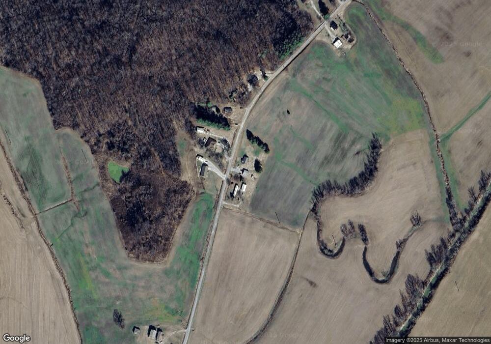
Map
Nearby Homes
- 1187 Sugar Grove Rd
- 11172 Old Leitchfield Rd
- 000 Aetnaville Rd Unit LotWP001
- 4799 Kentucky 764
- 591 Denton Slack Rd
- 11315 Kentucky 764
- 8990 State Route 1700
- 6215 Hwy 54 E
- 176 Mulberry St
- 43 Ridge Rd
- 0 Highway 629 Unit HK25002313
- 0 State Route 629 Unit 1689003
- 63 Barretts Rd
- 9287 Kentucky 54
- 39 Newton Ln
- 9967 Mccamish Rd
- 850 Smith Bridge Rd
- 1127 Boswell Rd
- 11875 Hwy 144
- 11961 Hwy 144
- 520 Carter Rd
- 544 Carter Rd
- 686 Carter Rd
- 636 Carter Rd
- 547 Carter Rd
- 750 Carter Rd
- 496 Carter Rd
- 496 Carter Rd
- 963 Carter Rd
- 300 Carter Rd
- 996 Carter Rd
- 13702 State Route 1414
- 1150 Carter Rd
- 113 Carter Rd
- 1256 Carter Rd
- 5081 State Route 54 W
- 4954 Kentucky 54
- 4939 State Route 54 W
- 5088 Kentucky 54
- 5010 State Route 54 W