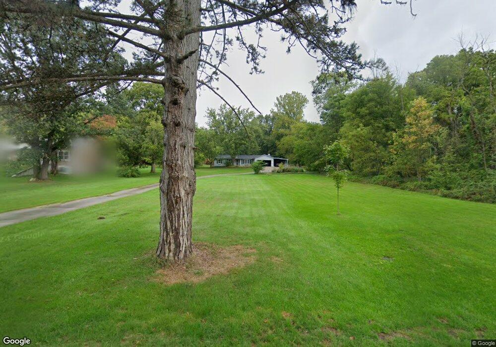
755 Grindle Dr Lowell, MI 49331
Estimated Value: $178,000 - $465,416
3
Beds
3
Baths
3,000
Sq Ft
$122/Sq Ft
Est. Value
About This Home
This home is located at 755 Grindle Dr, Lowell, MI 49331 and is currently estimated at $364,854, approximately $121 per square foot. 755 Grindle Dr is a home located in Kent County with nearby schools including Bushnell Elementary School, Cherry Creek Elementary School, and Lowell Middle School.
Ownership History
Date
Name
Owned For
Owner Type
Purchase Details
Closed on
Mar 24, 2003
Sold by
Johnson Phillip David
Bought by
Schrauben Andrew and Schrauben Amanda B
Current Estimated Value
Home Financials for this Owner
Home Financials are based on the most recent Mortgage that was taken out on this home.
Original Mortgage
$125,440
Outstanding Balance
$54,163
Interest Rate
5.94%
Mortgage Type
Purchase Money Mortgage
Estimated Equity
$310,691
Purchase Details
Closed on
Jan 1, 1975
Bought by
Johnson P and Schrauben Andrew
Create a Home Valuation Report for This Property
The Home Valuation Report is an in-depth analysis detailing your home's value as well as a comparison with similar homes in the area
Home Values in the Area
Average Home Value in this Area
Purchase History
| Date | Buyer | Sale Price | Title Company |
|---|---|---|---|
| Schrauben Andrew | $156,800 | Fatic | |
| Johnson P | $43,000 | -- |
Source: Public Records
Mortgage History
| Date | Status | Borrower | Loan Amount |
|---|---|---|---|
| Open | Schrauben Andrew | $125,440 | |
| Closed | Schrauben Andrew | $31,360 |
Source: Public Records
Tax History
| Year | Tax Paid | Tax Assessment Tax Assessment Total Assessment is a certain percentage of the fair market value that is determined by local assessors to be the total taxable value of land and additions on the property. | Land | Improvement |
|---|---|---|---|---|
| 2025 | $3,834 | $236,000 | $0 | $0 |
| 2024 | $38 | $200,200 | $0 | $0 |
| 2023 | $4,334 | $184,600 | $0 | $0 |
| 2022 | $4,158 | $165,900 | $0 | $0 |
| 2021 | $4,041 | $147,700 | $0 | $0 |
| 2020 | $3,350 | $118,600 | $0 | $0 |
| 2019 | $3,933 | $116,300 | $0 | $0 |
| 2018 | $3,849 | $108,300 | $0 | $0 |
| 2017 | $3,753 | $100,800 | $0 | $0 |
| 2016 | $3,649 | $96,500 | $0 | $0 |
| 2015 | -- | $96,500 | $0 | $0 |
| 2013 | -- | $80,300 | $0 | $0 |
Source: Public Records
Map
Nearby Homes
- 125 S Grove St
- 913 N Monroe St
- 1080 N Washington St SE
- 220 King St Unit 10
- 222 S Division St
- 1040 N Washington St
- 1040 N Washington Rd
- 418 Elm St SE
- 118 N Hudson St SE
- 517 Elm St SE
- 13940 Rolling Creek Dr
- 13875 Rolling Creek Dr
- 521 Spring St
- 780 Bowes Rd
- 913 Clark St Unit 7
- 4343 S Montcalm Ave
- 1800 Sibley St
- 1800 W Main St Unit 105
- 1800 W Main St Unit 50
- 4356 Amazon Dr
- 725 Grindle Dr
- 705 Grindle Dr
- 705 Grindle Dr
- 714 Hillside Ct
- 724 Hillside Ct SE
- 724 Hillside Ct
- 835 Hillside Ct
- 704 Grindle Dr
- 765 Shepard Blvd SE
- 765 Shepard Dr
- 720 Hillside Ct
- 801 Shepard Dr
- 750 Grindle Dr
- 803 Shepard Dr
- 725 Shepard Dr
- 760 Grindle Dr
- 867 Hillside Ct
- 429 N Division St
- 701 Grindle Dr SE
- 701 Grindle Dr
Your Personal Tour Guide
Ask me questions while you tour the home.