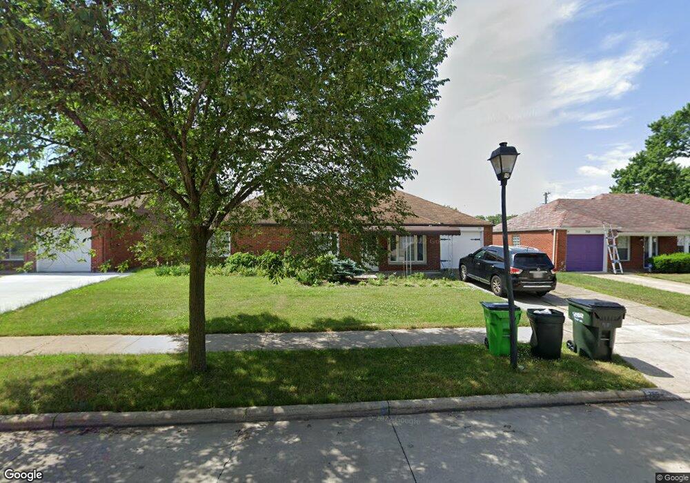
755 Hemlock Dr Euclid, OH 44132
Estimated Value: $145,000 - $177,000
3
Beds
2
Baths
1,401
Sq Ft
$115/Sq Ft
Est. Value
About This Home
This home is located at 755 Hemlock Dr, Euclid, OH 44132 and is currently estimated at $160,926, approximately $114 per square foot. 755 Hemlock Dr is a home located in Cuyahoga County with nearby schools including Shoreview Elementary School, Euclid High School, and Mater Dei Academy.
Ownership History
Date
Name
Owned For
Owner Type
Purchase Details
Closed on
Jan 3, 2022
Sold by
Sheriff County
Bought by
Abma Properties Llc
Current Estimated Value
Purchase Details
Closed on
Jun 17, 2021
Sold by
Sheriff County
Bought by
Abma Properties Llc
Purchase Details
Closed on
Jul 29, 2014
Sold by
Carter Dushen
Bought by
C&C Rehab Llc
Purchase Details
Closed on
Feb 7, 2013
Sold by
Ctc Rehal Llc
Bought by
Carter Dushen
Purchase Details
Closed on
Jun 19, 2012
Sold by
Demas Jennifer A and Meyer Margaret J
Bought by
C&C Rehab Llc
Purchase Details
Closed on
May 14, 1979
Sold by
Dann Alex R and Dann Louise M
Bought by
Meyer Robert C and Meyer Margaret J
Purchase Details
Closed on
Jan 1, 1975
Bought by
Dann Alex R and Dann Louise M
Create a Home Valuation Report for This Property
The Home Valuation Report is an in-depth analysis detailing your home's value as well as a comparison with similar homes in the area
Home Values in the Area
Average Home Value in this Area
Purchase History
| Date | Buyer | Sale Price | Title Company |
|---|---|---|---|
| Abma Properties Llc | $91,200 | None Listed On Document | |
| Abma Properties Llc | $91,200 | None Listed On Document | |
| C&C Rehab Llc | -- | None Available | |
| Carter Dushen | -- | None Available | |
| C&C Rehab Llc | $26,667 | Attorney | |
| Meyer Robert C | $53,500 | -- | |
| Dann Alex R | -- | -- |
Source: Public Records
Tax History
| Year | Tax Paid | Tax Assessment Tax Assessment Total Assessment is a certain percentage of the fair market value that is determined by local assessors to be the total taxable value of land and additions on the property. | Land | Improvement |
|---|---|---|---|---|
| 2024 | $3,945 | $54,460 | $9,660 | $44,800 |
| 2023 | $3,474 | $39,730 | $8,540 | $31,190 |
| 2022 | $5,836 | $39,725 | $8,540 | $31,185 |
| 2021 | $4,087 | $39,730 | $8,540 | $31,190 |
| 2020 | $3,176 | $30,100 | $6,480 | $23,630 |
| 2019 | $2,862 | $86,000 | $18,500 | $67,500 |
| 2018 | $2,649 | $30,100 | $6,480 | $23,630 |
| 2017 | $2,612 | $22,580 | $5,180 | $17,400 |
| 2016 | $2,618 | $22,580 | $5,180 | $17,400 |
| 2015 | $9,591 | $22,580 | $5,180 | $17,400 |
| 2014 | $9,591 | $22,580 | $5,180 | $17,400 |
Source: Public Records
Map
Nearby Homes
- 730 Hemlock Dr
- 670 Hemlock Dr
- 815 E 272nd St
- 27190 Zeman Ave
- 597 Hemlock Dr
- 591 Hemlock Dr
- 26931 Shoreview Ave
- 26430 Drakefield Ave
- 26831 Shoreview Ave
- 27125 Mallard Ave
- 610 E 266th St
- 26351 Farringdon Ave
- 643 E 261st St
- 579 E 260th St
- 571 E 260th St
- 440 E 271st St
- 27430 Forestview Ave
- 25751 Briardale Ave
- 25700 Briardale Ave
- 25671 Farringdon Ave
- 759 Hemlock Dr
- 753 Hemlock Dr
- 790 Walnut Dr
- 796 Walnut Dr
- 767 Hemlock Dr
- 747 Hemlock Dr
- 784 Walnut Dr
- 754 Hemlock Dr
- 754 Hemlock Dr Unit ID1061094P
- 800 Walnut Dr
- 760 Hemlock Dr
- 750 Hemlock Dr
- 780 Walnut Dr
- 745 Hemlock Dr
- 766 Hemlock Dr
- 746 Hemlock Dr
- 770 Walnut Dr
- 27190 Gary Ave
- 743 Hemlock Dr
- 715 Willow Dr
Your Personal Tour Guide
Ask me questions while you tour the home.