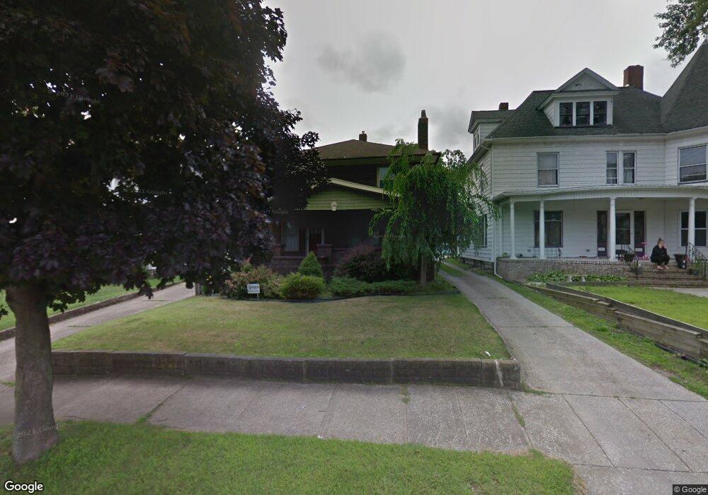
755 Main St Conneaut, OH 44030
Estimated Value: $137,000 - $171,000
4
Beds
2
Baths
2,168
Sq Ft
$70/Sq Ft
Est. Value
About This Home
This home is located at 755 Main St, Conneaut, OH 44030 and is currently estimated at $151,510, approximately $69 per square foot. 755 Main St is a home located in Ashtabula County with nearby schools including Lakeshore Primary Elementary School, Gateway Elementary School, and Conneaut Middle School.
Ownership History
Date
Name
Owned For
Owner Type
Purchase Details
Closed on
Feb 20, 2018
Sold by
Ocwen Loan Servicing Llc
Bought by
Simak Jeremy and Simak Christa
Current Estimated Value
Purchase Details
Closed on
Dec 11, 2017
Sold by
Secretary Of Veterans Affairs
Bought by
Ocwen Loan Servicing Llc
Purchase Details
Closed on
Oct 11, 2013
Sold by
Long Keith R and Long Antonia M
Bought by
Long Antonia M
Purchase Details
Closed on
May 24, 2002
Sold by
Giganti Frank C
Bought by
Long Keith R and Long Astonia
Home Financials for this Owner
Home Financials are based on the most recent Mortgage that was taken out on this home.
Original Mortgage
$99,667
Interest Rate
7.07%
Mortgage Type
VA
Create a Home Valuation Report for This Property
The Home Valuation Report is an in-depth analysis detailing your home's value as well as a comparison with similar homes in the area
Home Values in the Area
Average Home Value in this Area
Purchase History
| Date | Buyer | Sale Price | Title Company |
|---|---|---|---|
| Simak Jeremy | $50,000 | Urban Lending Solutions | |
| Ocwen Loan Servicing Llc | -- | None Available | |
| Long Antonia M | -- | None Available | |
| Long Keith R | $97,000 | -- |
Source: Public Records
Mortgage History
| Date | Status | Borrower | Loan Amount |
|---|---|---|---|
| Previous Owner | Long Keith R | $99,667 |
Source: Public Records
Tax History
| Year | Tax Paid | Tax Assessment Tax Assessment Total Assessment is a certain percentage of the fair market value that is determined by local assessors to be the total taxable value of land and additions on the property. | Land | Improvement |
|---|---|---|---|---|
| 2024 | $2,366 | $32,340 | $2,660 | $29,680 |
| 2023 | $1,504 | $32,340 | $2,660 | $29,680 |
| 2022 | $1,316 | $24,890 | $2,070 | $22,820 |
| 2021 | $1,339 | $24,890 | $2,070 | $22,820 |
| 2020 | $1,338 | $24,890 | $2,070 | $22,820 |
| 2019 | $1,021 | $18,620 | $1,400 | $17,220 |
| 2018 | $974 | $18,620 | $1,400 | $17,220 |
| 2017 | $1,139 | $18,590 | $1,370 | $17,220 |
| 2016 | $1,294 | $27,100 | $2,000 | $25,100 |
| 2015 | $2,552 | $27,100 | $2,000 | $25,100 |
| 2014 | $1,152 | $27,100 | $2,000 | $25,100 |
| 2013 | $1,270 | $30,770 | $2,210 | $28,560 |
Source: Public Records
Map
Nearby Homes
- 238 Whitney St
- 745 Maple Ave
- 247 Whitney St
- 855 Spring St Unit S9
- 536 Madison St
- 110 Edgewood Dr
- 475 State St
- 18 Hillcrest Ct
- 474 Sherman St
- 375 Bliss Ave
- 210 W Main Rd
- 555 Wrights Ave
- 536 Mill St
- 450 Buffalo St
- 202 W Main Rd Unit 132
- 202 W Main Rd Unit 115
- 289 Harbor St
- VL Center Rd
- 386 Washington St
- 166 Welton Rd
Your Personal Tour Guide
Ask me questions while you tour the home.