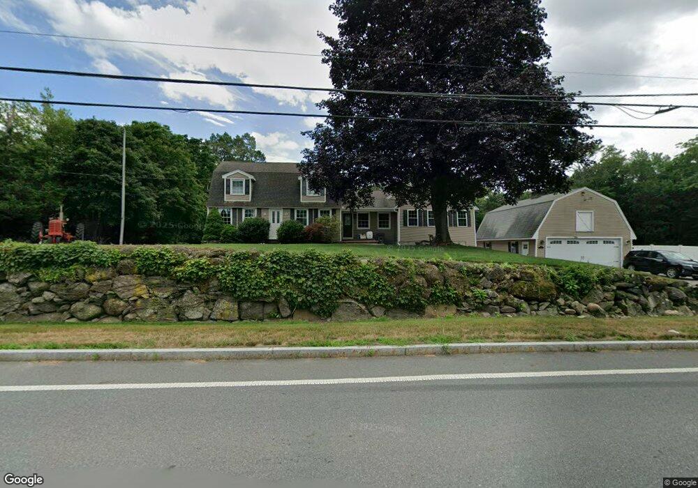
755 Methuen St Dracut, MA 01826
Estimated Value: $692,000 - $817,000
3
Beds
2
Baths
2,635
Sq Ft
$286/Sq Ft
Est. Value
About This Home
This home is located at 755 Methuen St, Dracut, MA 01826 and is currently estimated at $752,831, approximately $285 per square foot. 755 Methuen St is a home located in Middlesex County with nearby schools including Joseph A. Campbell Elementary School, Richardson Middle School, and Dracut Senior High School.
Ownership History
Date
Name
Owned For
Owner Type
Purchase Details
Closed on
Aug 27, 1999
Sold by
Mcmanmon James P and Mcmanmon Mary Gail
Bought by
Mcmanmon James P
Current Estimated Value
Home Financials for this Owner
Home Financials are based on the most recent Mortgage that was taken out on this home.
Original Mortgage
$114,400
Outstanding Balance
$33,161
Interest Rate
7.53%
Mortgage Type
Purchase Money Mortgage
Estimated Equity
$719,670
Purchase Details
Closed on
Jun 29, 1999
Sold by
Mcmanmon James P
Bought by
Portland Natural Gas
Home Financials for this Owner
Home Financials are based on the most recent Mortgage that was taken out on this home.
Original Mortgage
$114,400
Outstanding Balance
$33,161
Interest Rate
7.53%
Mortgage Type
Purchase Money Mortgage
Estimated Equity
$719,670
Create a Home Valuation Report for This Property
The Home Valuation Report is an in-depth analysis detailing your home's value as well as a comparison with similar homes in the area
Home Values in the Area
Average Home Value in this Area
Purchase History
| Date | Buyer | Sale Price | Title Company |
|---|---|---|---|
| Mcmanmon James P | $144,400 | -- | |
| Portland Natural Gas | $50,000 | -- |
Source: Public Records
Mortgage History
| Date | Status | Borrower | Loan Amount |
|---|---|---|---|
| Open | Portland Natural Gas | $20,000 | |
| Open | Portland Natural Gas | $114,400 | |
| Previous Owner | Portland Natural Gas | $46,000 |
Source: Public Records
Tax History Compared to Growth
Tax History
| Year | Tax Paid | Tax Assessment Tax Assessment Total Assessment is a certain percentage of the fair market value that is determined by local assessors to be the total taxable value of land and additions on the property. | Land | Improvement |
|---|---|---|---|---|
| 2025 | $6,842 | $676,100 | $235,800 | $440,300 |
| 2024 | $6,450 | $617,200 | $224,700 | $392,500 |
| 2023 | $6,286 | $542,800 | $195,500 | $347,300 |
| 2022 | $6,211 | $505,400 | $178,100 | $327,300 |
| 2021 | $8,615 | $477,900 | $162,000 | $315,900 |
| 2020 | $8,581 | $451,800 | $157,200 | $294,600 |
| 2019 | $5,759 | $418,800 | $149,800 | $269,000 |
| 2018 | $5,772 | $408,200 | $149,800 | $258,400 |
| 2017 | $10,512 | $408,200 | $149,800 | $258,400 |
| 2016 | $5,593 | $376,900 | $144,100 | $232,800 |
| 2015 | $5,405 | $362,000 | $144,100 | $217,900 |
| 2014 | $4,627 | $319,300 | $144,100 | $175,200 |
Source: Public Records
Map
Nearby Homes
- 820 Methuen St Unit 820
- 931 Methuen St Unit 6
- 173 Merrimack Meadows Ln Unit 162
- 173 Brook St
- 78 Merrimack Meadows Ln Unit 78
- 4 Hazelwood Ave Unit 12
- 16 Winding Ln
- 100 Merrimack Ave Unit 91
- 100 Merrimack Ave Unit 124
- 11 View St
- 7 Wildwood St Unit A24
- 15 Sharyn Cir
- 51 Bellevue Ave
- 14 Mount Pleasant Ave
- 11 Merrimack Meadows Ln Unit 17
- 650 Robbins Ave Unit 33
- 16 Wetherbee Ave
- 35 Thissell Ave
- 675 Robbins Ave Unit 1
- 31 Varnum Ave
- 767 Methuen St
- 750 Arlington St
- 705 Arlington St
- 776 Arlington St
- 786 Methuen St
- 796 Methuen St
- 400 Merrimack Ave
- 701 Methuen St
- 806 Methuen St
- 810 Methuen St
- 635 Arlington St
- 805 Methuen St
- 12 Brook St
- 740 Arlington St
- 816 Methuen St
- 623 Arlington St
- 685 Methuen St
- 831 Methuen St
- 720 Arlington St
- 822 Methuen St