755 N Coles Loop Post Falls, ID 83854
The Highlands NeighborhoodEstimated Value: $977,000 - $1,263,000
4
Beds
3
Baths
3,009
Sq Ft
$362/Sq Ft
Est. Value
About This Home
This home is located at 755 N Coles Loop, Post Falls, ID 83854 and is currently estimated at $1,090,486, approximately $362 per square foot. 755 N Coles Loop is a home located in Kootenai County with nearby schools including Ponderosa Elementary School, Post Falls Middle School, and Post Falls High School.
Ownership History
Date
Name
Owned For
Owner Type
Purchase Details
Closed on
May 21, 2018
Sold by
Stoap Cornelis J and Stoap Teresita M
Bought by
Charles Damon F and Levinson Andrew E
Current Estimated Value
Purchase Details
Closed on
May 15, 2018
Sold by
Equity Trust Co and Stoap Cornelis J
Bought by
Stoap Cornelis J and Stoap Teresita M
Purchase Details
Closed on
Feb 28, 2014
Sold by
Etc
Bought by
Stoap Cornelius J and Stoap Teresita M
Create a Home Valuation Report for This Property
The Home Valuation Report is an in-depth analysis detailing your home's value as well as a comparison with similar homes in the area
Home Values in the Area
Average Home Value in this Area
Purchase History
| Date | Buyer | Sale Price | Title Company |
|---|---|---|---|
| Charles Damon F | -- | Pioneer Title Co | |
| Stoap Cornelis J | -- | Pioneer Title Co | |
| Stoap Cornelius J | -- | None Available |
Source: Public Records
Tax History
| Year | Tax Paid | Tax Assessment Tax Assessment Total Assessment is a certain percentage of the fair market value that is determined by local assessors to be the total taxable value of land and additions on the property. | Land | Improvement |
|---|---|---|---|---|
| 2025 | $4,913 | $1,068,950 | $215,000 | $853,950 |
| 2024 | $4,810 | $1,015,070 | $170,000 | $845,070 |
| 2023 | $4,810 | $1,078,310 | $360,000 | $718,310 |
| 2022 | $6,109 | $1,136,366 | $342,000 | $794,366 |
| 2021 | $6,007 | $730,862 | $180,000 | $550,862 |
| 2020 | $5,355 | $577,550 | $100,000 | $477,550 |
| 2019 | $5,493 | $542,470 | $95,000 | $447,470 |
| 2018 | $4,879 | $456,440 | $90,000 | $366,440 |
| 2017 | $4,873 | $426,490 | $80,000 | $346,490 |
| 2016 | $4,665 | $390,630 | $75,000 | $315,630 |
| 2015 | $2,261 | $371,760 | $70,000 | $301,760 |
| 2013 | $3,194 | $371,680 | $60,000 | $311,680 |
Source: Public Records
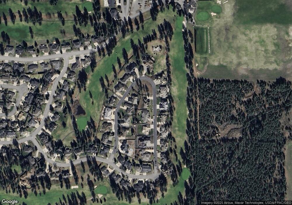
Map
Nearby Homes
- 5030 E Frazier Dr
- 706 N Dundee Dr
- 1490 N Glasgow Dr
- 5377 E Steamboat Bend
- 5079 E Portside Ct
- 5439 E Steamboat Bend
- 4570 E Savea Ln
- 4497 E Savea Ln
- 4577 E Davin Dr
- 4502 E Savea Ln
- 4519 E Savea Ln
- 4422 E Savea Ln
- 102 S Riverwood Ct
- 4451 E Davin Dr
- 4470 E 16th Ave Unit 29
- 4470 E 16th Ave Unit 20
- 768 N Neufeld Ln
- 398 N Seeley St
- 5177 E Shore Cove
- 4301 E Maplewood Ave Unit 30
- 835 N Coles Loop
- 745 N Coles Loop
- 845 N Coles Loop
- 765 Coles
- 750 Coles
- 750 N Coles Loop
- 760 N Coles Loop
- 740 N Coles Loop
- 855 N Coles Loop
- 735 N Coles Loop
- 780 N Coles Loop
- 820 N Coles Loop
- 830 N Coles Loop
- 840 N Coles Loop
- 825 N Coles Loop
- 765 N Coles Loop
- 730 N Coles Loop
- 865 N Coles Loop
- 810 N Coles Loop
- 725 N Coles Loop
Your Personal Tour Guide
Ask me questions while you tour the home.