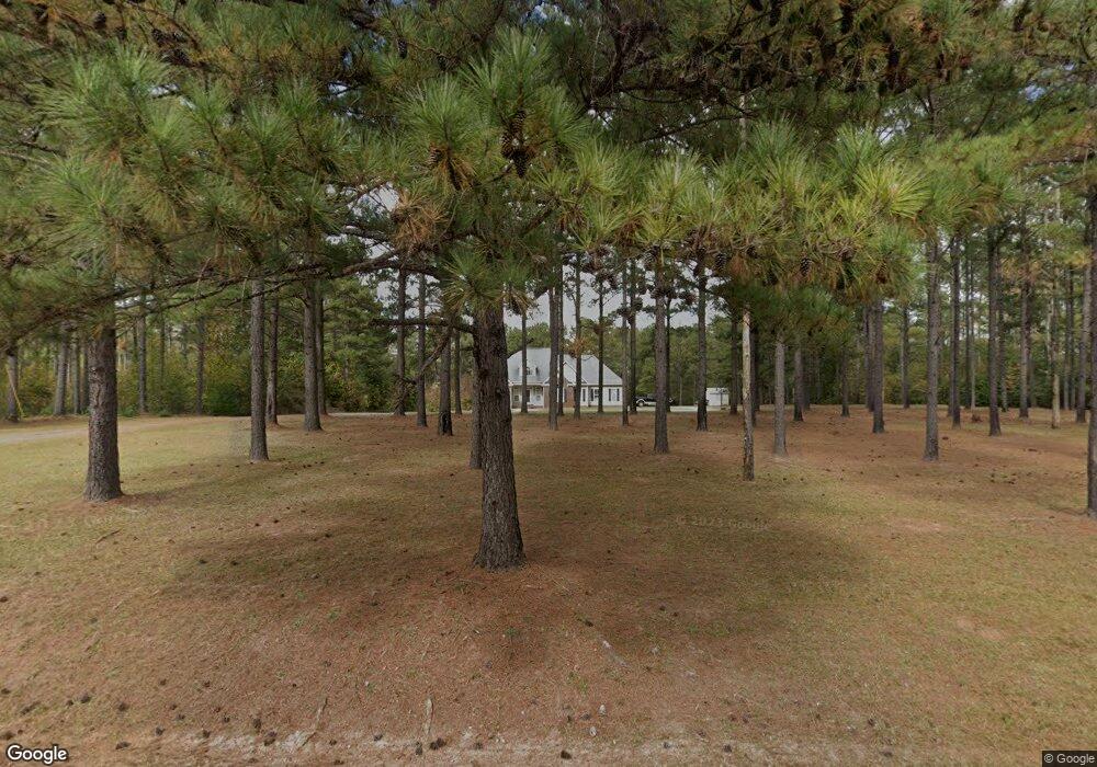
755 Phil Howe Rd Manchester, GA 31816
Estimated Value: $381,499 - $448,000
3
Beds
2
Baths
2,500
Sq Ft
$167/Sq Ft
Est. Value
About This Home
This home is located at 755 Phil Howe Rd, Manchester, GA 31816 and is currently estimated at $417,625, approximately $167 per square foot. 755 Phil Howe Rd is a home located in Meriwether County with nearby schools including Mountain View Elementary School, Manchester Middle School, and Manchester High School.
Ownership History
Date
Name
Owned For
Owner Type
Purchase Details
Closed on
Mar 16, 2018
Sold by
William Poindexter
Bought by
Sykes-Poindexte Jessica E
Current Estimated Value
Purchase Details
Closed on
Nov 17, 2016
Sold by
Mcinvale Shea T
Bought by
Poindexter William and Poindexter Jessica
Home Financials for this Owner
Home Financials are based on the most recent Mortgage that was taken out on this home.
Original Mortgage
$184,594
Interest Rate
3.25%
Mortgage Type
FHA
Purchase Details
Closed on
Feb 8, 2013
Sold by
Mcinvale Charity Fuller
Bought by
Mcinvale Shea Thomas
Purchase Details
Closed on
Nov 23, 2004
Sold by
Mcinvale Shea Thomas
Bought by
Mcinvale Shea Thomas and Mcinvale Charity F
Purchase Details
Closed on
Mar 19, 2004
Sold by
Mcinvale Chet T and Mcinvale Robin M
Bought by
Mcinvale Shea Thomas
Create a Home Valuation Report for This Property
The Home Valuation Report is an in-depth analysis detailing your home's value as well as a comparison with similar homes in the area
Home Values in the Area
Average Home Value in this Area
Purchase History
| Date | Buyer | Sale Price | Title Company |
|---|---|---|---|
| Sykes-Poindexte Jessica E | -- | -- | |
| Poindexter William | $188,000 | -- | |
| Mcinvale Shea Thomas | -- | -- | |
| Mcinvale Shea Thomas | -- | -- | |
| Mcinvale Shea Thomas | -- | -- |
Source: Public Records
Mortgage History
| Date | Status | Borrower | Loan Amount |
|---|---|---|---|
| Previous Owner | Poindexter William | $184,594 |
Source: Public Records
Tax History Compared to Growth
Tax History
| Year | Tax Paid | Tax Assessment Tax Assessment Total Assessment is a certain percentage of the fair market value that is determined by local assessors to be the total taxable value of land and additions on the property. | Land | Improvement |
|---|---|---|---|---|
| 2024 | $3,166 | $137,720 | $12,400 | $125,320 |
| 2023 | $3,010 | $89,000 | $12,400 | $76,600 |
| 2022 | $3,010 | $89,000 | $12,400 | $76,600 |
| 2021 | $3,058 | $89,000 | $12,400 | $76,600 |
| 2020 | $3,082 | $89,000 | $12,400 | $76,600 |
| 2019 | $3,091 | $89,000 | $12,400 | $76,600 |
| 2018 | $3,120 | $89,000 | $12,400 | $76,600 |
| 2017 | $2,656 | $89,000 | $12,400 | $76,600 |
| 2016 | $2,207 | $89,000 | $12,400 | $76,600 |
| 2015 | $2,211 | $89,000 | $12,400 | $76,600 |
| 2014 | $2,212 | $89,000 | $12,400 | $76,600 |
| 2013 | -- | $89,000 | $12,400 | $76,600 |
Source: Public Records
Map
Nearby Homes
- 434 Phil Howe Rd
- 77 Cordwood St
- 305 Holy Hill Place
- 200 Hunt Cir
- 802 Jd Parham Dr
- 701 Jd Parham Dr
- 13.27 ACRES Roosevelt Hwy
- 16 North St
- 12 Truitt St
- 522 4th St
- 312 2nd Ave
- 3494 Ga Highway 85 E
- 3494 Georgia 85
- 36 E 2nd St
- 403 W Broxton Ln
- 514 Farris Blvd
- 408 Broad St
- 5 Jay St
- 604 Farris Blvd
- 621 Mayes Way
- 844 Phil Howe Rd
- 61 Copeland Cir
- 81 Copeland Cir
- 587 Phil Howe Rd
- 650 Phil Howe Rd
- 690 Phil Howe Rd
- 577 Phil Howe Rd
- 171 Copeland Cir
- 130 Copeland Cir
- 600 Phil Howe Rd
- 881 Phil Howe Rd
- 932 Phil Howe Rd
- 545 Phil Howe Rd
- 506 Phil Howe Rd
- 961 Phil Howe Rd
- 1616 Prather Barnes Rd
- 52 King St
- 18 King St
- 1188 Phil Howe Rd
- 804 Martin Luther King jr Dr