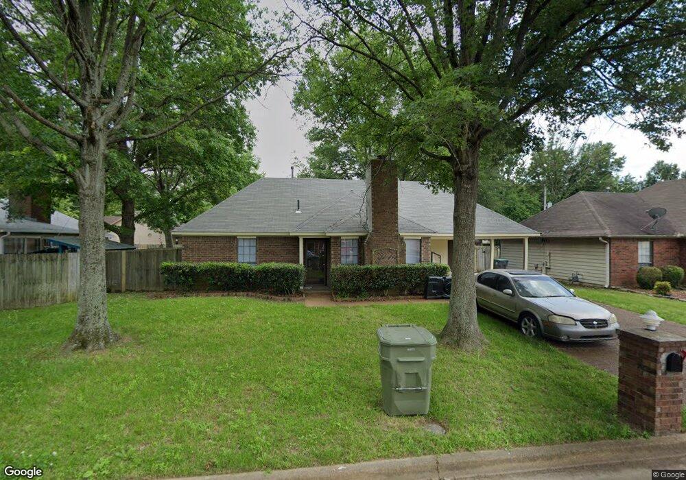
7555 Port Albert Ln Memphis, TN 38133
Estimated Value: $208,000 - $230,000
3
Beds
2
Baths
1,250
Sq Ft
$174/Sq Ft
Est. Value
About This Home
This home is located at 7555 Port Albert Ln, Memphis, TN 38133 and is currently estimated at $217,556, approximately $174 per square foot. 7555 Port Albert Ln is a home located in Shelby County with nearby schools including Kate Bond Elementary School, Kate Bond Middle School, and Cordova High School.
Ownership History
Date
Name
Owned For
Owner Type
Purchase Details
Closed on
May 17, 2016
Sold by
Mid South Homebuyers Inc
Bought by
Causin Edgar
Current Estimated Value
Home Financials for this Owner
Home Financials are based on the most recent Mortgage that was taken out on this home.
Original Mortgage
$79,723
Outstanding Balance
$63,320
Interest Rate
3.59%
Mortgage Type
New Conventional
Estimated Equity
$154,236
Purchase Details
Closed on
Mar 17, 2016
Sold by
Urban Jr George and Urban Stephanie D
Bought by
Mid South Homebuyers Inc
Create a Home Valuation Report for This Property
The Home Valuation Report is an in-depth analysis detailing your home's value as well as a comparison with similar homes in the area
Home Values in the Area
Average Home Value in this Area
Purchase History
| Date | Buyer | Sale Price | Title Company |
|---|---|---|---|
| Causin Edgar | $99,654 | Saddle Creek Title Llc | |
| Mid South Homebuyers Inc | $45,000 | Attorney |
Source: Public Records
Mortgage History
| Date | Status | Borrower | Loan Amount |
|---|---|---|---|
| Open | Causin Edgar | $79,723 |
Source: Public Records
Tax History Compared to Growth
Tax History
| Year | Tax Paid | Tax Assessment Tax Assessment Total Assessment is a certain percentage of the fair market value that is determined by local assessors to be the total taxable value of land and additions on the property. | Land | Improvement |
|---|---|---|---|---|
| 2025 | $1,245 | $57,400 | $8,750 | $48,650 |
| 2024 | $1,245 | $36,725 | $6,125 | $30,600 |
| 2023 | $2,237 | $36,725 | $6,125 | $30,600 |
| 2022 | $2,237 | $36,725 | $6,125 | $30,600 |
| 2021 | $2,263 | $36,725 | $6,125 | $30,600 |
| 2020 | $1,670 | $23,050 | $6,125 | $16,925 |
| 2019 | $1,670 | $23,050 | $6,125 | $16,925 |
| 2018 | $1,670 | $23,050 | $6,125 | $16,925 |
| 2017 | $947 | $23,050 | $6,125 | $16,925 |
| 2016 | $987 | $22,575 | $0 | $0 |
| 2014 | $987 | $22,575 | $0 | $0 |
Source: Public Records
Map
Nearby Homes
- 2376 Pate Rd
- 2554 Appling Glen Dr
- 2566 Austin Green Bay
- 7723 Reese Rd
- 7551 Meadowland Dr
- 2518 Bassfield Dr
- 2739 Lakeside Dr
- 2789 Arbor Lane Dr
- 7828 Deerfield Trace
- 2633 Sleepy Bend Cove
- 2718 Kate Bond Rd
- 7270 Rose Trail Dr
- 2412 Kate Bond Rd
- 7183 Polder Dr
- 7118 Reese Rd
- 7153 Tulip Trail Dr
- 2065 Steeplebrook Dr
- 7078 Tulip Trail Dr
- 2547 Reese Lake Cir
- 7070 Texel Cove
- 7549 Port Albert Ln
- 2465 Pate Rd
- 7554 Tory Hill Ln
- 7543 Port Albert Ln
- 7548 Tory Hill Ln
- 2455 Pate Rd
- 7558 Port Albert Ln
- 7550 Port Albert Ln
- 2485 Pate Rd
- 7540 Tory Hill Ln
- 7535 Port Albert Ln
- 7532 Tory Hill Ln
- 2468 Pate Rd
- 2460 Pate Rd
- 2474 Pate Rd
- 7527 Port Albert Ln
- 2452 Pate Rd
- 7553 Tory Hill Ln
- 2435 Pate Rd
- 2480 Pate Rd