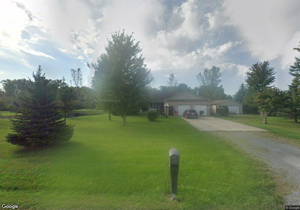
7557 Davidson Rd Delphos, OH 45833
Estimated Value: $263,000 - $419,696
3
Beds
3
Baths
1,904
Sq Ft
$165/Sq Ft
Est. Value
About This Home
This home is located at 7557 Davidson Rd, Delphos, OH 45833 and is currently estimated at $313,924, approximately $164 per square foot. 7557 Davidson Rd is a home located in Allen County with nearby schools including Elida Elementary School, Elida Middle School, and Elida High School.
Ownership History
Date
Name
Owned For
Owner Type
Purchase Details
Closed on
Apr 5, 2021
Bought by
Scott E Lee
Current Estimated Value
Purchase Details
Closed on
Jul 20, 2006
Sold by
Lee Delores
Bought by
Lee Scott E and Lee Leasa K
Create a Home Valuation Report for This Property
The Home Valuation Report is an in-depth analysis detailing your home's value as well as a comparison with similar homes in the area
Home Values in the Area
Average Home Value in this Area
Purchase History
| Date | Buyer | Sale Price | Title Company |
|---|---|---|---|
| Scott E Lee | -- | -- | |
| Lee Scott E | $3,000 | None Available |
Source: Public Records
Tax History Compared to Growth
Tax History
| Year | Tax Paid | Tax Assessment Tax Assessment Total Assessment is a certain percentage of the fair market value that is determined by local assessors to be the total taxable value of land and additions on the property. | Land | Improvement |
|---|---|---|---|---|
| 2024 | $4,545 | $117,220 | $17,330 | $99,890 |
| 2023 | $3,850 | $90,170 | $13,340 | $76,830 |
| 2022 | $3,928 | $89,920 | $13,340 | $76,580 |
| 2021 | $3,548 | $80,930 | $13,340 | $67,590 |
| 2020 | $3,304 | $70,880 | $13,230 | $57,650 |
| 2019 | $3,304 | $70,880 | $13,230 | $57,650 |
| 2018 | $3,331 | $70,880 | $13,230 | $57,650 |
| 2017 | $2,914 | $65,630 | $13,230 | $52,400 |
| 2016 | $2,802 | $63,210 | $13,230 | $49,980 |
| 2015 | $3,023 | $63,210 | $13,230 | $49,980 |
| 2014 | $3,023 | $65,210 | $13,690 | $51,520 |
| 2013 | $2,928 | $65,210 | $13,690 | $51,520 |
Source: Public Records
Map
Nearby Homes
- 3838 Kemp Rd N
- 1784 Woodberry Creek Dr
- 1734 Woodberry Creek Dr
- 5825 Poling Rd
- 6726 Elida Rd
- 5280 Lobo St
- 2922 Dutch Hollow Rd
- 2733 Lilly Dr
- 213 Johns Ave
- 5126 Pheasant St
- 5103 Hummingbird St
- 4917 Pheasant St
- 4901 Hummingbird St
- 2048 Morning Glory Dr
- 4723 Amaryllis St
- 7180 W State Rd
- 4540 East Rd
- 5550 Hartman Rd
- 0000 Baty Rd
- 200 Fraunfelter Rd S
- 7430 Davidson Rd
- 7805 Davidson Rd
- 7790 Davidson Rd
- 7810 Davidson Rd
- 2423 Grubb Rd N
- 0 Davidson Rd
- 2510 Grubb Rd N
- 2424 Grubb Rd N
- 2715 Grubb Rd N
- 7900 Davidson Rd
- 2121 Grubb Rd N
- 2710 Grubb Rd N
- 2740 Grubb Rd N
- 7998 Davidson Rd
- 7999 Davidson Rd
- 2550 Mcbride Rd
- 2610 Mcbride Rd
- 2400 Mcbride Rd
- XXXX Mcbride Rd
- 2332 Mcbride Rd