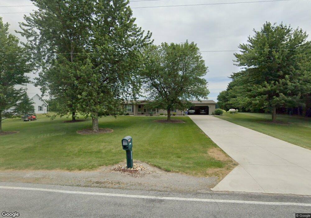
7560 County Road 12 Wauseon, OH 43567
Estimated Value: $227,000 - $292,000
3
Beds
3
Baths
1,470
Sq Ft
$174/Sq Ft
Est. Value
About This Home
This home is located at 7560 County Road 12, Wauseon, OH 43567 and is currently estimated at $255,701, approximately $173 per square foot. 7560 County Road 12 is a home located in Fulton County with nearby schools including Wauseon Primary School, Wauseon Elementary School, and Wauseon Middle School.
Ownership History
Date
Name
Owned For
Owner Type
Purchase Details
Closed on
Sep 30, 2011
Sold by
Frankart Kurt A and Frankart Jill E
Bought by
Wyse Todd S and Wyse Melanie L
Current Estimated Value
Home Financials for this Owner
Home Financials are based on the most recent Mortgage that was taken out on this home.
Original Mortgage
$111,500
Outstanding Balance
$76,194
Interest Rate
4.14%
Mortgage Type
New Conventional
Estimated Equity
$179,507
Purchase Details
Closed on
Jun 29, 2007
Sold by
Winterroth John L
Bought by
Frankart Kurt A
Home Financials for this Owner
Home Financials are based on the most recent Mortgage that was taken out on this home.
Original Mortgage
$127,400
Interest Rate
6.26%
Mortgage Type
Purchase Money Mortgage
Purchase Details
Closed on
Jan 1, 1990
Bought by
Winterroth John L
Create a Home Valuation Report for This Property
The Home Valuation Report is an in-depth analysis detailing your home's value as well as a comparison with similar homes in the area
Home Values in the Area
Average Home Value in this Area
Purchase History
| Date | Buyer | Sale Price | Title Company |
|---|---|---|---|
| Wyse Todd S | $117,500 | Attorney | |
| Frankart Kurt A | $149,900 | Attorney | |
| Winterroth John L | -- | -- |
Source: Public Records
Mortgage History
| Date | Status | Borrower | Loan Amount |
|---|---|---|---|
| Open | Wyse Todd S | $111,500 | |
| Previous Owner | Frankart Kurt A | $127,400 |
Source: Public Records
Tax History Compared to Growth
Tax History
| Year | Tax Paid | Tax Assessment Tax Assessment Total Assessment is a certain percentage of the fair market value that is determined by local assessors to be the total taxable value of land and additions on the property. | Land | Improvement |
|---|---|---|---|---|
| 2024 | $2,978 | $64,230 | $9,000 | $55,230 |
| 2023 | $2,982 | $64,230 | $9,000 | $55,230 |
| 2022 | $2,814 | $51,660 | $7,490 | $44,170 |
| 2021 | $2,955 | $51,660 | $7,490 | $44,170 |
| 2020 | $2,778 | $51,660 | $7,490 | $44,170 |
| 2019 | $2,509 | $46,870 | $7,350 | $39,520 |
| 2018 | $2,189 | $46,870 | $7,350 | $39,520 |
| 2017 | $2,131 | $46,870 | $7,350 | $39,520 |
| 2016 | $2,106 | $40,850 | $7,350 | $33,500 |
| 2015 | $1,965 | $40,850 | $7,350 | $33,500 |
| 2014 | $2,025 | $40,850 | $7,350 | $33,500 |
| 2013 | $2,039 | $37,770 | $7,670 | $30,100 |
Source: Public Records
Map
Nearby Homes
- 7620 County Road 12
- 7373 County Road 12
- 0 County Road H
- 13242 Us Highway 20a
- 8453 County Road 13
- 13354 U S 20a
- 1209 Apache Dr
- Integrity 1830 Plan at Arrowhead Trails
- integrity 2280 Plan at Arrowhead Trails
- Integrity 2080 Plan at Arrowhead Trails
- 1090 Seneca Dr
- 1062 Seneca Dr
- 1058 Seneca Dr
- 1066 Seneca Dr
- 460 Airport Hwy
- 14578 Us Highway 20a
- 801 N Shoop Ave
- 00 Glenwood
- 0 Glenwood Unit 6124946
- 527 E Elm St
- 7530 County Road 12
- 7580 County Road 12
- 7480 County Road 12
- 7670 County Road 12
- 7411 County Road 12
- 7671 County Road 12
- 7707 County Road 12
- 7770 County Road 12
- 7720 County Road 12
- 7369 County Road 12
- 7721 County Road 12
- 7341 County Road 12
- 7830 County Road 12
- 7870 County Road 12
- 7980 County Road 12
- 7116 County Road 12
- 11920 County Road H
- 12263 County Road H
- 11970 County Road H
- 7095 County Road 12