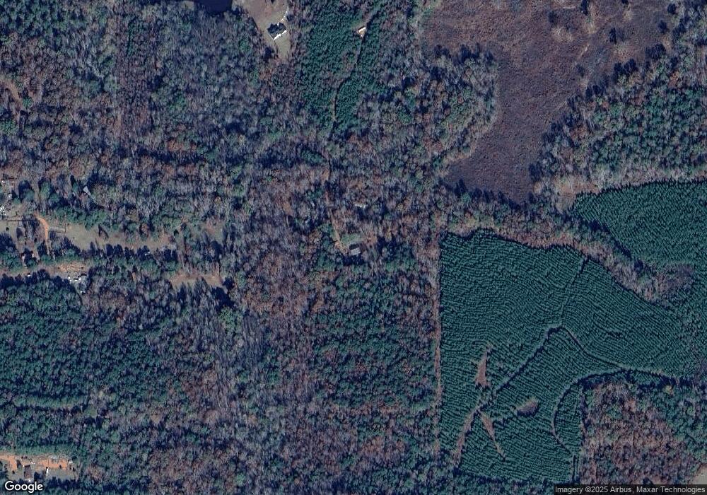
757 Dunlap Rd Luthersville, GA 30251
Estimated Value: $190,216 - $313,000
3
Beds
2
Baths
1,144
Sq Ft
$213/Sq Ft
Est. Value
About This Home
This home is located at 757 Dunlap Rd, Luthersville, GA 30251 and is currently estimated at $244,054, approximately $213 per square foot. 757 Dunlap Rd is a home with nearby schools including Unity Elementary School.
Ownership History
Date
Name
Owned For
Owner Type
Purchase Details
Closed on
Sep 25, 1998
Sold by
Powell Patricia and Powell Ja
Bought by
Mccullough Ronnie M
Current Estimated Value
Purchase Details
Closed on
Dec 7, 1995
Sold by
Jim Walters Homes In
Bought by
Powell Patricia and Powell Ja
Purchase Details
Closed on
Dec 6, 1995
Sold by
Wade William J
Bought by
Jim Walters Homes In
Purchase Details
Closed on
Dec 5, 1995
Sold by
Cape Jeffery M and Cape Tam
Bought by
Wade William J
Purchase Details
Closed on
Nov 1, 1991
Sold by
Cobb Junior Ray and Cobb Et
Bought by
Cape Jeffery M and Cape Tam
Create a Home Valuation Report for This Property
The Home Valuation Report is an in-depth analysis detailing your home's value as well as a comparison with similar homes in the area
Home Values in the Area
Average Home Value in this Area
Purchase History
| Date | Buyer | Sale Price | Title Company |
|---|---|---|---|
| Mccullough Ronnie M | -- | -- | |
| Powell Patricia | $54,000 | -- | |
| Jim Walters Homes In | $1,000 | -- | |
| Wade William J | $69,300 | -- | |
| Cape Jeffery M | $1,000 | -- |
Source: Public Records
Tax History Compared to Growth
Tax History
| Year | Tax Paid | Tax Assessment Tax Assessment Total Assessment is a certain percentage of the fair market value that is determined by local assessors to be the total taxable value of land and additions on the property. | Land | Improvement |
|---|---|---|---|---|
| 2024 | $1,847 | $55,600 | $5,680 | $49,920 |
| 2023 | $1,292 | $37,440 | $5,680 | $31,760 |
| 2022 | $1,292 | $37,440 | $5,680 | $31,760 |
| 2021 | $1,313 | $37,440 | $5,680 | $31,760 |
| 2020 | $1,323 | $37,440 | $5,680 | $31,760 |
| 2019 | $1,327 | $37,440 | $5,680 | $31,760 |
| 2018 | $1,339 | $37,440 | $5,680 | $31,760 |
| 2017 | $1,355 | $37,440 | $5,680 | $31,760 |
| 2016 | $1,233 | $37,440 | $5,680 | $31,760 |
| 2015 | $1,234 | $37,440 | $5,680 | $31,760 |
| 2014 | $1,235 | $37,440 | $5,680 | $31,760 |
| 2013 | -- | $37,440 | $5,680 | $31,760 |
Source: Public Records
Map
Nearby Homes
- 1606 McWilliams Barber Rd
- 6288 Rocky Mount Rd Unit 2
- 6348 Rocky Mount Rd Unit 3
- 5529 Rocky Mount Rd
- 0 Bethel Church Rd Unit 221403
- 882 Caldwell Rd
- 2046 McWilliams Barber Rd
- 1256 Coleman Creek Cir
- 6536 Luthersville Rd
- 19 ACRES 6536 Luthersville Rd Unit 19 ACRES
- The Millie Plan at Andrews Mill
- 0 Rocky Mount Rd Unit 10592451
- 0 Andrews Mill Rd Unit LOT 2 10581693
- 0 Andrews Mill Rd Unit LOT 1 10571858
- 661 Hugh O Neal Rd
- 759 Alvaton Rd
- The Millie Plan at Roosevelt Hwy
- The Bradford Plan at Roosevelt Hwy
- 711 Hunter Welch Pkwy
- 629 Hunter Welch Pkwy
- 367 Cobb Ln
- 861 Dunlap Rd
- 1726 McWilliams Barber Rd
- 602 Hunter Ln Unit 20
- 602 Hunter Ln
- 1526 McWilliams Barber Rd
- 80 Cobb Ln
- 145 Hunter Welch
- 145 Hunter Welch Unit 145
- 144 Hunter Welch
- 1160 Dunlap Rd
- 1041 Dunlap Rd Unit 7
- 0 Cobb Ln Unit 8728227
- 0 Cobb Ln Unit 8457431
- 0 Cobb Ln
- 117 Cobb Ln
- 1518 McWilliams Barber Rd
- 1548 McWilliams Barber Rd
- 505 Dunlap Rd
- 1846 McWilliams Barber Rd Unit 1
