757 Holborn Rd Streetsboro, OH 44241
Estimated Value: $320,000 - $394,000
3
Beds
3
Baths
1,758
Sq Ft
$197/Sq Ft
Est. Value
About This Home
This home is located at 757 Holborn Rd, Streetsboro, OH 44241 and is currently estimated at $345,679, approximately $196 per square foot. 757 Holborn Rd is a home located in Portage County with nearby schools including Campus Intermediate Elementary School, Henry Defer Intermediate Elementary School, and Streetsboro Middle School.
Ownership History
Date
Name
Owned For
Owner Type
Purchase Details
Closed on
Feb 6, 2002
Sold by
Nvr Inc
Bought by
Sangal Praduman K and Sangal Kumud
Current Estimated Value
Home Financials for this Owner
Home Financials are based on the most recent Mortgage that was taken out on this home.
Original Mortgage
$125,000
Outstanding Balance
$48,725
Interest Rate
7.14%
Estimated Equity
$296,954
Purchase Details
Closed on
Nov 20, 2001
Sold by
Djn Holdings Ltd
Bought by
Nvr Inc and Ryan Homes
Create a Home Valuation Report for This Property
The Home Valuation Report is an in-depth analysis detailing your home's value as well as a comparison with similar homes in the area
Home Values in the Area
Average Home Value in this Area
Purchase History
We collect this data history from publicly available records. To have your information removed, we recommend requesting removal directly through your county’s website.
| Date | Buyer | Sale Price | Title Company |
|---|---|---|---|
| Sangal Praduman K | $221,600 | Nvr Title Agency Llc | |
| Nvr Inc | $44,000 | -- |
Source: Public Records
Mortgage History
We collect this data history from publicly available records. To have your information removed, we recommend requesting removal directly through your county’s website.
| Date | Status | Borrower | Loan Amount |
|---|---|---|---|
| Open | Sangal Praduman K | $125,000 |
Source: Public Records
Tax History
| Year | Tax Paid | Tax Assessment Tax Assessment Total Assessment is a certain percentage of the fair market value that is determined by local assessors to be the total taxable value of land and additions on the property. | Land | Improvement |
|---|---|---|---|---|
| 2025 | $3,967 | $105,910 | $14,000 | $91,910 |
| 2024 | $3,972 | $105,910 | $14,000 | $91,910 |
| 2023 | $3,565 | $79,800 | $12,250 | $67,550 |
| 2022 | $3,592 | $79,800 | $12,250 | $67,550 |
| 2021 | $3,605 | $79,800 | $12,250 | $67,550 |
| 2020 | $3,528 | $72,560 | $12,250 | $60,310 |
| 2019 | $3,561 | $72,560 | $12,250 | $60,310 |
| 2018 | $2,924 | $65,660 | $13,230 | $52,430 |
| 2017 | $2,823 | $65,660 | $13,230 | $52,430 |
| 2016 | $2,825 | $65,660 | $13,230 | $52,430 |
| 2015 | $2,766 | $65,660 | $13,230 | $52,430 |
| 2014 | $2,990 | $59,610 | $12,250 | $47,360 |
| 2013 | $2,977 | $59,610 | $12,250 | $47,360 |
Source: Public Records
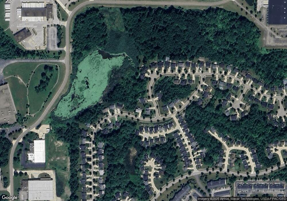
Map
Nearby Homes
- 865 Holborn Rd
- 10120 Gloucester Rd
- 632 Edmond Ave
- 1025 Frost Rd
- 440 Kimberly Dr
- 10252 Wellman Rd Unit 19
- 9883 Meldon Dr
- 1295 Vantage Way
- 7687 Ravenna Rd
- 1426 Lancelot St
- 9978 Mordred Ln
- 9994 William Henry Dr
- 10057 William Henry Dr
- 1517 Lady Anne
- 10096 William Henry Dr
- 448 Equestra N
- 9340 Hickory Ridge Dr
- 1565 Guenevere St
- 10164 William Henry Dr
- 985 Goldenrod Trail Unit 16K
- 10117 Brushwood Dr
- 753 Holborn Rd
- 756 Holborn Rd
- 10125 Brushwood Dr
- 10109 Brushwood Dr
- 10129 Brushwood Dr
- 751 Fawn Ct
- 741 Fawn Ct
- 10105 Brushwood Dr
- 761 Fawn Ct
- 771 Fawn Ct
- 731 Fawn Ct
- 10133 Brushwood Dr
- 781 Fawn Ct
- 10106 Brushwood Dr
- 773 Holborn Rd
- 791 Fawn Ct
- 801 Fawn Ct
- 790 Holborn Rd
- 777 Holborn Rd
Your Personal Tour Guide
Ask me questions while you tour the home.