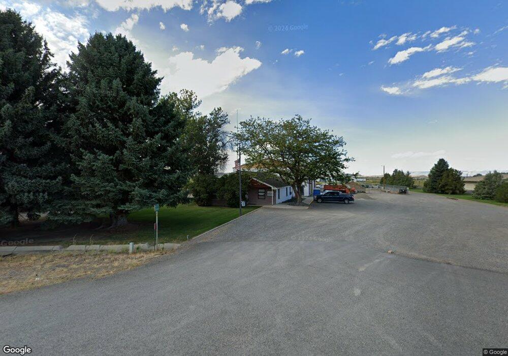
757 Us Highway 14a Powell, WY 82435
Estimated Value: $446,000 - $550,000
4
Beds
2
Baths
2,394
Sq Ft
$215/Sq Ft
Est. Value
About This Home
This home is located at 757 Us Highway 14a, Powell, WY 82435 and is currently estimated at $514,417, approximately $214 per square foot. 757 Us Highway 14a is a home located in Park County with nearby schools including Parkside Elementary School, Clark Elementary School, and Powell Middle School.
Ownership History
Date
Name
Owned For
Owner Type
Purchase Details
Closed on
Jul 22, 2016
Sold by
Bjornestad Curtis R and Bjornestad Erin
Bought by
Sand Emily
Current Estimated Value
Purchase Details
Closed on
Oct 23, 2013
Sold by
Hudson Barbara J
Bought by
Bjornestad Curtis R and Bjornestad Erin
Home Financials for this Owner
Home Financials are based on the most recent Mortgage that was taken out on this home.
Original Mortgage
$199,192
Interest Rate
4.62%
Mortgage Type
VA
Create a Home Valuation Report for This Property
The Home Valuation Report is an in-depth analysis detailing your home's value as well as a comparison with similar homes in the area
Home Values in the Area
Average Home Value in this Area
Purchase History
| Date | Buyer | Sale Price | Title Company |
|---|---|---|---|
| Sand Emily | -- | First American Title | |
| Bjornestad Curtis R | -- | None Available |
Source: Public Records
Mortgage History
| Date | Status | Borrower | Loan Amount |
|---|---|---|---|
| Previous Owner | Bjornestad Curtis R | $199,192 |
Source: Public Records
Tax History Compared to Growth
Tax History
| Year | Tax Paid | Tax Assessment Tax Assessment Total Assessment is a certain percentage of the fair market value that is determined by local assessors to be the total taxable value of land and additions on the property. | Land | Improvement |
|---|---|---|---|---|
| 2025 | $2,468 | $34,870 | $6,312 | $28,558 |
| 2024 | $3,188 | $45,036 | $8,092 | $36,944 |
| 2023 | $3,097 | $44,400 | $8,092 | $36,308 |
| 2022 | $2,611 | $37,431 | $5,387 | $32,044 |
| 2021 | $2,252 | $31,808 | $5,251 | $26,557 |
| 2020 | $2,111 | $29,647 | $5,251 | $24,396 |
| 2019 | $2,062 | $28,836 | $5,381 | $23,455 |
| 2018 | $1,988 | $27,808 | $5,381 | $22,427 |
| 2017 | $1,892 | $26,559 | $5,381 | $21,178 |
| 2016 | $1,741 | $25,099 | $5,186 | $19,913 |
| 2015 | $1,713 | $24,674 | $4,776 | $19,898 |
| 2014 | $1,619 | $23,695 | $4,830 | $18,865 |
Source: Public Records
Map
Nearby Homes
- 278 S Jones St
- 868 E North St
- 665 E 7th St
- 1107 E Madison St
- 1142 E Madison St
- 1165 Van Place
- 950 Road 7
- 529 Beartooth Dr
- 665 N Day St
- 744 N Day St
- 543 N Day St
- 853 N Day St Unit 66
- 847 N Clark St
- 139 E 7th St
- 235 E 2nd St
- 668 N Bent St
- 445 N Absaroka St
- 506 S Day St
- 247 N Bernard St
- TBD Lane 10 Unit Lot 3
- 757 Us Highway 14a
- 759 Us Highway 14a
- 746 Lane 8 1 2
- 745 Us Highway 14a
- 500 Hastings Horseshoe
- nhn 7th St Unit Lot 6
- nhn 7th St
- 1201 E 7th St
- 797 Us Highway 14a
- nhn Panther Blvd
- 774 Lane 9
- TBD Clark St Clark St
- C. Crafts/bonus Clark St
- TBD Ln 9
- 824 Road 8
- 1175 Panther Blvd
- TBD Lane 8h
- 811 Road 8
- 711 Lane 9
- 737 Lane 8