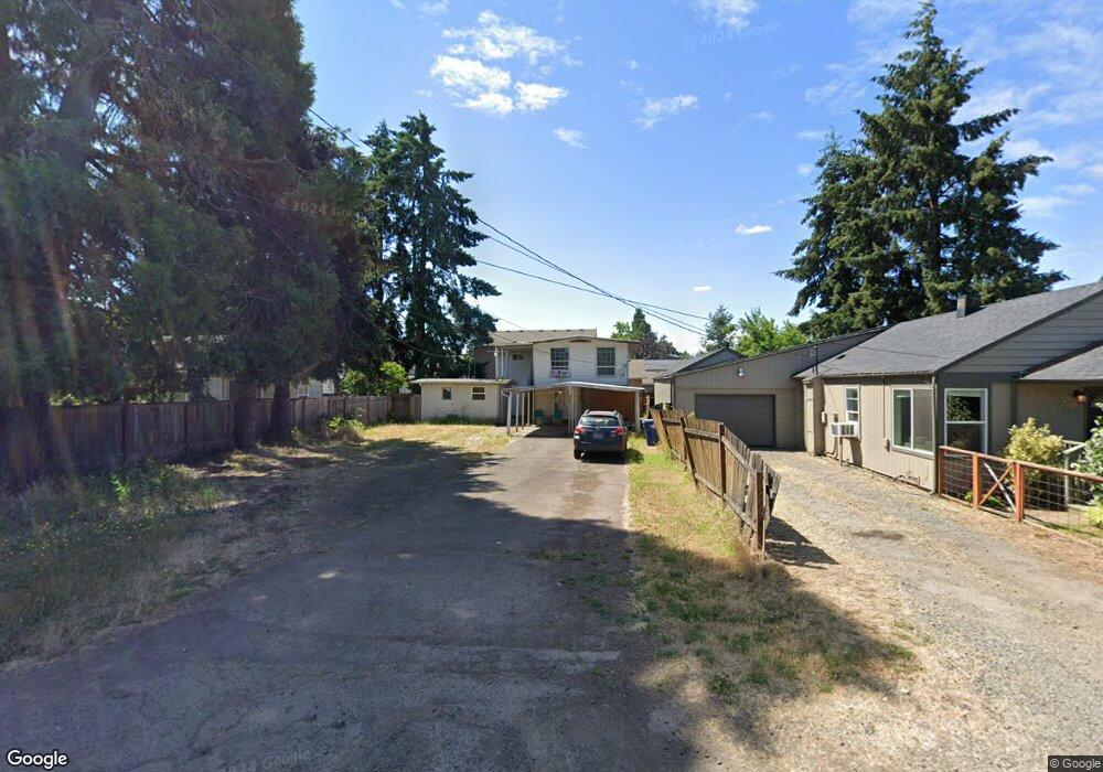
757 W N St Unit 1 Springfield, OR 97477
West Springfield NeighborhoodEstimated Value: $307,652 - $367,000
4
Beds
2
Baths
1,120
Sq Ft
$311/Sq Ft
Est. Value
About This Home
This home is located at 757 W N St Unit 1, Springfield, OR 97477 and is currently estimated at $347,913, approximately $310 per square foot. 757 W N St Unit 1 is a home located in Lane County with nearby schools including Centennial Elementary School, Hamlin Middle School, and Springfield High School.
Ownership History
Date
Name
Owned For
Owner Type
Purchase Details
Closed on
Feb 15, 2006
Sold by
Booth Danny R and Booth Sharolyn R
Bought by
Colindres Cesar E
Current Estimated Value
Home Financials for this Owner
Home Financials are based on the most recent Mortgage that was taken out on this home.
Original Mortgage
$131,250
Outstanding Balance
$85,059
Interest Rate
9%
Mortgage Type
Fannie Mae Freddie Mac
Estimated Equity
$262,854
Purchase Details
Closed on
Oct 29, 1997
Sold by
Fish James F
Bought by
Booth Danny R and Booth Sharolyn R
Purchase Details
Closed on
Oct 23, 1997
Sold by
Camery Virginia B
Bought by
Fish James F
Create a Home Valuation Report for This Property
The Home Valuation Report is an in-depth analysis detailing your home's value as well as a comparison with similar homes in the area
Home Values in the Area
Average Home Value in this Area
Purchase History
| Date | Buyer | Sale Price | Title Company |
|---|---|---|---|
| Colindres Cesar E | $154,500 | Evergreen Land Title Co | |
| Booth Danny R | $73,000 | Key Title Company | |
| Fish James F | -- | Key Title Company |
Source: Public Records
Mortgage History
| Date | Status | Borrower | Loan Amount |
|---|---|---|---|
| Open | Colindres Cesar E | $131,250 |
Source: Public Records
Tax History
| Year | Tax Paid | Tax Assessment Tax Assessment Total Assessment is a certain percentage of the fair market value that is determined by local assessors to be the total taxable value of land and additions on the property. | Land | Improvement |
|---|---|---|---|---|
| 2025 | $2,232 | $121,709 | -- | -- |
| 2024 | $2,196 | $118,165 | -- | -- |
| 2023 | $2,196 | $114,724 | $0 | $0 |
| 2022 | $2,034 | $111,383 | $0 | $0 |
| 2021 | $1,997 | $108,139 | $0 | $0 |
| 2020 | $1,939 | $104,990 | $0 | $0 |
| 2019 | $1,881 | $101,933 | $0 | $0 |
| 2018 | $1,773 | $96,083 | $0 | $0 |
| 2017 | $1,705 | $96,083 | $0 | $0 |
| 2016 | $1,669 | $93,284 | $0 | $0 |
| 2015 | $1,621 | $90,567 | $0 | $0 |
| 2014 | $1,597 | $87,929 | $0 | $0 |
Source: Public Records
Map
Nearby Homes
- 804 W N St
- 535 Pacific Ave
- 428 W Centennial Blvd
- 930 Prescott Ln
- 952 Summit Blvd
- 1074 Hamilton St
- 485 Scotts Glen Dr
- 364 Scotts Glen Dr
- 451 Lochaven Ave
- 898 Lochaven Ave
- 1130 Anderson Ln
- 552 W D St
- 2150 Laura St Unit 119
- 2150 Laura St Unit 111
- 2150 Laura St Unit 39
- 2150 Laura St Unit 57
- 2150 Laura St Unit 83
- 2150 Laura St Unit 44
- 2150 Laura (#57) St Unit 57
- 835 Anderson Ln
Your Personal Tour Guide
Ask me questions while you tour the home.