Estimated Value: $1,154,068 - $1,394,000
4
Beds
5
Baths
5,619
Sq Ft
$218/Sq Ft
Est. Value
About This Home
This home is located at 7579 Rollingbrook Trail, Solon, OH 44139 and is currently estimated at $1,227,267, approximately $218 per square foot. 7579 Rollingbrook Trail is a home located in Cuyahoga County with nearby schools including Orchard Middle School, Solon Middle School, and Solon High School.
Ownership History
Date
Name
Owned For
Owner Type
Purchase Details
Closed on
Nov 28, 2005
Sold by
Braun Dale E and Braun Maura M
Bought by
Whitman Marlene and Marlene Whitman Living Trust
Current Estimated Value
Purchase Details
Closed on
Jun 15, 1994
Sold by
Transco Const Inc
Bought by
Braun Dale E and Braun Maura M
Home Financials for this Owner
Home Financials are based on the most recent Mortgage that was taken out on this home.
Original Mortgage
$118,000
Interest Rate
8.58%
Mortgage Type
New Conventional
Purchase Details
Closed on
Sep 15, 1992
Sold by
Rossi Gloria E
Bought by
Transco Construction Inc
Purchase Details
Closed on
Jun 30, 1989
Bought by
Rossi Michael P
Purchase Details
Closed on
Jan 1, 1987
Bought by
Transco Const Inc
Create a Home Valuation Report for This Property
The Home Valuation Report is an in-depth analysis detailing your home's value as well as a comparison with similar homes in the area
Home Values in the Area
Average Home Value in this Area
Purchase History
| Date | Buyer | Sale Price | Title Company |
|---|---|---|---|
| Whitman Marlene | $896,471 | Erie Title Agency | |
| Braun Dale E | $157,500 | -- | |
| Transco Construction Inc | $103,000 | -- | |
| Rossi Gloria E | -- | -- | |
| Rossi Michael P | $98,000 | -- | |
| Transco Const Inc | -- | -- |
Source: Public Records
Mortgage History
| Date | Status | Borrower | Loan Amount |
|---|---|---|---|
| Previous Owner | Braun Dale E | $118,000 |
Source: Public Records
Tax History
| Year | Tax Paid | Tax Assessment Tax Assessment Total Assessment is a certain percentage of the fair market value that is determined by local assessors to be the total taxable value of land and additions on the property. | Land | Improvement |
|---|---|---|---|---|
| 2024 | $19,789 | $344,750 | $104,895 | $239,855 |
| 2023 | $18,998 | $270,620 | $58,240 | $212,380 |
| 2022 | $18,960 | $270,620 | $58,240 | $212,380 |
| 2021 | $18,756 | $270,620 | $58,240 | $212,380 |
| 2020 | $20,046 | $265,300 | $57,090 | $208,220 |
| 2019 | $19,443 | $758,000 | $163,100 | $594,900 |
| 2018 | $17,501 | $265,300 | $57,090 | $208,220 |
| 2017 | $17,753 | $253,760 | $95,100 | $158,660 |
| 2016 | $17,595 | $300,900 | $95,100 | $205,800 |
| 2015 | $20,072 | $300,900 | $95,100 | $205,800 |
| 2014 | $20,072 | $281,230 | $88,870 | $192,360 |
Source: Public Records
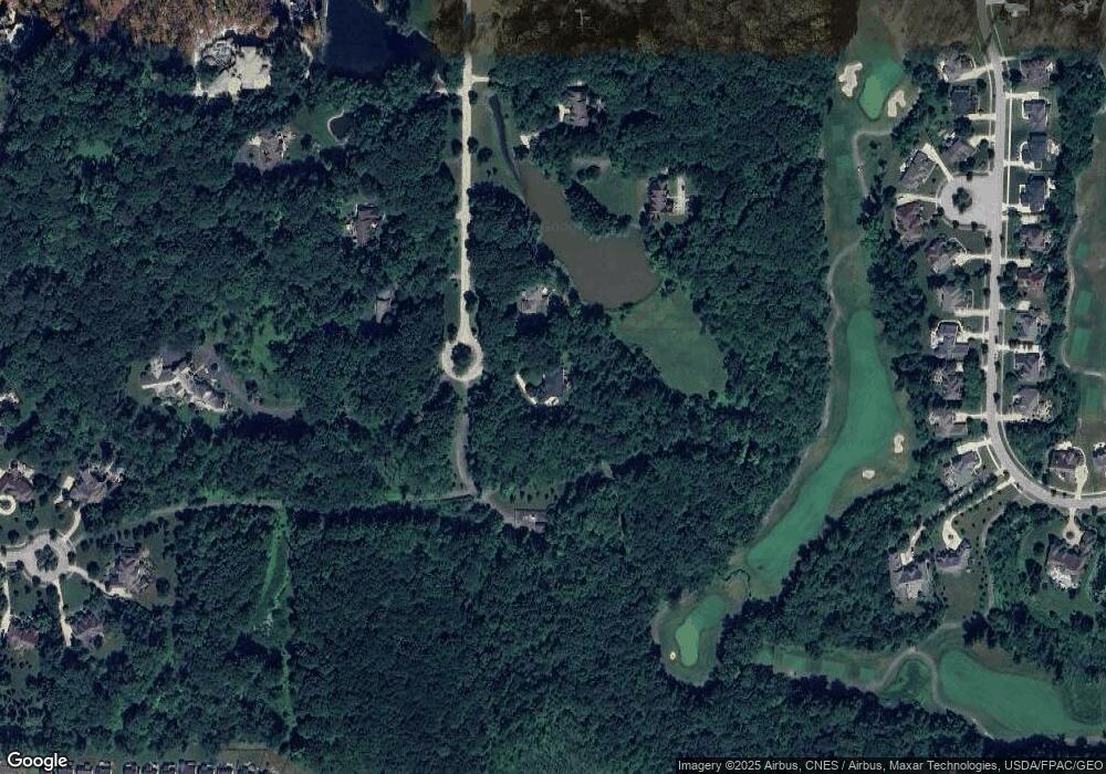
Map
Nearby Homes
- V/L 3-31 Willow St
- 10373 Glenway Dr Unit 202
- 7234 Castle Pine Dr
- 3082 Willowbrook Dr
- 39600 Aurora Rd
- 38325 Pettibone Rd
- 38655 Pettibone Rd
- 36965 Wexford Dr
- 10488 California St
- 3660 Ivy Ct
- 3784 Firethorn Dr
- 7268 Annadale Dr
- 10400 Maryland St
- 1177 Moneta Ave
- 36725 Pettibone Rd
- 38345 Aurora Rd
- 11241 Stanley Ln
- 1174 Bryce Ave
- 3659 Shady Timber Dr
- 3624 Nautilus Trail
- 7549 Rollingbrook Trail
- 7560 Rollingbrook Trail
- 7529 Rollingbrook Trail
- 7540 Rollingbrook Trail
- 7509 Rollingbrook Trail
- 7489 Rollingbrook Trail
- 7580 Rollingbrook Trail
- 7520 Rollingbrook Trail
- 7560 Royal Portrush Dr
- 7626 Royal Portrush Dr
- 7610 Royal Portrush Dr
- 7642 Royal Portrush Dr
- 7598 Royal Portrush Dr
- 7584 Royal Portrush Dr
- 7632 Royal Portrush Dr
- 7570 Royal Portrush Dr
- 7548 Royal Portrush Dr
- 7650 Royal Portrush Dr Unit 42B
- 7650 Royal Portrush Dr
- 7500 Rollingbrook Trail
Your Personal Tour Guide
Ask me questions while you tour the home.