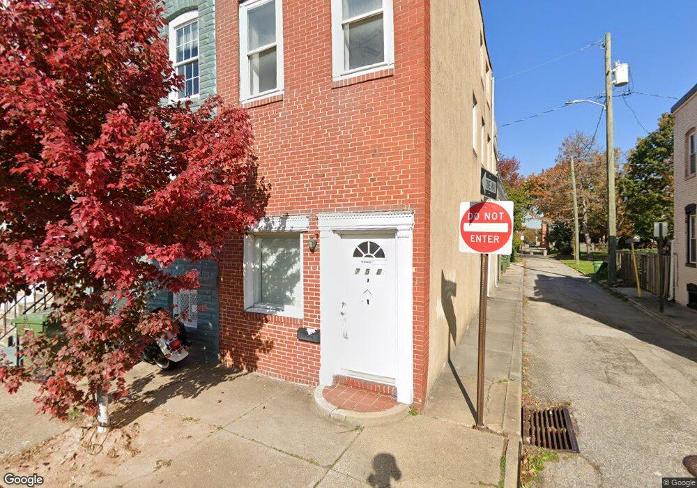
758 Ramsay St Baltimore, MD 21230
Pigtown NeighborhoodEstimated Value: $209,000 - $258,405
4
Beds
3
Baths
1,464
Sq Ft
$160/Sq Ft
Est. Value
About This Home
This home is located at 758 Ramsay St, Baltimore, MD 21230 and is currently estimated at $233,703, approximately $159 per square foot. 758 Ramsay St is a home located in Baltimore City with nearby schools including George Washington Elementary School, Booker T. Washington Middle School, and Digital Harbor High School.
Ownership History
Date
Name
Owned For
Owner Type
Purchase Details
Closed on
Feb 9, 2001
Sold by
G E Capital Mortgage Services
Bought by
Mason Sterlon
Current Estimated Value
Purchase Details
Closed on
Mar 28, 1995
Sold by
Goch Peter
Bought by
Green Bernadette A
Home Financials for this Owner
Home Financials are based on the most recent Mortgage that was taken out on this home.
Original Mortgage
$60,000
Interest Rate
8.78%
Create a Home Valuation Report for This Property
The Home Valuation Report is an in-depth analysis detailing your home's value as well as a comparison with similar homes in the area
Home Values in the Area
Average Home Value in this Area
Purchase History
| Date | Buyer | Sale Price | Title Company |
|---|---|---|---|
| Mason Sterlon | $49,980 | -- | |
| Mason Sterlon | $74,950 | -- | |
| Green Bernadette A | $75,000 | -- |
Source: Public Records
Mortgage History
| Date | Status | Borrower | Loan Amount |
|---|---|---|---|
| Previous Owner | Green Bernadette A | $60,000 |
Source: Public Records
Tax History
| Year | Tax Paid | Tax Assessment Tax Assessment Total Assessment is a certain percentage of the fair market value that is determined by local assessors to be the total taxable value of land and additions on the property. | Land | Improvement |
|---|---|---|---|---|
| 2025 | $3,963 | $178,067 | -- | -- |
| 2024 | $3,963 | $168,733 | -- | -- |
| 2023 | $3,744 | $159,400 | $60,000 | $99,400 |
| 2022 | $3,702 | $156,867 | $0 | $0 |
| 2021 | $3,642 | $154,333 | $0 | $0 |
| 2020 | $3,582 | $151,800 | $60,000 | $91,800 |
| 2019 | $3,489 | $148,567 | $0 | $0 |
| 2018 | $3,430 | $145,333 | $0 | $0 |
| 2017 | $3,354 | $142,100 | $0 | $0 |
| 2016 | $3,843 | $138,767 | $0 | $0 |
| 2015 | $3,843 | $135,433 | $0 | $0 |
| 2014 | $3,843 | $132,100 | $0 | $0 |
Source: Public Records
Map
Nearby Homes
- 337 Scott St
- 739 Mchenry St
- 302 Scott St
- 327 S Fremont Ave
- 803 Washington Blvd
- 311 S Fremont Ave
- 229 S Fremont Ave
- 831 Ramsay St
- 664 Washington Blvd
- 602 Scott St
- 659 Portland St
- 877 Ryan St
- 884 Washington Blvd
- 847 Reinhart St
- 209 Penn St
- 649 Dover St
- 802 W Barre St
- 876 Ryan St
- 628 Scott St
- 711 Scott St
Your Personal Tour Guide
Ask me questions while you tour the home.