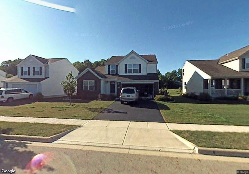
758 Range Dr Galloway, OH 43119
Estimated Value: $356,378 - $394,000
3
Beds
3
Baths
1,612
Sq Ft
$231/Sq Ft
Est. Value
About This Home
This home is located at 758 Range Dr, Galloway, OH 43119 and is currently estimated at $372,595, approximately $231 per square foot. 758 Range Dr is a home located in Franklin County with nearby schools including Brown Elementary School, Hilliard Station Sixth Grade Elementary School, and Hilliard Memorial Middle School.
Ownership History
Date
Name
Owned For
Owner Type
Purchase Details
Closed on
May 15, 2013
Sold by
Meek Joseph
Bought by
Meek Nancy B and Meek Steven P
Current Estimated Value
Home Financials for this Owner
Home Financials are based on the most recent Mortgage that was taken out on this home.
Original Mortgage
$119,250
Outstanding Balance
$82,992
Interest Rate
3.39%
Mortgage Type
Purchase Money Mortgage
Estimated Equity
$289,603
Purchase Details
Closed on
Oct 16, 2006
Sold by
Janko Laura and Janko Meek Laura
Bought by
Meek Steven Joseph
Purchase Details
Closed on
Jul 23, 2003
Sold by
M/I Schottenstein Homes Inc
Bought by
Meek Steven J
Home Financials for this Owner
Home Financials are based on the most recent Mortgage that was taken out on this home.
Original Mortgage
$180,950
Interest Rate
5.31%
Mortgage Type
Purchase Money Mortgage
Create a Home Valuation Report for This Property
The Home Valuation Report is an in-depth analysis detailing your home's value as well as a comparison with similar homes in the area
Home Values in the Area
Average Home Value in this Area
Purchase History
| Date | Buyer | Sale Price | Title Company |
|---|---|---|---|
| Meek Nancy B | $165,000 | None Available | |
| Meek Steven Joseph | -- | None Available | |
| Meek Steven J | $190,500 | Transohio Residential Title |
Source: Public Records
Mortgage History
| Date | Status | Borrower | Loan Amount |
|---|---|---|---|
| Open | Meek Nancy B | $119,250 | |
| Previous Owner | Meek Steven J | $180,950 |
Source: Public Records
Tax History
| Year | Tax Paid | Tax Assessment Tax Assessment Total Assessment is a certain percentage of the fair market value that is determined by local assessors to be the total taxable value of land and additions on the property. | Land | Improvement |
|---|---|---|---|---|
| 2025 | $7,299 | $109,210 | $28,530 | $80,680 |
| 2024 | $7,299 | $109,210 | $28,530 | $80,680 |
| 2023 | $6,286 | $109,200 | $28,525 | $80,675 |
| 2022 | $5,451 | $72,250 | $14,740 | $57,510 |
| 2021 | $5,447 | $72,250 | $14,740 | $57,510 |
| 2020 | $5,441 | $72,250 | $14,740 | $57,510 |
| 2019 | $5,320 | $60,140 | $12,290 | $47,850 |
| 2018 | $5,159 | $60,140 | $12,290 | $47,850 |
| 2017 | $5,191 | $60,140 | $12,290 | $47,850 |
| 2016 | $5,264 | $56,950 | $11,590 | $45,360 |
| 2015 | $4,991 | $56,950 | $11,590 | $45,360 |
| 2014 | $4,950 | $56,950 | $11,590 | $45,360 |
| 2013 | $2,667 | $59,920 | $12,180 | $47,740 |
Source: Public Records
Map
Nearby Homes
- 8496 Leader Dr
- 8553 Bivouac Place
- 0 Dellinger Rd Unit 9 2030113
- 8652 Westpoint Dr
- 8659 Cadet Dr N
- 716 Academy Dr
- 652 Academy Dr
- 638 Darlene Place
- 8873 Canoe Dr
- 8576 Renaa Ave
- 375 Darby Ct
- 8715 Fairbrook Ave
- 535 Murnan Rd
- 59 S Heath Ln
- 68 S West St
- 105 Hidden Creek Dr
- 728 Murnan Rd
- 6352 Ripken St
- 1482 Cardinez Way
- 6350 Ripken St
Your Personal Tour Guide
Ask me questions while you tour the home.