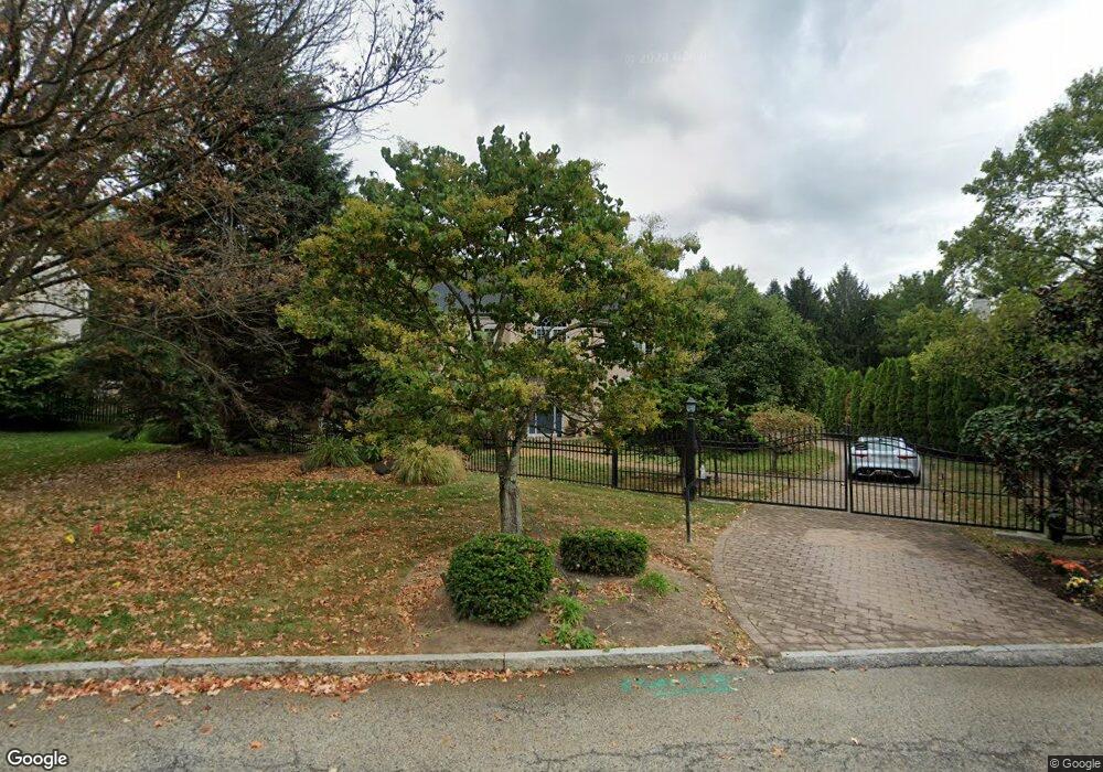
759 Applegate Ln Bryn Mawr, PA 19010
Estimated Value: $1,308,000 - $1,613,000
4
Beds
4
Baths
3,768
Sq Ft
$386/Sq Ft
Est. Value
About This Home
This home is located at 759 Applegate Ln, Bryn Mawr, PA 19010 and is currently estimated at $1,453,862, approximately $385 per square foot. 759 Applegate Ln is a home located in Delaware County with nearby schools including Radnor El School, Radnor Middle School, and Radnor Senior High School.
Ownership History
Date
Name
Owned For
Owner Type
Purchase Details
Closed on
May 19, 2003
Sold by
Relocation Dynamics Inc
Bought by
Rosoff Michael and Rosoff Janet
Current Estimated Value
Home Financials for this Owner
Home Financials are based on the most recent Mortgage that was taken out on this home.
Original Mortgage
$648,000
Outstanding Balance
$291,046
Interest Rate
6.25%
Mortgage Type
Purchase Money Mortgage
Estimated Equity
$1,162,816
Purchase Details
Closed on
Oct 18, 2002
Sold by
Weisman Harlene F and Weisman Sally H
Bought by
Relocation Dynamics Inc
Create a Home Valuation Report for This Property
The Home Valuation Report is an in-depth analysis detailing your home's value as well as a comparison with similar homes in the area
Home Values in the Area
Average Home Value in this Area
Purchase History
| Date | Buyer | Sale Price | Title Company |
|---|---|---|---|
| Rosoff Michael | $720,000 | Commonwealth Land Title Insu | |
| Relocation Dynamics Inc | $720,000 | Commonwealth Land Title Insu |
Source: Public Records
Mortgage History
| Date | Status | Borrower | Loan Amount |
|---|---|---|---|
| Open | Rosoff Michael | $648,000 |
Source: Public Records
Tax History Compared to Growth
Tax History
| Year | Tax Paid | Tax Assessment Tax Assessment Total Assessment is a certain percentage of the fair market value that is determined by local assessors to be the total taxable value of land and additions on the property. | Land | Improvement |
|---|---|---|---|---|
| 2025 | $15,874 | $785,130 | $318,030 | $467,100 |
| 2024 | $15,874 | $785,130 | $318,030 | $467,100 |
| 2023 | $15,245 | $785,130 | $318,030 | $467,100 |
| 2022 | $15,078 | $785,130 | $318,030 | $467,100 |
| 2021 | $24,220 | $785,130 | $318,030 | $467,100 |
| 2020 | $16,862 | $484,710 | $271,110 | $213,600 |
| 2019 | $16,386 | $484,710 | $271,110 | $213,600 |
| 2018 | $16,065 | $484,710 | $0 | $0 |
| 2017 | $15,728 | $484,710 | $0 | $0 |
| 2016 | $2,660 | $484,710 | $0 | $0 |
| 2015 | $2,660 | $484,710 | $0 | $0 |
| 2014 | $2,660 | $484,710 | $0 | $0 |
Source: Public Records
Map
Nearby Homes
- 635 S Ithan Ave
- 408 Barbara Ln Unit B
- 215 Cornell Dr
- 560 S Bryn Mawr Ave
- 406 Barclay Rd
- 390 S Bryn Mawr Ave
- 223 Fitzwilliams Rd
- 625 Heather Ln
- 4 Lockwood Ln
- 7 Lockwood Ln
- 306 Summit Dr
- 3 Lockwood Ln
- 200 S Ithan Ave
- 15 Lockwood Ln
- 219 S Ithan Ave
- 202 Summit Dr Unit B
- 103 Summit Dr Unit B
- 100 Radnor Ave
- 12 Lockwood Ln
- 40 Parkridge Dr Unit 40
- 757 Applegate Ln
- 765 Applegate Ln
- 765 AKA (761) Applegate Ln
- 616 Portledge Dr
- 753 Applegate Ln
- 618 Portledge Dr
- 761 Applegate Ln
- 763 Applegate Ln
- 614 Portledge Dr
- 755 Applegate Ln
- 764 Applegate Ln
- 2 Allens Ln
- 766 Applegate Ln
- 620 Portledge Dr
- 612 Portledge Dr
- 615 Portledge Dr
- 0 Applegate Ln
- 621 Portledge Dr
- 720 Haviland Dr
- 6 Allens Ln