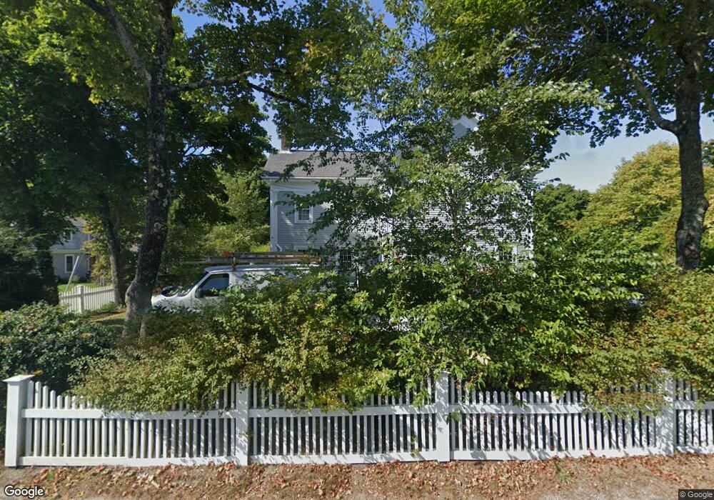
759 Main St Cotuit, MA 02635
Cotuit NeighborhoodEstimated Value: $2,050,000 - $2,381,000
4
Beds
2
Baths
2,702
Sq Ft
$841/Sq Ft
Est. Value
About This Home
This home is located at 759 Main St, Cotuit, MA 02635 and is currently estimated at $2,271,655, approximately $840 per square foot. 759 Main St is a home located in Barnstable County with nearby schools including Barnstable United Elementary School, West Villages Elementary School, and Barnstable Intermediate School.
Ownership History
Date
Name
Owned For
Owner Type
Purchase Details
Closed on
Sep 26, 2023
Sold by
Berkey Patricia A and Berkey Scott A
Bought by
Scott A Berkey Ret and Berkey
Current Estimated Value
Purchase Details
Closed on
Mar 5, 2010
Sold by
Adams Anelia
Bought by
Berkey Scott A and Berkey Patricia A
Home Financials for this Owner
Home Financials are based on the most recent Mortgage that was taken out on this home.
Original Mortgage
$696,000
Interest Rate
5%
Mortgage Type
Purchase Money Mortgage
Create a Home Valuation Report for This Property
The Home Valuation Report is an in-depth analysis detailing your home's value as well as a comparison with similar homes in the area
Home Values in the Area
Average Home Value in this Area
Purchase History
| Date | Buyer | Sale Price | Title Company |
|---|---|---|---|
| Scott A Berkey Ret | -- | None Available | |
| Berkey Scott A | $870,000 | -- |
Source: Public Records
Mortgage History
| Date | Status | Borrower | Loan Amount |
|---|---|---|---|
| Previous Owner | Berkey Scott A | $696,000 |
Source: Public Records
Tax History
| Year | Tax Paid | Tax Assessment Tax Assessment Total Assessment is a certain percentage of the fair market value that is determined by local assessors to be the total taxable value of land and additions on the property. | Land | Improvement |
|---|---|---|---|---|
| 2025 | $18,528 | $2,218,900 | $855,400 | $1,363,500 |
| 2024 | $17,289 | $2,194,000 | $855,400 | $1,338,600 |
| 2023 | $15,500 | $1,851,800 | $706,900 | $1,144,900 |
| 2022 | $14,646 | $1,416,400 | $460,800 | $955,600 |
| 2021 | $1,581 | $1,220,400 | $418,900 | $801,500 |
| 2020 | $13,594 | $1,160,900 | $418,900 | $742,000 |
| 2019 | $3,824 | $1,068,200 | $439,900 | $628,300 |
| 2018 | $169 | $922,600 | $418,900 | $503,700 |
| 2017 | $1,250 | $891,000 | $418,900 | $472,100 |
| 2016 | $10,139 | $880,900 | $422,800 | $458,100 |
| 2015 | $9,943 | $863,100 | $412,900 | $450,200 |
Source: Public Records
Map
Nearby Homes
- 804 Main St
- 135 Putnam Avenue (Land)
- 916 Main St
- 33 Oyster Place Rd
- 1081 Main St
- 30 Wings Ln
- 239 Oxford Dr
- 188 Ocean View Ave
- 6 Cedar St
- 6 Cedar St
- 440 Grand Island Dr
- 602 Putnam Ave
- Lot 288 Seapuit River Rd A
- 311 Waquoit Rd
- 1412 Main St
- 564 Cotuit Bay Dr
- 564 Cotuit Bay Dr
- 835 Old Post Rd
- Lot 289 Seapuit River Road B
- 640 Poponessett Rd
Your Personal Tour Guide
Ask me questions while you tour the home.