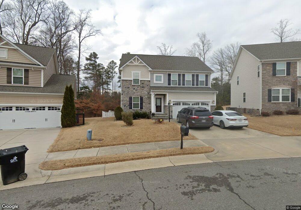
7596 N Franklins Way Quinton, VA 23141
Brookwoods NeighborhoodEstimated Value: $415,000 - $462,000
4
Beds
3
Baths
2,384
Sq Ft
$185/Sq Ft
Est. Value
About This Home
This home is located at 7596 N Franklins Way, Quinton, VA 23141 and is currently estimated at $441,709, approximately $185 per square foot. 7596 N Franklins Way is a home located in New Kent County with nearby schools including New Kent High School and New Bridge Academy.
Ownership History
Date
Name
Owned For
Owner Type
Purchase Details
Closed on
Oct 7, 2014
Sold by
Nvr Inc
Bought by
Campbell Rohan M
Current Estimated Value
Home Financials for this Owner
Home Financials are based on the most recent Mortgage that was taken out on this home.
Original Mortgage
$264,702
Outstanding Balance
$203,007
Interest Rate
4.11%
Mortgage Type
FHA
Estimated Equity
$238,702
Purchase Details
Closed on
Jul 15, 2014
Sold by
Patriots Landing Mgmt Corp
Bought by
Nvr Inc
Create a Home Valuation Report for This Property
The Home Valuation Report is an in-depth analysis detailing your home's value as well as a comparison with similar homes in the area
Home Values in the Area
Average Home Value in this Area
Purchase History
| Date | Buyer | Sale Price | Title Company |
|---|---|---|---|
| Campbell Rohan M | $269,605 | -- | |
| Nvr Inc | $58,920 | -- |
Source: Public Records
Mortgage History
| Date | Status | Borrower | Loan Amount |
|---|---|---|---|
| Open | Nvr Inc | $264,702 |
Source: Public Records
Tax History Compared to Growth
Tax History
| Year | Tax Paid | Tax Assessment Tax Assessment Total Assessment is a certain percentage of the fair market value that is determined by local assessors to be the total taxable value of land and additions on the property. | Land | Improvement |
|---|---|---|---|---|
| 2025 | $2,338 | $389,700 | $84,300 | $305,400 |
| 2024 | $2,299 | $389,700 | $84,300 | $305,400 |
| 2023 | $2,512 | $374,900 | $76,900 | $298,000 |
| 2022 | $2,512 | $374,900 | $76,900 | $298,000 |
| 2021 | $2,611 | $330,500 | $71,800 | $258,700 |
| 2020 | $2,996 | $325,700 | $71,800 | $253,900 |
| 2019 | $3,135 | $323,200 | $66,600 | $256,600 |
| 2018 | $3,135 | $323,200 | $66,600 | $256,600 |
| 2017 | $2,768 | $282,400 | $60,000 | $222,400 |
| 2016 | $2,768 | $282,400 | $60,000 | $222,400 |
| 2015 | $2,244 | $267,200 | $56,000 | $211,200 |
| 2014 | -- | $56,000 | $56,000 | $0 |
Source: Public Records
Map
Nearby Homes
- 2737 Patriots Landing Dr
- 7609 Sugar Magnolia Ln
- 7941 Patriots Landing Place
- 2901 Walnut Dr
- 7836 Woodbrook Rd
- 3121 Ponderosa Pine Ln
- 7399 Club Dr
- 2932 Brook Blvd
- 7471 Shoreline Dr
- 2901 New Kent Hwy
- 3024 Brook Blvd
- 5117 Jenkins Forest Ln
- 3280 Rock Creek Villa Dr
- 3323 Rock Creek Villa Dr
- 7493 Fairway Ridge Dr
- 3359 Rock Creek Villa Dr
- 4800 Stockholm Dr
- 3473 Rock Creek Villa Dr
- 602 Turka Dr
- 5170 Hurop Rd
- 7602 N Franklins Way
- 7588 N Franklins Way
- 7608 N Franklins Way
- 7582 N Franklins Way
- 7564 S Franklins Way
- 7614 N Franklins Way
- 7619 N Franklins Way
- 2682 Kimball Ln
- 7624 N Franklins Way
- 7629 N Franklins Way
- 7560 S Franklins Way
- 7855 Battlefield Commons
- 7851 Battlefield Commons
- 7849 Battlefield Commons
- 7847 Battlefield Commons
- 7845 Battlefield Commons
- 7570 Prince Michael Ct
- 7568 Prince Michael Ct
- 2549 Lord Nelson Ct
- 2547 Lord Nelson Ct