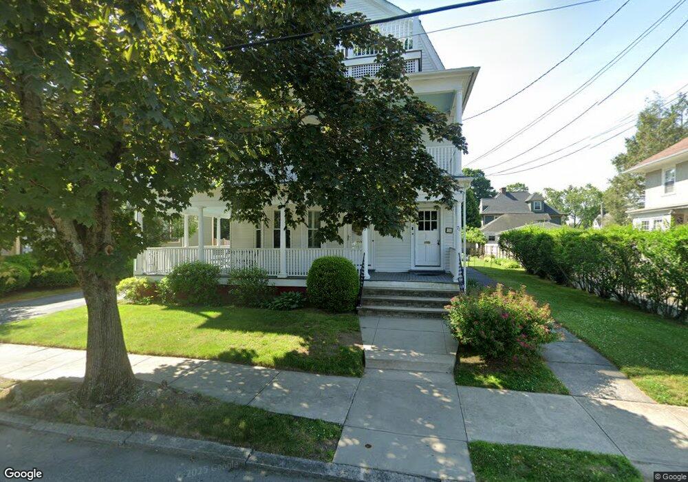
76 Albert Ave Unit 2 Cranston, RI 02905
Edgewood NeighborhoodEstimated Value: $327,000 - $424,000
2
Beds
1
Bath
1,556
Sq Ft
$242/Sq Ft
Est. Value
About This Home
This home is located at 76 Albert Ave Unit 2, Cranston, RI 02905 and is currently estimated at $376,527, approximately $241 per square foot. 76 Albert Ave Unit 2 is a home located in Providence County with nearby schools including Edward S. Rhodes School, Park View Middle School, and Cranston High School East.
Ownership History
Date
Name
Owned For
Owner Type
Purchase Details
Closed on
Sep 30, 2014
Sold by
Kayiaros Stephen and Kayiaros Joanna
Bought by
Wing Laura
Current Estimated Value
Home Financials for this Owner
Home Financials are based on the most recent Mortgage that was taken out on this home.
Original Mortgage
$132,000
Outstanding Balance
$100,980
Interest Rate
4.12%
Mortgage Type
New Conventional
Estimated Equity
$275,547
Create a Home Valuation Report for This Property
The Home Valuation Report is an in-depth analysis detailing your home's value as well as a comparison with similar homes in the area
Home Values in the Area
Average Home Value in this Area
Purchase History
| Date | Buyer | Sale Price | Title Company |
|---|---|---|---|
| Wing Laura | $176,000 | -- |
Source: Public Records
Mortgage History
| Date | Status | Borrower | Loan Amount |
|---|---|---|---|
| Open | Wing Laura | $132,000 |
Source: Public Records
Tax History Compared to Growth
Tax History
| Year | Tax Paid | Tax Assessment Tax Assessment Total Assessment is a certain percentage of the fair market value that is determined by local assessors to be the total taxable value of land and additions on the property. | Land | Improvement |
|---|---|---|---|---|
| 2025 | $3,313 | $238,700 | $0 | $238,700 |
| 2024 | $3,249 | $238,700 | $0 | $238,700 |
| 2023 | $3,368 | $178,200 | $0 | $178,200 |
| 2022 | $3,298 | $178,200 | $0 | $178,200 |
| 2021 | $3,208 | $178,200 | $0 | $178,200 |
| 2020 | $3,394 | $163,400 | $0 | $163,400 |
| 2019 | $3,394 | $163,400 | $0 | $163,400 |
| 2018 | $3,315 | $163,400 | $0 | $163,400 |
| 2017 | $3,884 | $169,300 | $0 | $169,300 |
| 2016 | $3,801 | $169,300 | $0 | $169,300 |
| 2015 | $3,801 | $169,300 | $0 | $169,300 |
| 2014 | $4,317 | $189,000 | $0 | $189,000 |
Source: Public Records
Map
Nearby Homes
- 51 Columbia Ave
- 1291 Narragansett Blvd Unit 4
- 98 Columbia Ave
- 126 Columbia Ave
- 114 Norwood Ave
- 2 Kensington Rd
- 164 Norwood Ave
- 15 Wheeler Ave
- 177 Arnold Ave
- 88 Wentworth Ave
- 1732 Broad St
- 82 Sefton Dr
- 19 Warwick Ave
- 154 Armington St
- 67 Armington St
- 2038 Broad St
- 102 Betsey Williams Dr
- 303 Narragansett St
- 153 Ferncrest Ave
- 10 Sylvan Ave
- 76 Albert Ave Unit 3
- 76 Albert Ave Unit 1
- 78 Albert Ave Unit 3
- 84 Albert Ave
- 70 Albert Ave Unit 2
- 70 Albert Ave Unit 3
- 70 Albert Ave Unit 1
- 55 Columbia Ave
- 77 Albert Ave
- 88 Albert Ave
- 88 Albert Ave Unit 3
- 88 Albert Ave Unit 1
- 88 Albert Ave Unit 2
- 64 Albert Ave
- 67 Columbia Ave
- 83 Albert Ave
- 53 Columbia Ave
- 53 Columbia Ave Unit 53
- 75 Albert Ave
- 75 Columbia Ave