76 Arrowhead Point Cedar Grove, TN 38321
Estimated Value: $277,437 - $387,000
3
Beds
2
Baths
1,647
Sq Ft
$210/Sq Ft
Est. Value
About This Home
This home is located at 76 Arrowhead Point, Cedar Grove, TN 38321 and is currently estimated at $345,609, approximately $209 per square foot. 76 Arrowhead Point is a home located in Carroll County with nearby schools including West Carroll Primary School, West Carroll Elementary School, and West Carroll Junior/Senior High School.
Ownership History
Date
Name
Owned For
Owner Type
Purchase Details
Closed on
Jul 19, 2016
Sold by
Harkey William Eugene /Tr
Bought by
Boyd James A
Current Estimated Value
Home Financials for this Owner
Home Financials are based on the most recent Mortgage that was taken out on this home.
Original Mortgage
$143,958
Outstanding Balance
$114,612
Interest Rate
3.58%
Estimated Equity
$230,997
Purchase Details
Closed on
Sep 27, 2010
Sold by
Indian Springs Timber Llc
Bought by
Harkey William Eugene
Create a Home Valuation Report for This Property
The Home Valuation Report is an in-depth analysis detailing your home's value as well as a comparison with similar homes in the area
Home Values in the Area
Average Home Value in this Area
Purchase History
| Date | Buyer | Sale Price | Title Company |
|---|---|---|---|
| Boyd James A | $140,000 | -- | |
| Harkey William Eugene | $165,000 | -- |
Source: Public Records
Mortgage History
| Date | Status | Borrower | Loan Amount |
|---|---|---|---|
| Open | Boyd James A | $143,958 |
Source: Public Records
Tax History Compared to Growth
Tax History
| Year | Tax Paid | Tax Assessment Tax Assessment Total Assessment is a certain percentage of the fair market value that is determined by local assessors to be the total taxable value of land and additions on the property. | Land | Improvement |
|---|---|---|---|---|
| 2025 | $893 | $63,675 | $0 | $0 |
| 2024 | $893 | $33,875 | $3,350 | $30,525 |
| 2023 | $893 | $33,875 | $3,350 | $30,525 |
| 2022 | $893 | $33,875 | $3,350 | $30,525 |
| 2021 | $479 | $33,875 | $3,350 | $30,525 |
| 2020 | $893 | $33,875 | $3,350 | $30,525 |
| 2019 | $910 | $31,350 | $5,000 | $26,350 |
| 2018 | $910 | $31,350 | $5,000 | $26,350 |
| 2017 | $910 | $31,350 | $5,000 | $26,350 |
| 2016 | $1,333 | $31,350 | $5,000 | $26,350 |
| 2015 | $940 | $31,350 | $5,000 | $26,350 |
| 2014 | $908 | $31,350 | $5,000 | $26,350 |
| 2013 | $908 | $29,385 | $0 | $0 |
Source: Public Records
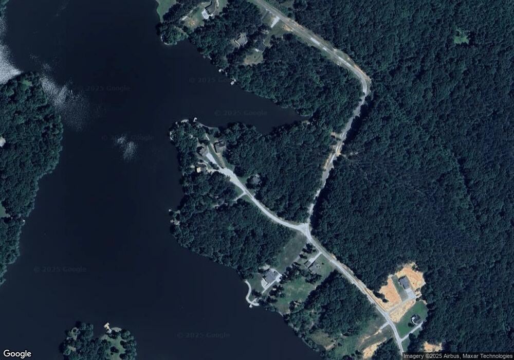
Map
Nearby Homes
- 63 Arrowhead Point
- 997 Strike King Dr
- 1023 Strike King Dr
- 983 Strike King Dr
- 400 Strike King Dr
- 0 Excalibur Trail (Lot 255 256)
- 102 Excalibur Trail
- 100 Excalibur Trail
- 239 Excalibur Trail
- 1471 Excalibur Trail
- 237 Excalibur Trail
- 191 Strike King Dr
- 139 Zara Spook Dr
- 297 Zara Spook Dr
- 234 Excalibur Trail
- 76
- 920 Strike King Dr
- 10 Arrowhead Point
- 79 Arrowhead Point
- 104 Arrowhead Point
- 95 Arrowhead Point
- 101 Arrowhead Point
- 63 Arrowhead (Lot 172 173) Point
- 45 Arrowhead Point
- 105 Arrowhead Point
- 0 Strike King Dr (Lot#197)
- 820 Strike King Dr (Lot162)
- 820 Strike King Dr
- 986 Strike King Dr
- 986 Strike King Dr (Lot#177)
- 895 Strike King Dr
- 990 Strike King Dr
- 990 Strike King Dr Unit 178
- 991 Strike King Dr
- 700 Strike King Dr