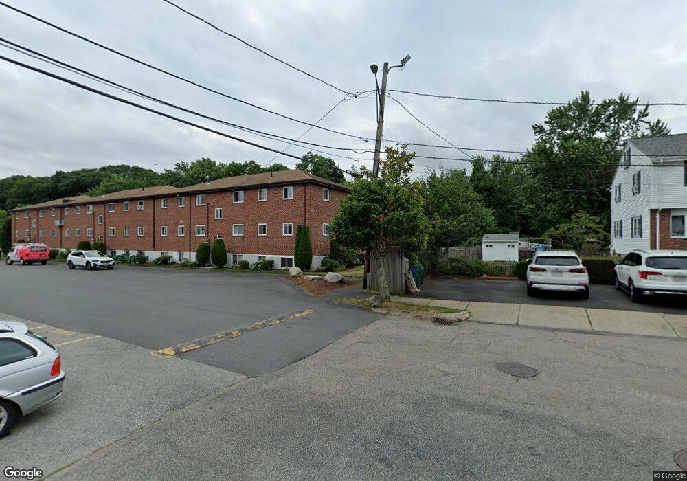
76 Bryon Rd Unit 4 Chestnut Hill, MA 02467
West Roxbury NeighborhoodEstimated Value: $395,000 - $426,000
2
Beds
1
Bath
780
Sq Ft
$531/Sq Ft
Est. Value
About This Home
This home is located at 76 Bryon Rd Unit 4, Chestnut Hill, MA 02467 and is currently estimated at $414,092, approximately $530 per square foot. 76 Bryon Rd Unit 4 is a home located in Suffolk County with nearby schools including Mount Alvernia Academy, Holy Name Parish School, and Beaver Country Day School.
Ownership History
Date
Name
Owned For
Owner Type
Purchase Details
Closed on
May 17, 2018
Sold by
Khozouee Ferial and Majzoubi Farhad
Bought by
Rezaei Shahriar and Rezaei Behnaz M
Current Estimated Value
Purchase Details
Closed on
Jul 1, 1994
Sold by
Amir A Nanaji T A and Amir Nanaji
Bought by
Khozouee Ferial and Majzoubi Farhad
Purchase Details
Closed on
Oct 8, 1993
Sold by
Roma Fred and Shearson Lehman Mtg
Bought by
Shearson Lehman Mtg
Create a Home Valuation Report for This Property
The Home Valuation Report is an in-depth analysis detailing your home's value as well as a comparison with similar homes in the area
Home Values in the Area
Average Home Value in this Area
Purchase History
| Date | Buyer | Sale Price | Title Company |
|---|---|---|---|
| Rezaei Shahriar | $150,000 | -- | |
| Khozouee Ferial | $27,000 | -- | |
| Shearson Lehman Mtg | $60,000 | -- |
Source: Public Records
Tax History Compared to Growth
Tax History
| Year | Tax Paid | Tax Assessment Tax Assessment Total Assessment is a certain percentage of the fair market value that is determined by local assessors to be the total taxable value of land and additions on the property. | Land | Improvement |
|---|---|---|---|---|
| 2025 | $4,058 | $350,400 | $0 | $350,400 |
| 2024 | $3,677 | $337,300 | $0 | $337,300 |
| 2023 | $3,516 | $327,400 | $0 | $327,400 |
| 2022 | $3,392 | $311,800 | $0 | $311,800 |
| 2021 | $3,285 | $307,900 | $0 | $307,900 |
| 2020 | $2,616 | $247,700 | $0 | $247,700 |
| 2019 | $2,440 | $231,500 | $0 | $231,500 |
| 2018 | $2,332 | $222,500 | $0 | $222,500 |
| 2017 | $2,265 | $213,900 | $0 | $213,900 |
| 2016 | $2,199 | $199,900 | $0 | $199,900 |
| 2015 | $2,427 | $200,400 | $0 | $200,400 |
| 2014 | $2,312 | $183,800 | $0 | $183,800 |
Source: Public Records
Map
Nearby Homes
- 42 Bryon Rd Unit 6
- 23 Westgate Rd Unit 6
- 21 Westgate Rd Unit 6
- 64 Bryon Rd Unit 1
- 44 Broadlawn Park Unit 22
- 57 Broadlawn Park Unit 4B
- 1206 Lagrange St Unit 1206
- 1206 Lagrange St
- 109 Harwich Rd
- 70 Pond Brook Rd
- 931 Lagrange St
- 139 Newfield St
- 14 Rolling Ln
- 65 Lagrange St
- 865 Lagrange St Unit 5
- 845 Lagrange St Unit 4
- 701 Vfw Pkwy
- 99 Baldpate Hill Rd
- 133 Oak Hill St
- 72 Wallis Rd
- 76 Bryon Rd Unit 3
- 76 Bryon Rd Unit 6,76
- 76 Bryon Rd Unit 2
- 76 Bryon Rd Unit 6
- 76 Bryon Rd Unit 5
- 74 Bryon Rd Unit 1
- 74 Bryon Rd Unit 6
- 74 Bryon Rd Unit 5
- 74 Bryon Rd Unit 4
- 68 Bryon Rd Unit 5
- 25 Westgate Rd Unit 2
- 40 Byron St Unit 2
- 40 Byron St Unit 3
- 54 Byron St Unit 5
- 32 Byron St Unit 3
- 40 Byron St Unit 6
- 36 Byron St Unit 5
- 36 Byron St Unit 6
- 62 Byron St Unit 3
- 42 Byron St Unit 3