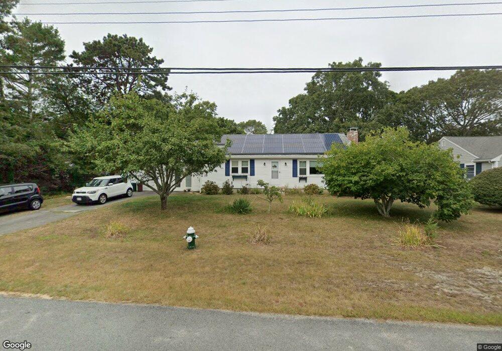
76 Captain Lothrop Rd South Yarmouth, MA 02664
Estimated Value: $563,000 - $603,000
3
Beds
1
Bath
1,201
Sq Ft
$480/Sq Ft
Est. Value
About This Home
This home is located at 76 Captain Lothrop Rd, South Yarmouth, MA 02664 and is currently estimated at $576,724, approximately $480 per square foot. 76 Captain Lothrop Rd is a home located in Barnstable County with nearby schools including Dennis-Yarmouth Regional High School and St. Pius X. School.
Ownership History
Date
Name
Owned For
Owner Type
Purchase Details
Closed on
Jun 6, 2003
Sold by
Desouza Wania Q and Desouza Galdino Q
Bought by
Mason Douglas H and Mason Tara M
Current Estimated Value
Home Financials for this Owner
Home Financials are based on the most recent Mortgage that was taken out on this home.
Original Mortgage
$256,950
Outstanding Balance
$112,964
Interest Rate
5.83%
Mortgage Type
Purchase Money Mortgage
Estimated Equity
$463,760
Purchase Details
Closed on
Sep 28, 2001
Sold by
Troy Thomas S and Campbell-Troy Cindy
Bought by
Desouza Wania Q
Home Financials for this Owner
Home Financials are based on the most recent Mortgage that was taken out on this home.
Original Mortgage
$185,250
Interest Rate
6.91%
Mortgage Type
Purchase Money Mortgage
Purchase Details
Closed on
Aug 3, 1992
Sold by
Lee Elsie J
Bought by
Troy Thomas S and Campbell-Troy Cindy
Create a Home Valuation Report for This Property
The Home Valuation Report is an in-depth analysis detailing your home's value as well as a comparison with similar homes in the area
Home Values in the Area
Average Home Value in this Area
Purchase History
| Date | Buyer | Sale Price | Title Company |
|---|---|---|---|
| Mason Douglas H | $264,900 | -- | |
| Desouza Wania Q | $195,000 | -- | |
| Troy Thomas S | $100,000 | -- |
Source: Public Records
Mortgage History
| Date | Status | Borrower | Loan Amount |
|---|---|---|---|
| Open | Troy Thomas S | $256,950 | |
| Previous Owner | Troy Thomas S | $187,500 | |
| Previous Owner | Troy Thomas S | $185,250 | |
| Previous Owner | Troy Thomas S | $22,700 |
Source: Public Records
Tax History Compared to Growth
Tax History
| Year | Tax Paid | Tax Assessment Tax Assessment Total Assessment is a certain percentage of the fair market value that is determined by local assessors to be the total taxable value of land and additions on the property. | Land | Improvement |
|---|---|---|---|---|
| 2025 | $3,534 | $499,200 | $178,500 | $320,700 |
| 2024 | $3,145 | $426,100 | $151,000 | $275,100 |
| 2023 | $3,036 | $374,300 | $130,700 | $243,600 |
| 2022 | $2,864 | $312,000 | $118,800 | $193,200 |
| 2021 | $2,696 | $282,000 | $118,800 | $163,200 |
| 2020 | $2,641 | $264,100 | $118,800 | $145,300 |
| 2019 | $2,449 | $242,500 | $118,800 | $123,700 |
| 2018 | $2,314 | $224,900 | $101,200 | $123,700 |
| 2017 | $2,209 | $220,500 | $96,800 | $123,700 |
| 2016 | $2,113 | $211,700 | $88,000 | $123,700 |
| 2015 | $2,165 | $215,600 | $88,000 | $127,600 |
Source: Public Records
Map
Nearby Homes
- 76 Captain Chase Rd
- 338 Forest Rd
- 75 Captain York Rd
- 147 Captain Bacon Rd
- 72 Quartermaster Row
- 38 Autumn Dr
- 55 Lower Brook Rd
- 255 Long Pond Dr
- 33 Sparrow Way
- 30 Quartermaster Row
- 24 Fast Brook Rd
- 105 Webbers Path
- 0 Forsyth Ave
- 9 Victory Ln
- 17 Merganser Ln
- 3 Saturn Ln
- 26 Grouse Ln
- 17 Trowbridge Path
- 10 Lake Rd E
- 80 Capt Lothrop Rd
- 80 Captain Lothrop Rd
- 70 Captain Lothrop Rd
- 35 Captain Besse Rd
- 39 Captain Besse Rd
- 2 Captain Percival Rd
- 3 Captain Percival Rd
- 86 Captain Lothrop Rd
- 66 Captain Lothrop Rd
- 3 Capt Percival Rd
- 3 Captain Daniel Rd
- 45 Capt Besse Rd
- 45 Captain Besse Rd
- 25 Captain Besse Rd
- 86 Capt Lothrop Rd
- 8 Captain Percival Rd
- 34 Captain Besse Rd
- 2 Captain Blount Rd
- 28 Captain Besse Rd
- 38 Captain Besse Rd