Estimated Value: $327,000 - $468,000
About This Home
This home is located at 76 Cummings Rd, Ware, MA 01082 and is currently estimated at $401,722, approximately $378 per square foot. 76 Cummings Rd is a home located in Hampshire County with nearby schools including Stanley M. Koziol Elementary School, Ware Middle School, and Ware Junior/Senior High School.
Ownership History
We collect this data history from publicly available records. To have your information removed, we recommend requesting removal directly through your county’s website.
Purchase Details
Home Financials for this Owner
Home Financials are based on the most recent Mortgage that was taken out on this home.Purchase Details
Home Financials for this Owner
Home Financials are based on the most recent Mortgage that was taken out on this home.Purchase Details
Home Financials for this Owner
Home Financials are based on the most recent Mortgage that was taken out on this home.Home Values in the Area
Average Home Value in this Area
Purchase History
We collect this data history from publicly available records. To have your information removed, we recommend requesting removal directly through your county’s website.
| Date | Buyer | Sale Price | Title Company |
|---|---|---|---|
| $214,900 | -- | ||
| $185,000 | -- | ||
| -- | -- |
Mortgage History
We collect this data history from publicly available records. To have your information removed, we recommend requesting removal directly through your county’s website.
| Date | Status | Borrower | Loan Amount |
|---|---|---|---|
| Open | $212,044 | ||
| Previous Owner | $180,000 | ||
| Previous Owner | $67,000 | ||
| Previous Owner | $13,000 |
Tax History
We collect this data history from publicly available records. To have your information removed, we recommend requesting removal directly through your county’s website.
| Year | Tax Paid | Tax Assessment Tax Assessment Total Assessment is a certain percentage of the fair market value that is determined by local assessors to be the total taxable value of land and additions on the property. | Land | Improvement |
|---|---|---|---|---|
| 2025 | $4,651 | $308,800 | $55,200 | $253,600 |
| 2024 | $4,473 | $273,900 | $52,000 | $221,900 |
| 2023 | $4,467 | $258,800 | $50,400 | $208,400 |
| 2022 | $4,392 | $227,100 | $46,600 | $180,500 |
| 2021 | $3,795 | $213,100 | $46,600 | $166,500 |
| 2020 | $3,671 | $204,100 | $46,600 | $157,500 |
| 2019 | $4,125 | $204,100 | $46,600 | $157,500 |
| 2018 | $3,929 | $189,700 | $45,400 | $144,300 |
| 2017 | $3,685 | $177,400 | $45,400 | $132,000 |
| 2016 | $3,585 | $177,400 | $45,400 | $132,000 |
| 2015 | $3,486 | $177,400 | $45,400 | $132,000 |
| 2014 | $3,428 | $187,200 | $47,300 | $139,900 |
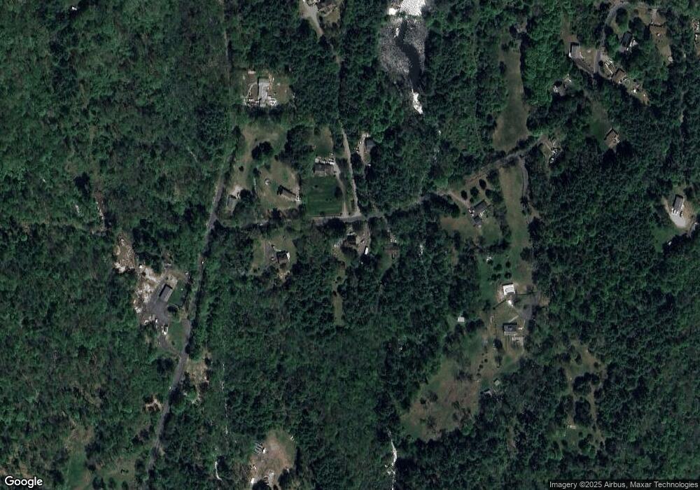
Map
- 113 Greenwich Plains Rd
- 3 Old Poor Farm Rd
- 6 Winslow Rd
- 20 Greenwich Plains Rd
- 19 Greenwich Plains Rd
- 0 Crescent St
- 2 Crescent Terrace
- 65 Old Poor Farm Rd
- 132 Eagle St
- 395 Belchertown Rd
- 136 Pleasant St
- 201 Belchertown Rd
- 19 Clinton St
- 28 Gould St
- 186 North St
- 76 Aspen St
- 267 Osborne Rd
- 22 Vigeant St
- 19 Vigeant St
- 184 West St
- 72 Cummings Rd
- 77 Cummings Rd
- 80 Cummings Rd
- 79 Cummings Rd
- 73 Cummings Rd
- 155 Greenwich Plains Rd
- 64 Cummings Rd
- 0 Greenwich Plains Rd Unit 73348950
- 0 Greenwich Plains Rd Unit 73299354
- 0 Greenwich Plains Rd Unit 73229257
- 0 Greenwich Plains Rd Unit 73113537
- 0 Greenwich Plains Rd Unit 73038857
- 215 Greenwich Plains Rd
- 109 Greenwich Plns Rd
- 109 Greenwich Plains Rd
- 60 Cummings Rd
- 84 Greenwich Plns Rd
- 84 Greenwich Plns Rd
- lot 3 Cummings Rd
- 58 Cummings Rd
Ask me questions while you tour the home.