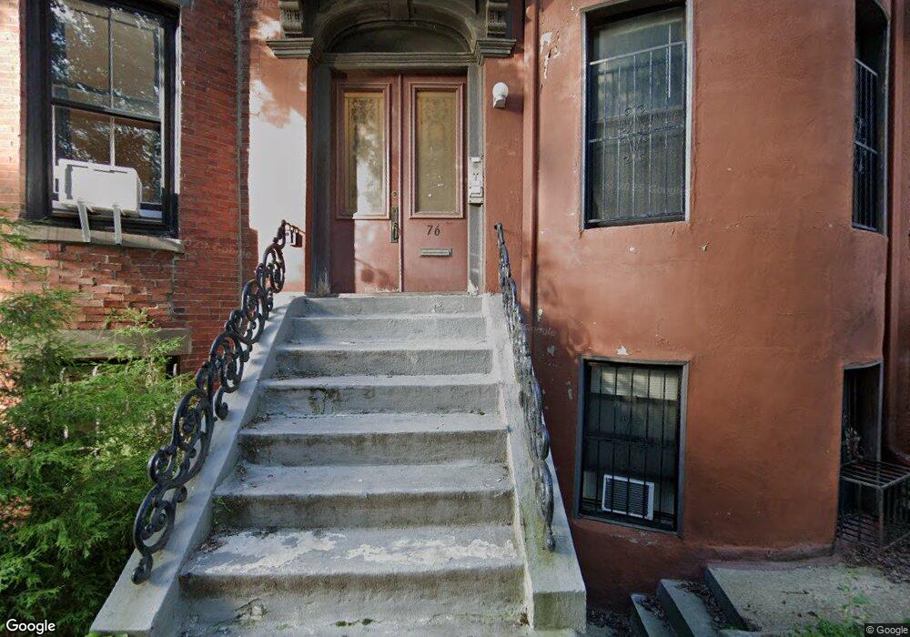
76 E Brookline St Boston, MA 02118
South End NeighborhoodEstimated Value: $2,487,000 - $2,957,000
6
Beds
4
Baths
3,211
Sq Ft
$838/Sq Ft
Est. Value
About This Home
This home is located at 76 E Brookline St, Boston, MA 02118 and is currently estimated at $2,690,333, approximately $837 per square foot. 76 E Brookline St is a home located in Suffolk County with nearby schools including Cathedral High School.
Ownership History
Date
Name
Owned For
Owner Type
Purchase Details
Closed on
Sep 2, 1992
Sold by
P L T
Bought by
Leoutsakos Peter
Current Estimated Value
Home Financials for this Owner
Home Financials are based on the most recent Mortgage that was taken out on this home.
Original Mortgage
$52,500
Interest Rate
8.09%
Mortgage Type
Commercial
Create a Home Valuation Report for This Property
The Home Valuation Report is an in-depth analysis detailing your home's value as well as a comparison with similar homes in the area
Home Values in the Area
Average Home Value in this Area
Purchase History
| Date | Buyer | Sale Price | Title Company |
|---|---|---|---|
| Leoutsakos Peter | $50,000 | -- |
Source: Public Records
Mortgage History
| Date | Status | Borrower | Loan Amount |
|---|---|---|---|
| Open | Leoutsakos Peter | $500,000 | |
| Closed | Leoutsakos Peter | $36,000 | |
| Closed | Leoutsakos Peter | $52,500 |
Source: Public Records
Tax History
| Year | Tax Paid | Tax Assessment Tax Assessment Total Assessment is a certain percentage of the fair market value that is determined by local assessors to be the total taxable value of land and additions on the property. | Land | Improvement |
|---|---|---|---|---|
| 2025 | $22,363 | $1,931,200 | $539,900 | $1,391,300 |
| 2024 | $19,726 | $1,809,700 | $619,000 | $1,190,700 |
| 2023 | $19,436 | $1,809,700 | $619,000 | $1,190,700 |
| 2022 | $19,114 | $1,756,800 | $600,900 | $1,155,900 |
| 2021 | $18,199 | $1,705,600 | $583,400 | $1,122,200 |
| 2020 | $15,305 | $1,449,300 | $605,200 | $844,100 |
| 2019 | $13,885 | $1,317,400 | $436,900 | $880,500 |
| 2018 | $12,907 | $1,231,600 | $436,900 | $794,700 |
| 2017 | $12,078 | $1,140,500 | $436,900 | $703,600 |
| 2016 | $11,513 | $1,046,600 | $436,900 | $609,700 |
| 2015 | $11,458 | $946,200 | $424,100 | $522,100 |
| 2014 | $10,628 | $844,800 | $424,100 | $420,700 |
Source: Public Records
Map
Nearby Homes
- 80 E Brookline St Unit 2
- 64 E Brookline St Unit 4
- 99 E Brookline St Unit 2
- 108 E Brookline St Unit 2
- 700 Harrison Ave Unit 311
- 595 Albany St Unit 302
- 595 Albany St Unit PH
- 595 Albany St Unit 201
- 595 Albany St Unit 501
- 34 E Newton St Unit 2
- 21 Father Francis Gilday St Unit 511
- 27 Wareham St Unit PH6
- 76 Wareham St Unit 5D
- 76 Wareham St Unit PHD
- 771 Harrison Ave Unit 410
- 28 Worcester Square Unit 3
- 22 Worcester Square Unit 1
- 21 E Concord St
- 12 Worcester Square Unit 5
- 1597 Washington St Ps98
- 76 E Brookline St Unit 3
- 76 E Brookline St Unit 2
- 76 E Brookline St Unit 1
- 82 E Brookline St Unit 84
- 82 E Brookline St Unit 84
- 82 E Brookline St Unit 84
- 82 E Brookline St Unit 84
- 82 E Brookline St Unit 84
- 82 E Brookline St Unit 1
- 82 E Brookline St Unit 4
- 82 E Brookline St
- 82 E Brookline St Unit 3
- 74 E Brookline St Unit PKG
- 74 E Brookline St Unit 1
- 74 E Brookline St
- 74 E Brookline St Unit 4
- 74 E Brookline St
- 74 E Brookline St Unit 3
- 74 E Brookline St Unit B
- 78 E Brookline St Unit 4
Your Personal Tour Guide
Ask me questions while you tour the home.