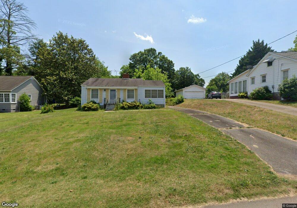
76 E Rountree Rd Toccoa, GA 30577
Estimated Value: $105,000 - $142,000
2
Beds
1
Bath
1,032
Sq Ft
$118/Sq Ft
Est. Value
About This Home
This home is located at 76 E Rountree Rd, Toccoa, GA 30577 and is currently estimated at $121,822, approximately $118 per square foot. 76 E Rountree Rd is a home located in Stephens County with nearby schools including Stephens County High School.
Ownership History
Date
Name
Owned For
Owner Type
Purchase Details
Closed on
Apr 14, 2025
Sold by
Fowler Sanders Louise
Bought by
Garner Jayson
Current Estimated Value
Home Financials for this Owner
Home Financials are based on the most recent Mortgage that was taken out on this home.
Original Mortgage
$88,000
Outstanding Balance
$87,450
Interest Rate
6.65%
Mortgage Type
FHA
Estimated Equity
$34,372
Purchase Details
Closed on
Apr 2, 2007
Sold by
Not Provided
Bought by
Sanders Louise Fowler
Create a Home Valuation Report for This Property
The Home Valuation Report is an in-depth analysis detailing your home's value as well as a comparison with similar homes in the area
Purchase History
| Date | Buyer | Sale Price | Title Company |
|---|---|---|---|
| Garner Jayson | $110,000 | -- | |
| Sanders Louise Fowler | -- | -- | |
| Sanders Louise Fowler | -- | -- |
Source: Public Records
Mortgage History
| Date | Status | Borrower | Loan Amount |
|---|---|---|---|
| Open | Garner Jayson | $88,000 |
Source: Public Records
Tax History
| Year | Tax Paid | Tax Assessment Tax Assessment Total Assessment is a certain percentage of the fair market value that is determined by local assessors to be the total taxable value of land and additions on the property. | Land | Improvement |
|---|---|---|---|---|
| 2025 | $1,080 | $36,359 | $5,459 | $30,900 |
| 2024 | $903 | $25,341 | $5,459 | $19,882 |
| 2023 | $133 | $23,809 | $5,459 | $18,350 |
| 2022 | $677 | $22,741 | $5,459 | $17,282 |
| 2021 | $777 | $20,859 | $5,459 | $15,400 |
| 2020 | $803 | $21,385 | $5,459 | $15,926 |
| 2019 | $806 | $21,385 | $5,459 | $15,926 |
| 2018 | $0 | $21,385 | $5,459 | $15,926 |
| 2017 | $0 | $21,385 | $5,459 | $15,926 |
| 2016 | $0 | $21,384 | $5,459 | $15,925 |
| 2015 | -- | $21,339 | $5,459 | $15,880 |
| 2014 | -- | $21,739 | $5,459 | $16,280 |
| 2013 | -- | $21,739 | $5,459 | $16,280 |
Source: Public Records
Map
Nearby Homes
- 43 Sycamore Dr
- 297 Ayers Creek Dr
- 327 Ayers Creek Dr
- 110 Valley Rd
- 0 Stephen Dr Unit 10662201
- 0 Brookhaven Cir Unit 10616964
- 122 King St
- 229 Hilltop Ln
- 926 Skyline Dr
- 189 Julia Ln
- 321 Quail Forest Cir
- 253 Stancil Dr
- 475 Hilltop Way
- 372 Hilltop Way
- 27 Hilltop Ln
- 820 Collier Rd
- 0 Valley Dr Unit 7675761
- 0 Valley Dr Unit 10600268
- 0 Hwy 17 Alt Unit 10577119
- 104-110 White Pine Rd
- 72 E Rountree Rd
- 98 E Rountree Rd
- 44 E Rountree Rd
- 75 E Rountree Rd
- 122 E Rountree Rd
- 61 E Rountree Rd Unit 52
- 61 E Rountree Rd
- 107 Terrell Dr
- 107 Terrell Dr
- 113 Terrell Dr
- 57 E Rountree Rd
- 109 E Rountree Rd
- 34 E Rountree Rd
- 122 Roundtree Rd E
- E Rountree Rd
- 43 E Rountree Rd
- 145 Terrell Dr
- 146 E Rountree Rd
- 117 Bellvue Dr
- 0 Foothill Rd Unit 8274784
Your Personal Tour Guide
Ask me questions while you tour the home.