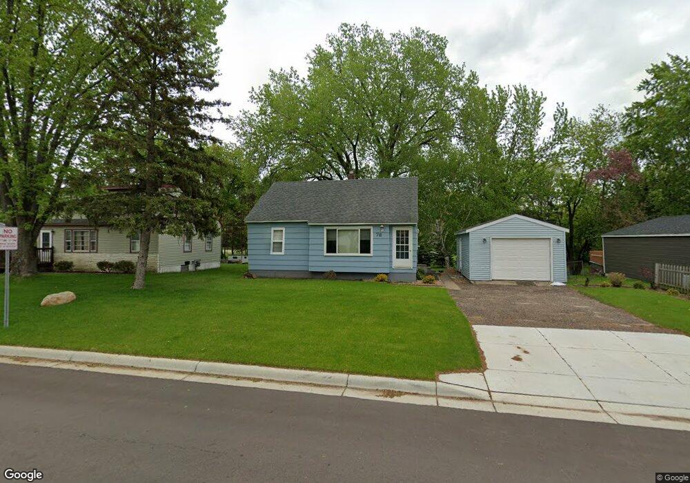
76 East Rd Circle Pines, MN 55014
Estimated Value: $258,499 - $270,000
2
Beds
1
Bath
920
Sq Ft
$288/Sq Ft
Est. Value
About This Home
This home is located at 76 East Rd, Circle Pines, MN 55014 and is currently estimated at $264,875, approximately $287 per square foot. 76 East Rd is a home located in Anoka County with nearby schools including Centennial Elementary School, Centennial Middle School, and Centennial High School.
Ownership History
Date
Name
Owned For
Owner Type
Purchase Details
Closed on
Mar 18, 2022
Sold by
The Estate Of Cheryl A Pearson
Bought by
Neogi Kaustav and Neogi Nina
Current Estimated Value
Home Financials for this Owner
Home Financials are based on the most recent Mortgage that was taken out on this home.
Original Mortgage
$229,000
Outstanding Balance
$213,048
Interest Rate
3.55%
Mortgage Type
New Conventional
Estimated Equity
$51,827
Purchase Details
Closed on
Jun 15, 1999
Sold by
Knipe Mischelle M
Bought by
Pearson Cheryl A
Create a Home Valuation Report for This Property
The Home Valuation Report is an in-depth analysis detailing your home's value as well as a comparison with similar homes in the area
Home Values in the Area
Average Home Value in this Area
Purchase History
| Date | Buyer | Sale Price | Title Company |
|---|---|---|---|
| Neogi Kaustav | $231,000 | -- | |
| Pearson Cheryl A | $95,100 | -- |
Source: Public Records
Mortgage History
| Date | Status | Borrower | Loan Amount |
|---|---|---|---|
| Open | Neogi Kaustav | $229,000 |
Source: Public Records
Tax History Compared to Growth
Tax History
| Year | Tax Paid | Tax Assessment Tax Assessment Total Assessment is a certain percentage of the fair market value that is determined by local assessors to be the total taxable value of land and additions on the property. | Land | Improvement |
|---|---|---|---|---|
| 2025 | $2,973 | $245,100 | $110,000 | $135,100 |
| 2024 | $2,973 | $232,200 | $95,000 | $137,200 |
| 2023 | $2,878 | $242,900 | $98,200 | $144,700 |
| 2022 | $3,232 | $251,100 | $82,000 | $169,100 |
| 2021 | $3,442 | $202,200 | $64,400 | $137,800 |
| 2020 | $3,207 | $192,300 | $64,400 | $127,900 |
| 2019 | $3,013 | $188,700 | $61,300 | $127,400 |
| 2018 | $2,228 | $167,500 | $0 | $0 |
| 2017 | $1,788 | $158,000 | $0 | $0 |
| 2016 | $2,627 | $131,800 | $0 | $0 |
| 2015 | $2,275 | $131,800 | $47,000 | $84,800 |
| 2014 | -- | $118,600 | $44,800 | $73,800 |
Source: Public Records
Map
Nearby Homes
- 114 South Dr Unit D
- 105 South Dr Unit D
- 100 South Dr Unit E
- 104 South Dr
- 3 Golden Oak Dr
- 9 Oak Leaf Ln
- 6924 Lakeview Dr
- 230 Aurora Ln
- 4743 104th Ave NE
- 4660 104th Ln NE
- 7009 Sunrise Dr
- 253 Stardust Blvd
- 10622 Marmon St NE
- 4185 Austin St NE
- 319 Heritage Trail Unit 512
- 324 Heritage Trail
- 310 Heritage Trail
- 343 Heritage Trail
- 306 Heritage Trail
- 56 W Golden Lake Rd