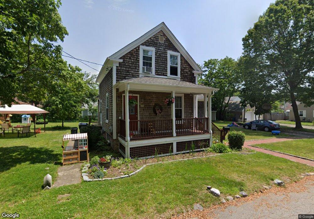
76 Grove Ave Cranston, RI 02910
Eden Park NeighborhoodEstimated Value: $354,000 - $471,000
3
Beds
1
Bath
1,400
Sq Ft
$283/Sq Ft
Est. Value
About This Home
This home is located at 76 Grove Ave, Cranston, RI 02910 and is currently estimated at $395,532, approximately $282 per square foot. 76 Grove Ave is a home located in Providence County with nearby schools including Park View Middle School, Cranston High School East, and Cadence Academy Preschool - Cranston.
Ownership History
Date
Name
Owned For
Owner Type
Purchase Details
Closed on
Jun 2, 2008
Sold by
Baumganted Timothy
Bought by
Baumgartel Sura
Current Estimated Value
Home Financials for this Owner
Home Financials are based on the most recent Mortgage that was taken out on this home.
Original Mortgage
$162,000
Outstanding Balance
$102,755
Interest Rate
5.91%
Mortgage Type
Purchase Money Mortgage
Estimated Equity
$292,777
Purchase Details
Closed on
Nov 14, 1990
Sold by
Simons Mortimer
Bought by
Lyons Claudia A
Home Financials for this Owner
Home Financials are based on the most recent Mortgage that was taken out on this home.
Original Mortgage
$78,800
Interest Rate
10.03%
Create a Home Valuation Report for This Property
The Home Valuation Report is an in-depth analysis detailing your home's value as well as a comparison with similar homes in the area
Home Values in the Area
Average Home Value in this Area
Purchase History
| Date | Buyer | Sale Price | Title Company |
|---|---|---|---|
| Baumgartel Sura | $215,000 | -- | |
| Lyons Claudia A | $83,000 | -- |
Source: Public Records
Mortgage History
| Date | Status | Borrower | Loan Amount |
|---|---|---|---|
| Open | Lyons Claudia A | $162,000 | |
| Previous Owner | Lyons Claudia A | $10,000 | |
| Previous Owner | Lyons Claudia A | $78,800 |
Source: Public Records
Tax History
| Year | Tax Paid | Tax Assessment Tax Assessment Total Assessment is a certain percentage of the fair market value that is determined by local assessors to be the total taxable value of land and additions on the property. | Land | Improvement |
|---|---|---|---|---|
| 2025 | $4,424 | $318,700 | $128,000 | $190,700 |
| 2024 | $4,338 | $318,700 | $128,000 | $190,700 |
| 2023 | $4,235 | $224,100 | $84,200 | $139,900 |
| 2022 | $4,148 | $224,100 | $84,200 | $139,900 |
| 2021 | $4,034 | $224,100 | $84,200 | $139,900 |
| 2020 | $3,971 | $191,200 | $80,200 | $111,000 |
| 2019 | $3,971 | $191,200 | $80,200 | $111,000 |
| 2018 | $3,879 | $191,200 | $80,200 | $111,000 |
| 2017 | $3,785 | $165,000 | $72,200 | $92,800 |
| 2016 | $3,704 | $165,000 | $72,200 | $92,800 |
| 2015 | $3,704 | $165,000 | $72,200 | $92,800 |
| 2014 | $3,609 | $158,000 | $72,200 | $85,800 |
Source: Public Records
Map
Nearby Homes
- 167 Forest Ave
- 103 Harper Ave
- 33 Hemlock Ave
- 64 Holburn Ave
- 10 Dale Ave
- 150 Riverside Ave
- 10 Woburn St
- 859 Pontiac Ave
- 105 Fordson Ave
- 80 Colonial Ave
- 144 Laurens St
- 123 Harrington Ave
- 25 Sharon St Unit 2
- 0 Elmwood Ave
- 129 1st Ave
- 124 Clarence St
- 181 Grace St
- 84 Intervale Rd
- 24 Elm Cir
- 35 Welfare Ave
Your Personal Tour Guide
Ask me questions while you tour the home.