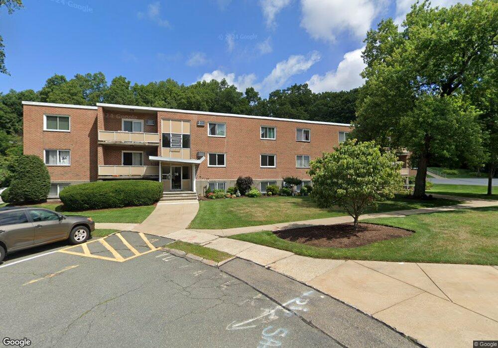
76 Lionel Ave Unit D Waltham, MA 02452
North Waltham NeighborhoodEstimated Value: $395,009 - $512,000
2
Beds
1
Bath
780
Sq Ft
$564/Sq Ft
Est. Value
About This Home
This home is located at 76 Lionel Ave Unit D, Waltham, MA 02452 and is currently estimated at $439,752, approximately $563 per square foot. 76 Lionel Ave Unit D is a home located in Middlesex County with nearby schools including Northeast Elementary School, John F Kennedy Middle School, and Waltham Sr High School.
Ownership History
Date
Name
Owned For
Owner Type
Purchase Details
Closed on
Dec 8, 1997
Sold by
Somers Craig N and Somers David
Bought by
Minassian Sarkis S
Current Estimated Value
Home Financials for this Owner
Home Financials are based on the most recent Mortgage that was taken out on this home.
Original Mortgage
$76,000
Outstanding Balance
$12,914
Interest Rate
7.28%
Mortgage Type
Purchase Money Mortgage
Estimated Equity
$426,838
Create a Home Valuation Report for This Property
The Home Valuation Report is an in-depth analysis detailing your home's value as well as a comparison with similar homes in the area
Home Values in the Area
Average Home Value in this Area
Purchase History
| Date | Buyer | Sale Price | Title Company |
|---|---|---|---|
| Minassian Sarkis S | $95,000 | -- |
Source: Public Records
Mortgage History
| Date | Status | Borrower | Loan Amount |
|---|---|---|---|
| Open | Minassian Sarkis S | $76,000 |
Source: Public Records
Tax History Compared to Growth
Tax History
| Year | Tax Paid | Tax Assessment Tax Assessment Total Assessment is a certain percentage of the fair market value that is determined by local assessors to be the total taxable value of land and additions on the property. | Land | Improvement |
|---|---|---|---|---|
| 2025 | $3,573 | $363,900 | $0 | $363,900 |
| 2024 | $3,465 | $359,400 | $0 | $359,400 |
| 2023 | $3,493 | $338,500 | $0 | $338,500 |
| 2022 | $3,732 | $335,000 | $0 | $335,000 |
| 2021 | $3,545 | $313,200 | $0 | $313,200 |
| 2020 | $3,605 | $301,700 | $0 | $301,700 |
| 2019 | $3,238 | $255,800 | $0 | $255,800 |
| 2018 | $2,943 | $233,400 | $0 | $233,400 |
| 2017 | $2,734 | $217,700 | $0 | $217,700 |
| 2016 | $2,665 | $217,700 | $0 | $217,700 |
| 2015 | $2,323 | $176,900 | $0 | $176,900 |
Source: Public Records
Map
Nearby Homes
- 41 Lionel Ave Unit F
- 30 Jacqueline Rd Unit C
- 107 Clocktower Dr Unit 3302
- 170 Clocktower Dr Unit 5103
- 87 Clocktower Dr Unit 2207
- 750 Trapelo Rd
- 1105 Lexington St Unit 102
- 30 Wampum Ave
- 129 Lake St
- 14 Piedmont Ave
- 28 College Farm Rd Unit 2
- 55 Circle Dr
- 65 Woburn St
- 23 Wight St
- 155 Marguerite Ave
- 65 Montclair Ave
- 44 Sachem St
- 600 Trapelo Rd Unit 1
- 116 Raffaele Dr
- 234 Lake St
- 76 Lionel Ave Unit F
- 76 Lionel Ave Unit C
- 76 Lionel Ave Unit A
- 82 Lionel Ave Unit F
- 82 Lionel Ave Unit E
- 82 Lionel Ave Unit D
- 82 Lionel Ave Unit C
- 82 Lionel Ave Unit A
- 76 Lionel Ave Unit d,76
- 76 Lionel Ave Unit C
- 81 Lionel Ave Unit UF
- 85 Lionel Ave Unit F
- 85 Lionel Ave Unit E
- 85 Lionel Ave Unit D
- 85 Lionel Ave Unit C
- 85 Lionel Ave Unit A
- 81 Lionel Ave Unit F
- 81 Lionel Ave Unit E
- 81 Lionel Ave Unit D
- 81 Lionel Ave Unit C