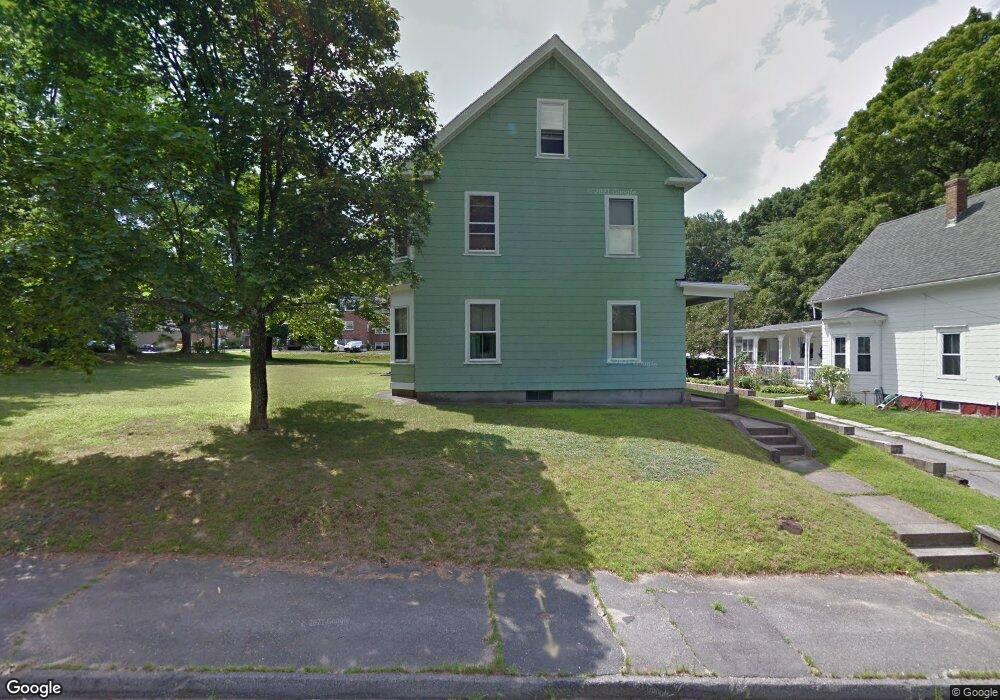
76 Locust Ave Worcester, MA 01604
Lake Park NeighborhoodEstimated Value: $530,353 - $635,000
6
Beds
2
Baths
2,402
Sq Ft
$248/Sq Ft
Est. Value
About This Home
This home is located at 76 Locust Ave, Worcester, MA 01604 and is currently estimated at $595,838, approximately $248 per square foot. 76 Locust Ave is a home located in Worcester County with nearby schools including Jacob Hiatt Magnet School, Chandler Magnet, and Lake View Elementary School.
Ownership History
Date
Name
Owned For
Owner Type
Purchase Details
Closed on
Sep 25, 2015
Sold by
Bello Patricia A
Bought by
Peterson Gina M and Peterson Jared M
Current Estimated Value
Purchase Details
Closed on
Nov 25, 2009
Sold by
Bello Felix A
Bought by
Bello Patricia A
Create a Home Valuation Report for This Property
The Home Valuation Report is an in-depth analysis detailing your home's value as well as a comparison with similar homes in the area
Home Values in the Area
Average Home Value in this Area
Purchase History
| Date | Buyer | Sale Price | Title Company |
|---|---|---|---|
| Peterson Gina M | -- | -- | |
| Bello Patricia A | -- | -- |
Source: Public Records
Tax History
| Year | Tax Paid | Tax Assessment Tax Assessment Total Assessment is a certain percentage of the fair market value that is determined by local assessors to be the total taxable value of land and additions on the property. | Land | Improvement |
|---|---|---|---|---|
| 2025 | $6,596 | $500,100 | $119,200 | $380,900 |
| 2024 | $6,332 | $460,500 | $119,200 | $341,300 |
| 2023 | $5,920 | $412,800 | $103,600 | $309,200 |
| 2022 | $5,707 | $375,200 | $82,900 | $292,300 |
| 2021 | $5,058 | $310,700 | $66,300 | $244,400 |
| 2020 | $4,752 | $279,500 | $66,200 | $213,300 |
| 2019 | $4,905 | $272,500 | $59,800 | $212,700 |
| 2018 | $4,805 | $254,100 | $59,800 | $194,300 |
| 2017 | $4,557 | $237,100 | $59,800 | $177,300 |
| 2016 | $4,501 | $218,400 | $44,900 | $173,500 |
| 2015 | $4,383 | $218,400 | $44,900 | $173,500 |
| 2014 | $4,135 | $211,600 | $44,900 | $166,700 |
Source: Public Records
Map
Nearby Homes
- 51 Alvarado Ave Unit 204
- 28 Nonquit St
- 65 Lake Ave Unit 1008
- 65 Lake Ave Unit 510
- 241 Lake Ave
- 35 Dustin St
- 12 Brookside Place
- 70 S Quinsigamond Ave Unit 5
- 293 Harrington Way
- 496 Hamilton St
- 105 S Quinsigamond Ave
- 73 S Quinsigamond Ave
- 360 Hamilton St
- 19 Middlesex Ave
- Lot B Crawford St
- 60 Shrewsbury Green Dr Unit B
- 18 Shrewsbury Green Dr Unit I
- 44 Shrewsbury Green Dr Unit B
- 42 Shrewsbury Green Dr Unit I
- 190 S Quinsigamond Ave Unit 102
- 74 Locust Ave
- 84 Locust Ave
- 75 Locust Ave
- 73 Locust Ave
- 86 Locust Ave
- 79 Locust Ave
- 71 Locust Ave
- 71 Locust Ave Unit 1
- 88 Locust Ave
- 69 Locust Ave
- 1 Any Town
- 85 Locust Ave
- 84 Alvarado Ave
- 90 Alvarado Ave
- 82 Alvarado Ave
- 96 Alvarado Ave
- 96 Alvarado Ave Unit 2
- 96 Alvarado Ave Unit 1
- 4 Lake View St
- 90 Locust Ave
Your Personal Tour Guide
Ask me questions while you tour the home.