76 Madigan Point Rd Weston, ME 04424
Estimated Value: $75,000 - $422,857
--
Bed
--
Bath
416
Sq Ft
$708/Sq Ft
Est. Value
About This Home
This home is located at 76 Madigan Point Rd, Weston, ME 04424 and is currently estimated at $294,619, approximately $708 per square foot. 76 Madigan Point Rd is a home with nearby schools including East Grand School.
Ownership History
Date
Name
Owned For
Owner Type
Purchase Details
Closed on
Aug 7, 2025
Sold by
Obrien Andrew J
Bought by
Obrien Patrick M and Sullivan Elizabeth H
Current Estimated Value
Purchase Details
Closed on
May 31, 2025
Sold by
Obrien Patrick M and Sullivan Elizabeth A
Bought by
Obrien Andrew J
Purchase Details
Closed on
May 30, 2025
Sold by
Madigan Ann C
Bought by
Obrien Andrew J
Create a Home Valuation Report for This Property
The Home Valuation Report is an in-depth analysis detailing your home's value as well as a comparison with similar homes in the area
Home Values in the Area
Average Home Value in this Area
Purchase History
| Date | Buyer | Sale Price | Title Company |
|---|---|---|---|
| Obrien Patrick M | -- | -- | |
| Obrien Patrick M | -- | -- | |
| Obrien Andrew J | -- | -- | |
| Obrien Andrew J | -- | -- | |
| Obrien Andrew J | $90,000 | -- | |
| Obrien Andrew J | $90,000 | -- |
Source: Public Records
Tax History Compared to Growth
Tax History
| Year | Tax Paid | Tax Assessment Tax Assessment Total Assessment is a certain percentage of the fair market value that is determined by local assessors to be the total taxable value of land and additions on the property. | Land | Improvement |
|---|---|---|---|---|
| 2024 | $6,729 | $384,500 | $287,700 | $96,800 |
| 2023 | $5,609 | $320,500 | $239,700 | $80,800 |
| 2022 | $5,711 | $291,400 | $217,900 | $73,500 |
| 2021 | $5,566 | $291,400 | $217,900 | $73,500 |
| 2020 | $5,391 | $291,400 | $217,900 | $73,500 |
| 2019 | $5,333 | $291,400 | $217,900 | $73,500 |
| 2018 | $1,595 | $291,400 | $217,900 | $73,500 |
| 2017 | $5,100 | $291,400 | $217,900 | $73,500 |
| 2016 | $5,027 | $291,400 | $217,900 | $73,500 |
| 2015 | $5,129 | $291,400 | $217,900 | $73,500 |
| 2014 | $4,254 | $291,400 | $217,900 | $73,500 |
| 2013 | $4,768 | $264,900 | $211,500 | $53,400 |
Source: Public Records
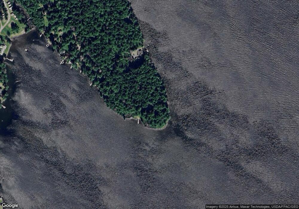
Map
Nearby Homes
- 32 S Nagle Ln
- 509 Woodland Ridge Rd
- 1058 U S 1
- 81 Randall Dr
- 18 Bass Ln
- Lot 2 Woodland Ridge Rd
- Lot 1 Woodland Ridge Rd
- 0 Woodland Ridge Rd Unit 35 24449234
- 98 Bancroft Rd
- 38 Bancroft Rd
- Lot 10.3 Harris Hill Rd
- M26L11.2 Boulder Rd
- 358 Springfield Rd
- 39 Pratt Ln
- 69 Deering Lake Rd
- 52 Irish Settlement Rd
- 178 Irish Settlement Rd
- Lot 6 Woodland Ridge Rd
- Lot 5 Woodland Ridge Rd
- Lot 3 Woodland Ridge Rd
- 53 Madigan Point Rd
- 37 Madigan Point
- 43 Madigan Point Rd
- 39 Madigan Point Rd
- 41 Madigan Point Rd
- 35 Madigan Point Rd
- 817 Chadwick Point Rd
- 118A Butterfield Landing Rd
- 118 Butterfield Landing Rd
- 118 Butterfield Landing Ln
- 12 Schoodic Ln
- 112 Butterfield Landing Rd
- 120 Butterfield Landing
- 120 Butterfield Landing Rd
- 6 Waterfront Dr
- 130 Butterfield Landing Rd
- 39 Living Water Rd
- 136 Butterfield Landing Rd
- 172 Butterfield Landing Rd
- 803 Chadwick Point