76 Moose Brook Rd Southampton, MA 01073
Estimated Value: $454,000 - $615,000
3
Beds
2
Baths
1,754
Sq Ft
$314/Sq Ft
Est. Value
About This Home
This home is located at 76 Moose Brook Rd, Southampton, MA 01073 and is currently estimated at $550,999, approximately $314 per square foot. 76 Moose Brook Rd is a home with nearby schools including William E Norris School, White Oak School, and Westfield Christian Academy.
Ownership History
Date
Name
Owned For
Owner Type
Purchase Details
Closed on
May 30, 2013
Sold by
Seney Timothy J
Bought by
Ruscio Nancy A and Sauve Michelle L
Current Estimated Value
Home Financials for this Owner
Home Financials are based on the most recent Mortgage that was taken out on this home.
Original Mortgage
$288,000
Outstanding Balance
$64,508
Interest Rate
3.45%
Mortgage Type
New Conventional
Estimated Equity
$486,491
Purchase Details
Closed on
Jul 20, 2012
Sold by
Strycharz Ft
Bought by
Seney Timothy J
Home Financials for this Owner
Home Financials are based on the most recent Mortgage that was taken out on this home.
Original Mortgage
$100,000
Interest Rate
3.7%
Mortgage Type
New Conventional
Create a Home Valuation Report for This Property
The Home Valuation Report is an in-depth analysis detailing your home's value as well as a comparison with similar homes in the area
Home Values in the Area
Average Home Value in this Area
Purchase History
| Date | Buyer | Sale Price | Title Company |
|---|---|---|---|
| Ruscio Nancy A | $360,000 | -- | |
| Seney Timothy J | $105,000 | -- |
Source: Public Records
Mortgage History
| Date | Status | Borrower | Loan Amount |
|---|---|---|---|
| Open | Ruscio Nancy A | $288,000 | |
| Previous Owner | Seney Timothy J | $100,000 |
Source: Public Records
Tax History Compared to Growth
Tax History
| Year | Tax Paid | Tax Assessment Tax Assessment Total Assessment is a certain percentage of the fair market value that is determined by local assessors to be the total taxable value of land and additions on the property. | Land | Improvement |
|---|---|---|---|---|
| 2025 | $6,717 | $474,000 | $96,400 | $377,600 |
| 2024 | $6,507 | $456,600 | $96,400 | $360,200 |
| 2023 | $6,011 | $419,500 | $96,400 | $323,100 |
| 2022 | $5,910 | $392,200 | $87,600 | $304,600 |
| 2021 | $5,711 | $357,600 | $80,800 | $276,800 |
| 2020 | $5,551 | $350,900 | $80,800 | $270,100 |
| 2019 | $5,363 | $328,800 | $80,800 | $248,000 |
| 2018 | $5,049 | $302,000 | $72,800 | $229,200 |
| 2017 | $4,929 | $302,000 | $72,800 | $229,200 |
| 2015 | $5,071 | $322,800 | $89,200 | $233,600 |
Source: Public Records
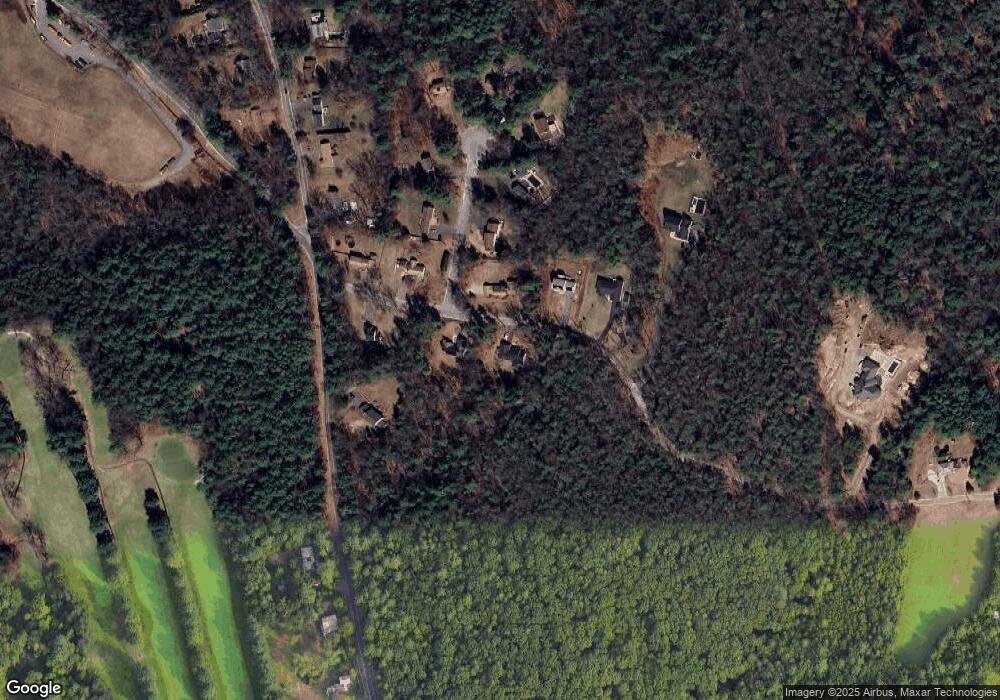
Map
Nearby Homes
- 369 College Hwy
- Lot 57 White Loaf Rd
- 119 Brickyard Rd
- Lot 5 Brickyard Rd
- 36 County Rd
- 4 Fitch Farm Way
- Lot 5 Gil Farm Rd
- Lot 6 Gil Farm Rd
- 150 Middle Rd
- 216 College Hwy
- 94 Pequot Rd (Rear)
- 14 Eastwood Dr
- 22 Eastwood Ln
- 405 Rock Valley Rd
- 64 Old Stage Rd
- 56 Pomeroy St
- 36 Line St
- 59 Campbell Dr
- 103 Dupuis Rd
- 22 Phelps St
- 74 Moose Brook Rd
- 73 Moose Brook Rd
- 73 Moose Brook Rd Unit 1
- 75 Moose Brook Rd
- 4 Cheryl Ln
- 77 Moose Brook Rd
- 69 Moose Brook Rd
- 70 Moose Brook Rd
- 79 Strong Rd
- 3 Cheryl Ln
- 6 Cheryl Ln
- 67 Moose Brook Rd
- 79 Moose Brook Rd
- 5 Cheryl Ln
- 73 Strong Rd
- 8 Cheryl Ln
- 71 Strong Rd
- 10 Cheryl Ln
- 7 Cheryl Ln
- Lot C Strong Rd