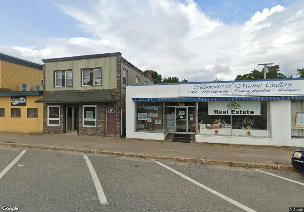
76 Penobscot Ave Millinocket, ME 04462
Estimated Value: $99,000 - $161,000
Studio
--
Bath
2,024
Sq Ft
$61/Sq Ft
Est. Value
About This Home
This home is located at 76 Penobscot Ave, Millinocket, ME 04462 and is currently estimated at $122,955, approximately $60 per square foot. 76 Penobscot Ave is a home located in Penobscot County with nearby schools including Granite Street School and Stearns Junior/Senior High School.
Ownership History
Date
Name
Owned For
Owner Type
Purchase Details
Closed on
Jul 16, 2025
Sold by
Widen Andrew
Bought by
Andrew J Widen Ret and Widen
Current Estimated Value
Purchase Details
Closed on
Feb 28, 2013
Sold by
Lin Yan F
Bought by
Widen Andrew
Purchase Details
Closed on
Mar 14, 2006
Sold by
Ann Maureen Realty Llc
Bought by
Lin Yan F
Create a Home Valuation Report for This Property
The Home Valuation Report is an in-depth analysis detailing your home's value as well as a comparison with similar homes in the area
Home Values in the Area
Average Home Value in this Area
Purchase History
| Date | Buyer | Sale Price | Title Company |
|---|---|---|---|
| Andrew J Widen Ret | -- | -- | |
| Andrew J Widen Ret | -- | -- | |
| Widen Andrew | -- | -- | |
| Widen Andrew | -- | -- | |
| Lin Yan F | -- | -- | |
| Lin Yan F | -- | -- |
Source: Public Records
Tax History
| Year | Tax Paid | Tax Assessment Tax Assessment Total Assessment is a certain percentage of the fair market value that is determined by local assessors to be the total taxable value of land and additions on the property. | Land | Improvement |
|---|---|---|---|---|
| 2025 | $1,955 | $85,000 | $4,500 | $80,500 |
| 2024 | $1,976 | $71,600 | $2,200 | $69,400 |
| 2023 | $1,627 | $57,700 | $2,200 | $55,500 |
| 2022 | $1,513 | $51,300 | $2,200 | $49,100 |
| 2021 | $1,521 | $46,800 | $2,200 | $44,600 |
| 2020 | $1,506 | $44,300 | $2,200 | $42,100 |
| 2019 | $1,462 | $44,300 | $2,200 | $42,100 |
| 2018 | $1,440 | $44,300 | $2,200 | $42,100 |
| 2017 | $1,431 | $44,300 | $2,200 | $42,100 |
| 2016 | $1,387 | $44,300 | $2,200 | $42,100 |
| 2015 | $1,314 | $44,300 | $2,200 | $42,100 |
| 2014 | $1,311 | $44,300 | $2,200 | $42,100 |
Source: Public Records
Map
Nearby Homes
- 70 Penobscot Ave
- 78 Penobscot Ave
- 57 Penobscot Ave
- 80 Penobscot Ave
- 53 Penobscot Ave
- 52 Pine St
- 99 Penobscot Ave
- 98 Penobscot Ave
- 51 Pine Point
- 35 Pine Point
- 33 Pine Point
- 102 Penobscot Ave
- 116 Aroostook Ave
- 39 Penobscot Ave
- 41 Penobscot Ave
- 75 Pine St
- 116 Penobscot Ave
- 88 Pine St
- 96 Aroostook Ave
- 33 Penobscot Ave
Your Personal Tour Guide
Ask me questions while you tour the home.