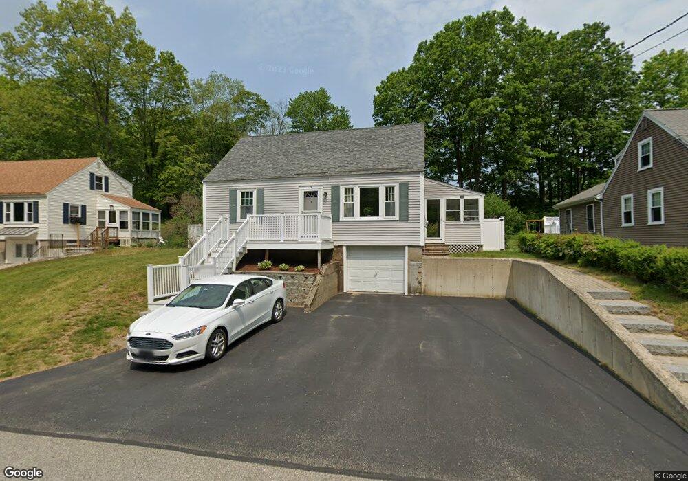
76 Pine St Rollinsford, NH 03869
Estimated Value: $333,000 - $497,000
3
Beds
2
Baths
2,175
Sq Ft
$189/Sq Ft
Est. Value
About This Home
This home is located at 76 Pine St, Rollinsford, NH 03869 and is currently estimated at $411,937, approximately $189 per square foot. 76 Pine St is a home located in Strafford County with nearby schools including Rollinsford Grade School, Berwick Academy, and Seacoast Christian School.
Ownership History
Date
Name
Owned For
Owner Type
Purchase Details
Closed on
Aug 29, 2024
Sold by
Garvin Jon R
Bought by
Flying Landlord Llc
Current Estimated Value
Purchase Details
Closed on
Mar 18, 2013
Sold by
Garvin Lisa M
Bought by
Garvin Jon R
Create a Home Valuation Report for This Property
The Home Valuation Report is an in-depth analysis detailing your home's value as well as a comparison with similar homes in the area
Home Values in the Area
Average Home Value in this Area
Purchase History
| Date | Buyer | Sale Price | Title Company |
|---|---|---|---|
| Flying Landlord Llc | $314,200 | None Available | |
| Garvin Jon R | -- | -- | |
| Garvin Jon R | -- | -- |
Source: Public Records
Mortgage History
| Date | Status | Borrower | Loan Amount |
|---|---|---|---|
| Previous Owner | Garvin Jon R | $188,900 |
Source: Public Records
Tax History Compared to Growth
Tax History
| Year | Tax Paid | Tax Assessment Tax Assessment Total Assessment is a certain percentage of the fair market value that is determined by local assessors to be the total taxable value of land and additions on the property. | Land | Improvement |
|---|---|---|---|---|
| 2024 | $6,431 | $391,900 | $160,100 | $231,800 |
| 2023 | $6,027 | $391,900 | $160,100 | $231,800 |
| 2022 | $5,828 | $391,900 | $160,100 | $231,800 |
| 2021 | $5,898 | $241,900 | $93,100 | $148,800 |
| 2020 | $5,970 | $241,900 | $93,100 | $148,800 |
| 2019 | $5,469 | $241,900 | $93,100 | $148,800 |
| 2018 | $5,839 | $241,900 | $93,100 | $148,800 |
| 2016 | $5,266 | $188,200 | $51,800 | $136,400 |
| 2015 | $5,162 | $188,200 | $51,800 | $136,400 |
| 2014 | $4,987 | $188,200 | $51,800 | $136,400 |
| 2013 | $5,059 | $188,200 | $51,800 | $136,400 |
Source: Public Records
Map
Nearby Homes