76 Route 37 S Sherman, CT 06784
Estimated Value: $927,000 - $1,159,000
5
Beds
4
Baths
3,124
Sq Ft
$342/Sq Ft
Est. Value
About This Home
This home is located at 76 Route 37 S, Sherman, CT 06784 and is currently estimated at $1,068,157, approximately $341 per square foot. 76 Route 37 S is a home located in Fairfield County with nearby schools including Sherman School.
Ownership History
Date
Name
Owned For
Owner Type
Purchase Details
Closed on
Aug 29, 2007
Sold by
Bliss T Stevens and Reed Roberta J
Bought by
Swan Christopher and Laviano-Swan Jennifer
Current Estimated Value
Home Financials for this Owner
Home Financials are based on the most recent Mortgage that was taken out on this home.
Original Mortgage
$650,000
Outstanding Balance
$412,598
Interest Rate
6.71%
Estimated Equity
$655,559
Create a Home Valuation Report for This Property
The Home Valuation Report is an in-depth analysis detailing your home's value as well as a comparison with similar homes in the area
Home Values in the Area
Average Home Value in this Area
Purchase History
| Date | Buyer | Sale Price | Title Company |
|---|---|---|---|
| Swan Christopher | $765,000 | -- |
Source: Public Records
Mortgage History
| Date | Status | Borrower | Loan Amount |
|---|---|---|---|
| Open | Swan Christopher | $650,000 | |
| Previous Owner | Swan Christopher | $576,000 |
Source: Public Records
Tax History Compared to Growth
Tax History
| Year | Tax Paid | Tax Assessment Tax Assessment Total Assessment is a certain percentage of the fair market value that is determined by local assessors to be the total taxable value of land and additions on the property. | Land | Improvement |
|---|---|---|---|---|
| 2025 | $6,923 | $415,300 | $151,100 | $264,200 |
| 2024 | $6,794 | $415,300 | $151,100 | $264,200 |
| 2023 | $7,401 | $415,300 | $151,100 | $264,200 |
| 2022 | $7,550 | $415,300 | $151,100 | $264,200 |
| 2021 | $7,741 | $415,300 | $151,100 | $264,200 |
| 2020 | $7,936 | $415,300 | $151,100 | $264,200 |
| 2019 | $8,227 | $415,300 | $151,100 | $264,200 |
| 2018 | $8,378 | $412,100 | $159,400 | $252,700 |
| 2017 | $8,378 | $412,100 | $159,400 | $252,700 |
| 2016 | $8,378 | $412,090 | $159,390 | $252,700 |
| 2015 | $8,258 | $412,090 | $159,390 | $252,700 |
| 2014 | $8,176 | $412,090 | $159,390 | $252,700 |
Source: Public Records
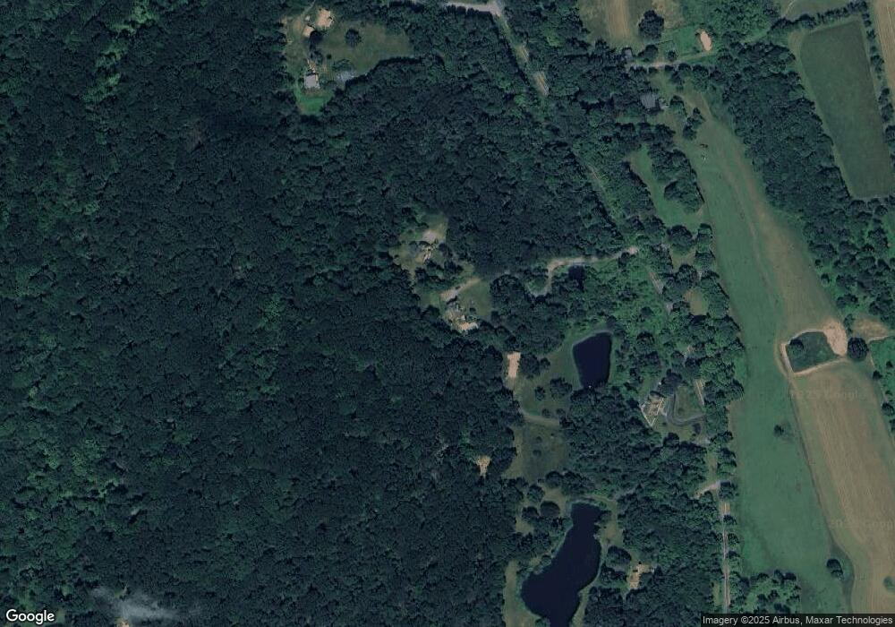
Map
Nearby Homes
- 86 Connecticut 37
- 5 Bridgeworth Ln
- 4 Deer Run Trail
- 8 Ledgewood Dr
- 8 Candleview Dr
- 21 Holiday Point Rd
- 7 Glenview Dr
- 5 Stone Wall Ln
- 43 Meeting House Rd
- 7 Ridge Rd
- 0 Kirby Hill Rd
- 2 Coburn Rd W
- 18 Fox Run
- 6 Brinsmade Ln
- 0 Wagon Wheel Rd Unit 24065102
- 0 Rte 39 South State Route
- 618 Quaker Hill Rd
- 2 Coburn Road W, She Coburn Rd W
- 201 Route 37 S
- 175 Old Quaker Hill Rd
- 74 Route 37 S
- 80 Route 37 S
- 82 Route 37 S
- 78 Route 37 S
- 7 Briggs Hill Rd
- 63 Route 37 S
- 84 Route 37 S
- 5 Briggs Hill Rd
- 18 Wakeman Hill Rd
- 20 Wakeman Hill Rd
- 20 Wakeman
- 53 Route 37 S
- 4 Wakeman Hill Rd
- 32 Wakeman Hill Rd
- 26 Wakeman Hill Rd
- 6 Briggs Hill Rd
- 8 Wakeman Hill Rd
- 14 Wakeman Hill Rd
- 6 Wakeman Hill Rd
- 101 Connecticut 37