Estimated Value: $689,596 - $1,065,000
5
Beds
3
Baths
3,200
Sq Ft
$254/Sq Ft
Est. Value
About This Home
This home is located at 76 Sanctuary Ln, Alton, NH 03810 and is currently estimated at $814,399, approximately $254 per square foot. 76 Sanctuary Ln is a home located in Belknap County with nearby schools including Alton Central School (Elem) and Prospect Mountain High School.
Ownership History
Date
Name
Owned For
Owner Type
Purchase Details
Closed on
Oct 27, 2014
Sold by
Haapanen Richard A and Haapanen Lida R
Bought by
Dreyer Thomas and Dreyer Keren L
Current Estimated Value
Purchase Details
Closed on
Jan 25, 2006
Sold by
Bethel Builders Llc
Bought by
Haapanen Richard A and Haapanen Linda R
Home Financials for this Owner
Home Financials are based on the most recent Mortgage that was taken out on this home.
Original Mortgage
$269,600
Interest Rate
6.34%
Mortgage Type
Purchase Money Mortgage
Create a Home Valuation Report for This Property
The Home Valuation Report is an in-depth analysis detailing your home's value as well as a comparison with similar homes in the area
Home Values in the Area
Average Home Value in this Area
Purchase History
| Date | Buyer | Sale Price | Title Company |
|---|---|---|---|
| Dreyer Thomas | $250,000 | -- | |
| Dreyer Thomas | $250,000 | -- | |
| Haapanen Richard A | $317,200 | -- | |
| Haapanen Richard A | $317,200 | -- |
Source: Public Records
Mortgage History
| Date | Status | Borrower | Loan Amount |
|---|---|---|---|
| Previous Owner | Haapanen Richard A | $269,600 | |
| Closed | Haapanen Richard A | $0 |
Source: Public Records
Tax History Compared to Growth
Tax History
| Year | Tax Paid | Tax Assessment Tax Assessment Total Assessment is a certain percentage of the fair market value that is determined by local assessors to be the total taxable value of land and additions on the property. | Land | Improvement |
|---|---|---|---|---|
| 2024 | $4,691 | $361,400 | $101,100 | $260,300 |
| 2022 | $4,109 | $361,400 | $101,100 | $260,300 |
| 2021 | $4,113 | $361,400 | $101,100 | $260,300 |
| 2020 | $4,343 | $311,300 | $80,800 | $230,500 |
| 2019 | $3,894 | $311,300 | $80,800 | $230,500 |
| 2018 | $4,355 | $311,300 | $80,800 | $230,500 |
| 2017 | $4,003 | $311,300 | $80,800 | $230,500 |
| 2016 | $3,992 | $282,100 | $75,100 | $207,000 |
| 2015 | $3,933 | $275,600 | $68,600 | $207,000 |
| 2014 | $3,720 | $268,600 | $71,000 | $197,600 |
| 2013 | $3,697 | $275,100 | $73,100 | $202,000 |
Source: Public Records
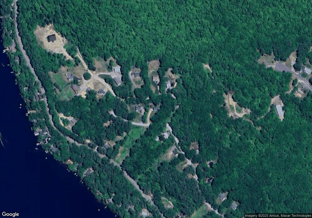
Map
Nearby Homes
- 25 Georges Rd
- 190 Mount Major Hwy
- 115 Mount Major Hwy
- 224 Rand Hill Rd
- 22 Courtyard Cir
- 729 Old Wolfeboro Rd
- 581 E Side Dr
- 728 E Side Dr
- Lot 13 Jaytee Dr
- 18 Mount Major Hwy Unit 6
- 6 Viewland Ct Unit 29
- 0 Bay Hill Rd
- 23 Riverlake St
- 80 Scott Dr
- 90 Jesus Valley Rd
- 74 Jesus Valley Rd
- 00 Marsha
- 204 Route 11-D
- 254 Powder Mill Rd
- 222 Main St