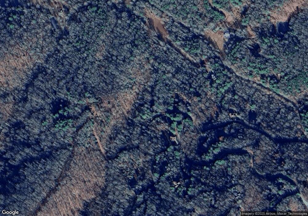
76 Shenandoah Dr Mineral Bluff, GA 30559
Estimated Value: $777,000 - $1,014,000
--
Bed
--
Bath
2,800
Sq Ft
$306/Sq Ft
Est. Value
About This Home
This home is located at 76 Shenandoah Dr, Mineral Bluff, GA 30559 and is currently estimated at $858,013, approximately $306 per square foot. 76 Shenandoah Dr is a home with nearby schools including Fannin County High School.
Ownership History
Date
Name
Owned For
Owner Type
Purchase Details
Closed on
Nov 23, 2020
Sold by
Smith Paul L
Bought by
Smith Paul L and Smith Pamela J
Current Estimated Value
Purchase Details
Closed on
May 22, 2013
Sold by
Smith Paul L & Pamela J Trustees
Bought by
Smith Paul L & Pamela J Trustees
Home Financials for this Owner
Home Financials are based on the most recent Mortgage that was taken out on this home.
Original Mortgage
$279,000
Interest Rate
3.43%
Mortgage Type
VA
Purchase Details
Closed on
Sep 20, 2011
Sold by
Smith Paul L
Bought by
Smith Paul L and Smith Pamela J
Create a Home Valuation Report for This Property
The Home Valuation Report is an in-depth analysis detailing your home's value as well as a comparison with similar homes in the area
Home Values in the Area
Average Home Value in this Area
Purchase History
| Date | Buyer | Sale Price | Title Company |
|---|---|---|---|
| Smith Paul L | -- | -- | |
| Smith Paul L & Pamela J Trustees | -- | -- | |
| Smith Paul L | -- | -- |
Source: Public Records
Mortgage History
| Date | Status | Borrower | Loan Amount |
|---|---|---|---|
| Previous Owner | Smith Paul L & Pamela J Trustees | $279,000 |
Source: Public Records
Tax History Compared to Growth
Tax History
| Year | Tax Paid | Tax Assessment Tax Assessment Total Assessment is a certain percentage of the fair market value that is determined by local assessors to be the total taxable value of land and additions on the property. | Land | Improvement |
|---|---|---|---|---|
| 2024 | $1,052 | $270,544 | $63,000 | $207,544 |
| 2023 | $1,055 | $219,960 | $48,600 | $171,360 |
| 2022 | $1,055 | $210,506 | $37,200 | $173,306 |
| 2021 | $1,453 | $144,202 | $37,200 | $107,002 |
| 2020 | $1,475 | $128,107 | $34,000 | $94,107 |
| 2019 | $1,504 | $128,107 | $34,000 | $94,107 |
| 2018 | $1,595 | $128,107 | $34,000 | $94,107 |
| 2017 | $2,284 | $129,098 | $34,000 | $95,098 |
| 2016 | $1,988 | $119,044 | $34,000 | $85,044 |
| 2015 | $1,603 | $113,572 | $34,000 | $79,572 |
| 2014 | $1,475 | $151,533 | $34,000 | $117,533 |
| 2013 | -- | $124,476 | $34,000 | $90,476 |
Source: Public Records
Map
Nearby Homes
- 220 Mountain High Dr
- 469 Mountain High Dr
- Lot # 33 Mahoosec Trail
- 2 Watson Gap Rd
- 56 Kennebec Dr
- 395 Pontoosuc Dr
- 300 Katahdin Dr
- 1150 Mountain High Dr
- 150 Katahdin Dr
- 89 Box Turtle Ln
- 1359 Mountain High Dr
- Lot 79 Moosilaukee Dr
- Lot 36 Moosilaukee Dr
- 58 Moosilaukee Dr
- 95 Moosilaukee Dr
- 337 Simpson Mountain Rd
- #242 Kittatinny Dr
- 18 Wawayanda Dr
- 22 Shenandoah Dr
- 284 Mountain High Dr
- 2 Mountain High Dr
- 55 Mountain High Dr
- 2 Mountain High Dr
- 55 Mountain High Dr Unit 55
- 238 Mountain High Dr
- 283 Mountain High Dr
- 219 Mountain High Dr
- 121 Pontoosuc Dr Unit ID1252437P
- 121 Pontoosuc Dr
- 203 Mountain High Dr
- 33 Mountain High Sd
- 115 Mountain High Dr
- 79 Mountain High Dr
- LT 81 Mountain High S D
- 45 Mountain High Dr
- 47 Mountain High Dr
- 75 Mountain High Dr
- 59 Mountain High Dr
