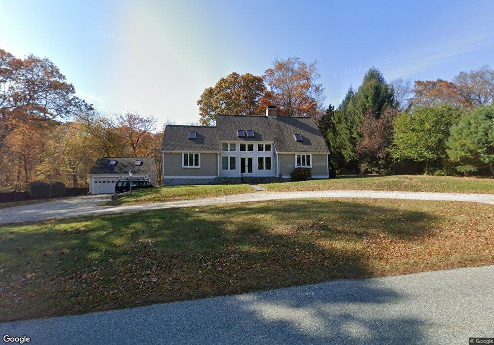
76 Spithead Rd Waterford, CT 06385
Estimated Value: $485,830 - $518,000
3
Beds
2
Baths
1,981
Sq Ft
$250/Sq Ft
Est. Value
About This Home
This home is located at 76 Spithead Rd, Waterford, CT 06385 and is currently estimated at $495,208, approximately $249 per square foot. 76 Spithead Rd is a home located in New London County with nearby schools including Clark Lane Middle School, Waterford High School, and New London High School Multi-Magnet Campus.
Ownership History
Date
Name
Owned For
Owner Type
Purchase Details
Closed on
Nov 7, 2025
Sold by
Defrancesco Lauren
Bought by
Darling Holdings Llc
Current Estimated Value
Home Financials for this Owner
Home Financials are based on the most recent Mortgage that was taken out on this home.
Original Mortgage
$336,000
Outstanding Balance
$335,055
Interest Rate
6.34%
Mortgage Type
Purchase Money Mortgage
Estimated Equity
$160,153
Create a Home Valuation Report for This Property
The Home Valuation Report is an in-depth analysis detailing your home's value as well as a comparison with similar homes in the area
Home Values in the Area
Average Home Value in this Area
Purchase History
| Date | Buyer | Sale Price | Title Company |
|---|---|---|---|
| Darling Holdings Llc | -- | -- |
Source: Public Records
Mortgage History
| Date | Status | Borrower | Loan Amount |
|---|---|---|---|
| Open | Darling Holdings Llc | $336,000 |
Source: Public Records
Tax History
| Year | Tax Paid | Tax Assessment Tax Assessment Total Assessment is a certain percentage of the fair market value that is determined by local assessors to be the total taxable value of land and additions on the property. | Land | Improvement |
|---|---|---|---|---|
| 2025 | $6,092 | $260,800 | $91,420 | $169,380 |
| 2024 | $5,816 | $260,800 | $91,420 | $169,380 |
| 2023 | $5,529 | $260,800 | $91,420 | $169,380 |
| 2022 | $6,145 | $222,970 | $62,270 | $160,700 |
| 2021 | $6,163 | $222,970 | $62,270 | $160,700 |
| 2020 | $6,214 | $222,970 | $62,270 | $160,700 |
| 2019 | $6,239 | $222,970 | $62,270 | $160,700 |
| 2018 | $6,114 | $222,970 | $62,270 | $160,700 |
| 2017 | $5,624 | $208,050 | $64,300 | $143,750 |
| 2016 | $5,572 | $208,050 | $64,300 | $143,750 |
| 2015 | $5,374 | $208,050 | $64,300 | $143,750 |
| 2014 | $5,160 | $208,050 | $64,300 | $143,750 |
Source: Public Records
Map
Nearby Homes
- 310 Boston Post Rd Unit 76
- 3 E Wood St
- 6 Fulmore Dr
- 9 Arrowhead Trail
- 398 & 402 Boston Post Rd
- 398 Boston Post Rd
- 20 North Rd
- 3 Springdale Rd
- 276 Niantic River Rd
- 49 Cross Rd
- 22 Woodlawn Ave
- 52B Millstone Rd W
- 36 Sandy Hollow Dr
- 22 Sandy Hollow Dr
- 213 Boston Post Rd
- 47 Oswegatchie Hills Rd
- 54 Rope Ferry Rd Unit C55
- 54 Rope Ferry Rd Unit I154
- 54 Rope Ferry Rd Unit C45
- 54 Rope Ferry Rd Unit C42
Your Personal Tour Guide
Ask me questions while you tour the home.