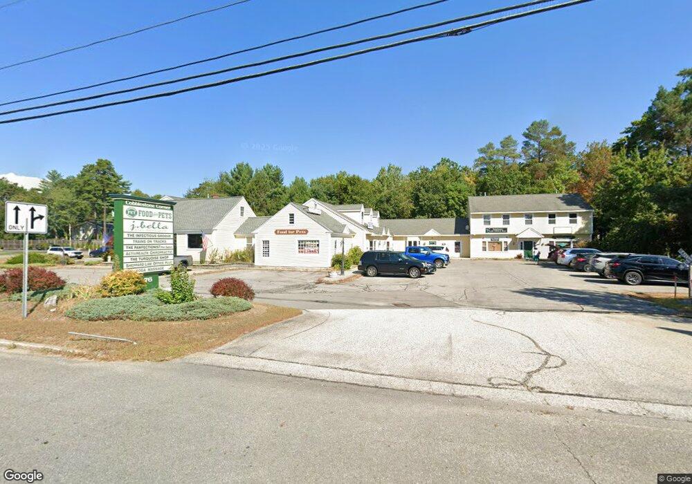
76 State Route 101a Amherst, NH 03031
Estimated Value: $1,937,206
Studio
--
Bath
11,151
Sq Ft
$174/Sq Ft
Est. Value
About This Home
This home is located at 76 State Route 101a, Amherst, NH 03031 and is currently estimated at $1,937,206, approximately $173 per square foot. 76 State Route 101a is a home located in Hillsborough County with nearby schools including Wilkins Elementary School, Amherst Middle School, and Souhegan Cooperative High School.
Ownership History
Date
Name
Owned For
Owner Type
Purchase Details
Closed on
May 1, 2000
Sold by
Moses Robert J
Bought by
Monticello Maintenance
Current Estimated Value
Home Financials for this Owner
Home Financials are based on the most recent Mortgage that was taken out on this home.
Original Mortgage
$500,000
Outstanding Balance
$160,894
Interest Rate
8.23%
Mortgage Type
Commercial
Estimated Equity
$1,776,312
Create a Home Valuation Report for This Property
The Home Valuation Report is an in-depth analysis detailing your home's value as well as a comparison with similar homes in the area
Home Values in the Area
Average Home Value in this Area
Purchase History
| Date | Buyer | Sale Price | Title Company |
|---|---|---|---|
| Monticello Maintenance | $525,000 | -- |
Source: Public Records
Mortgage History
| Date | Status | Borrower | Loan Amount |
|---|---|---|---|
| Open | Monticello Maintenance | $500,000 |
Source: Public Records
Tax History
| Year | Tax Paid | Tax Assessment Tax Assessment Total Assessment is a certain percentage of the fair market value that is determined by local assessors to be the total taxable value of land and additions on the property. | Land | Improvement |
|---|---|---|---|---|
| 2025 | $21,052 | $877,900 | $324,100 | $553,800 |
| 2024 | $20,130 | $877,900 | $324,100 | $553,800 |
| 2023 | $19,208 | $877,900 | $324,100 | $553,800 |
| 2022 | $18,117 | $857,400 | $324,100 | $533,300 |
| 2021 | $18,271 | $857,400 | $324,100 | $533,300 |
| 2020 | $9,398 | $813,800 | $308,700 | $505,100 |
| 2019 | $21,940 | $813,800 | $308,700 | $505,100 |
| 2018 | $21,672 | $795,900 | $308,700 | $487,200 |
| 2017 | $20,701 | $795,900 | $308,700 | $487,200 |
| 2016 | $19,977 | $795,900 | $308,700 | $487,200 |
| 2015 | $20,474 | $773,200 | $315,000 | $458,200 |
| 2014 | $20,614 | $773,200 | $315,000 | $458,200 |
| 2013 | $20,337 | $768,900 | $315,000 | $453,900 |
Source: Public Records
Map
Nearby Homes
- 1 Hickory Dr
- 464 Boston Post Rd Unit 5
- 449 Silver Lake Rd
- 447 Silver Lake Rd Unit A
- 447 Silver Lake Rd Unit B
- 11 Pendleton Farms Ln
- 8 Standish Way Unit 8
- 43 Alsun Dr
- 163 Stable Rd
- 197 Stable Rd
- 101-2 Seaverns Bridge Rd
- 101 Seaverns Bridge Rd
- 103 Seaverns Bridge Rd
- 105 Seaverns Bridge Rd
- 1 County Rd
- 5 Monticello Dr
- 148 County Rd
- 150 County Rd Unit 4-142-8
- 150 County Rd
- 7 Jennifer Ln
- 76 New Hampshire 101a Unit 8
- 1 Airline Dr
- 78 State Route 101a
- 28 Eastern Ave
- 26 Eastern Ave
- 2 Airline Dr
- 24 Eastern Ave
- 31 Eastern Ave
- 33 Eastern Ave
- 29 Eastern Ave
- 72 State Route 101a
- 4 Airline Dr
- 22 Eastern Ave
- 71 Route 101a Unit 13 Route
- 82 Nh 101a
- 82 State Route 101a
- 3 Northern Blvd
- 20 Eastern Ave
- 6 Skyline Dr Unit 6-42
- 6 Skyline Dr Unit 42
Your Personal Tour Guide
Ask me questions while you tour the home.