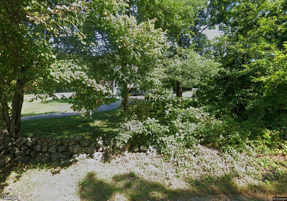
76 Wenham Rd Topsfield, MA 01983
Estimated Value: $1,805,000 - $1,914,000
4
Beds
5
Baths
5,718
Sq Ft
$326/Sq Ft
Est. Value
About This Home
This home is located at 76 Wenham Rd, Topsfield, MA 01983 and is currently estimated at $1,866,429, approximately $326 per square foot. 76 Wenham Rd is a home located in Essex County with nearby schools including Steward Elementary School, Proctor Elementary School, and Masconomet Regional Middle School.
Create a Home Valuation Report for This Property
The Home Valuation Report is an in-depth analysis detailing your home's value as well as a comparison with similar homes in the area
Home Values in the Area
Average Home Value in this Area
Tax History Compared to Growth
Tax History
| Year | Tax Paid | Tax Assessment Tax Assessment Total Assessment is a certain percentage of the fair market value that is determined by local assessors to be the total taxable value of land and additions on the property. | Land | Improvement |
|---|---|---|---|---|
| 2025 | $26,420 | $1,762,500 | $473,800 | $1,288,700 |
| 2024 | $25,571 | $1,740,700 | $452,000 | $1,288,700 |
| 2023 | $22,297 | $1,466,900 | $418,300 | $1,048,600 |
| 2022 | $20,977 | $1,259,900 | $418,300 | $841,600 |
| 2021 | $21,070 | $1,175,800 | $379,100 | $796,700 |
| 2020 | $20,482 | $1,175,800 | $379,100 | $796,700 |
| 2019 | $19,506 | $1,147,400 | $379,100 | $768,300 |
| 2018 | $19,334 | $1,113,700 | $371,100 | $742,600 |
| 2017 | $18,191 | $1,074,500 | $331,900 | $742,600 |
| 2016 | $17,184 | $1,040,200 | $318,800 | $721,400 |
Source: Public Records
Map
Nearby Homes
- 95 Salem Rd
- 219 Topsfield Rd
- 19 Bridle Spur Ln
- 10 Maple St
- 2 Woodbrier Rd
- 47 Maple St
- 117 Perkins Row
- 1 Morgan Dr
- 7 Wildwood Rd
- 14 Alderbrook Dr
- 15 Middlewood Dr Unit 15
- 33 Reservoir Dr
- 92 Pleasant St
- 4 Chatham Ln
- 78 North St
- 115 Pleasant St
- 41 Mohawk St
- 281 Rowley Bridge Rd Unit 7
- 26 Mohawk St
- 5 Main Dr
