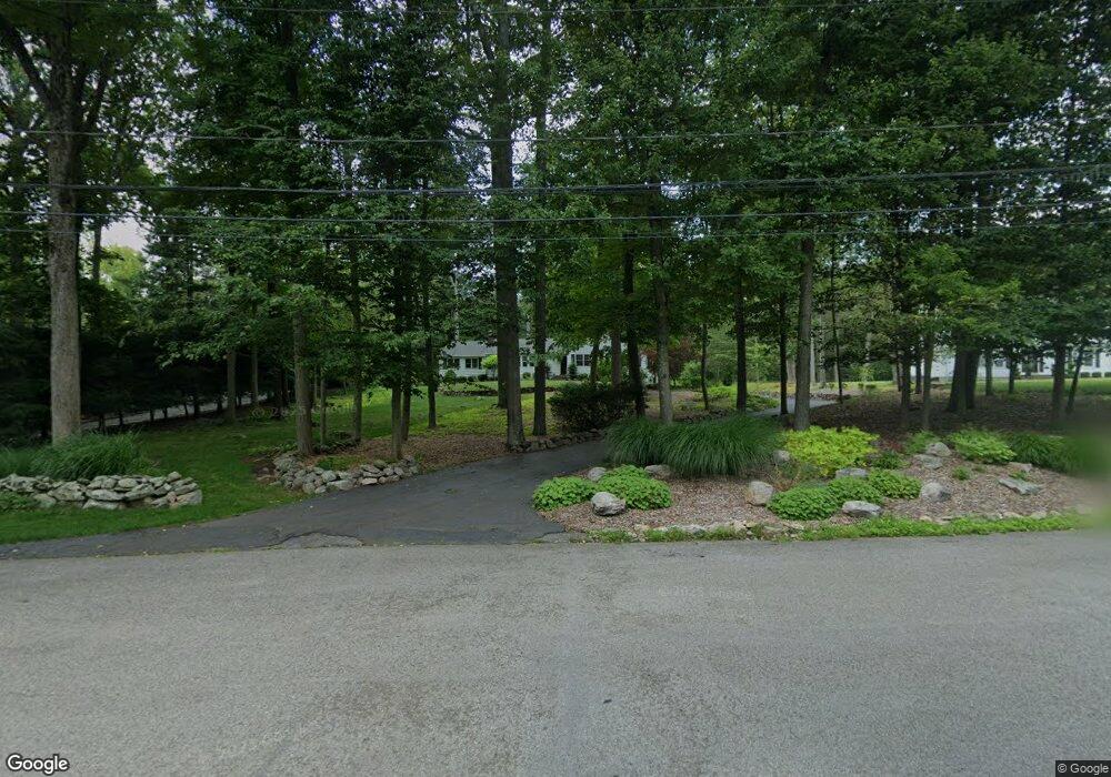
76 Woodbrook Dr Stamford, CT 06907
Turn of the River-Newfield NeighborhoodEstimated Value: $907,000 - $1,061,000
3
Beds
2
Baths
2,280
Sq Ft
$426/Sq Ft
Est. Value
About This Home
This home is located at 76 Woodbrook Dr, Stamford, CT 06907 and is currently estimated at $971,056, approximately $425 per square foot. 76 Woodbrook Dr is a home located in Fairfield County with nearby schools including Davenport Ridge Elementary School, Rippowam Middle School, and Stamford High School.
Ownership History
Date
Name
Owned For
Owner Type
Purchase Details
Closed on
Dec 3, 2010
Sold by
Brown-Grissen Deborah and Brown Marshall Evans
Bought by
Hanson Ervin E
Current Estimated Value
Purchase Details
Closed on
Dec 17, 1996
Sold by
Albert Gerard P and Albert Laura C
Bought by
Schulster Jerome and Schulster Elise A
Home Financials for this Owner
Home Financials are based on the most recent Mortgage that was taken out on this home.
Original Mortgage
$235,000
Interest Rate
7.75%
Mortgage Type
Unknown
Create a Home Valuation Report for This Property
The Home Valuation Report is an in-depth analysis detailing your home's value as well as a comparison with similar homes in the area
Home Values in the Area
Average Home Value in this Area
Purchase History
| Date | Buyer | Sale Price | Title Company |
|---|---|---|---|
| Hanson Ervin E | $1,030,000 | -- | |
| Schulster Jerome | $300,000 | -- |
Source: Public Records
Mortgage History
| Date | Status | Borrower | Loan Amount |
|---|---|---|---|
| Open | Schulster Jerome | $200,000 | |
| Previous Owner | Schulster Jerome | $225,000 | |
| Previous Owner | Schulster Jerome | $235,000 |
Source: Public Records
Tax History Compared to Growth
Tax History
| Year | Tax Paid | Tax Assessment Tax Assessment Total Assessment is a certain percentage of the fair market value that is determined by local assessors to be the total taxable value of land and additions on the property. | Land | Improvement |
|---|---|---|---|---|
| 2025 | $10,888 | $467,880 | $288,860 | $179,020 |
| 2024 | $10,649 | $467,880 | $288,860 | $179,020 |
| 2023 | $11,444 | $467,880 | $288,860 | $179,020 |
| 2022 | $9,828 | $373,270 | $218,040 | $155,230 |
| 2021 | $9,694 | $373,270 | $218,040 | $155,230 |
| 2020 | $9,455 | $373,270 | $218,040 | $155,230 |
| 2019 | $9,455 | $373,270 | $218,040 | $155,230 |
| 2018 | $9,126 | $373,270 | $218,040 | $155,230 |
| 2017 | $9,541 | $372,860 | $226,750 | $146,110 |
| 2016 | $9,254 | $372,860 | $226,750 | $146,110 |
| 2015 | $9,001 | $372,860 | $226,750 | $146,110 |
| 2014 | $8,691 | $372,860 | $226,750 | $146,110 |
Source: Public Records
Map
Nearby Homes
- 119 Wedgemere Rd
- 39 Running Brook Ln
- 1552 Hope St
- 77 Putter Dr
- 113 Skyview Ln
- 357 Jelliff Mill Rd
- 19 Woodway Rd Unit 14
- 185 Interlaken Rd
- 139 Jelliff Mill Rd
- 17 Oenoke Place
- 23 Oenoke Place
- 474 Ponus Ridge
- 358 Hoyt St
- 1157 Hope St
- 100 Spring Water Ln
- 1148 Hope St
- 393 Upper Haig Ave
- 95 Columbus Place Unit 6
- 7 the Reserve at Sterling Ridge
- 83 Mulberry St