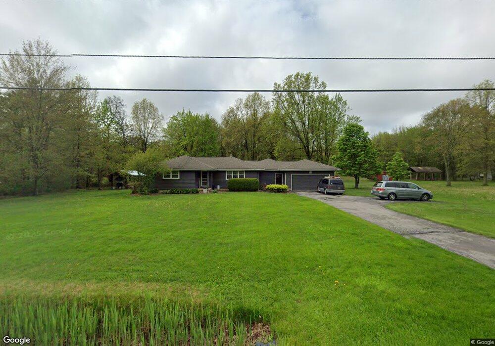
760 Center St E Warren, OH 44481
Estimated Value: $168,000 - $260,000
4
Beds
2
Baths
1,853
Sq Ft
$115/Sq Ft
Est. Value
About This Home
This home is located at 760 Center St E, Warren, OH 44481 and is currently estimated at $212,767, approximately $114 per square foot. 760 Center St E is a home located in Trumbull County with nearby schools including Champion Central Elementary School, Champion Middle School, and Champion High School.
Ownership History
Date
Name
Owned For
Owner Type
Purchase Details
Closed on
May 24, 2012
Sold by
Bacorn James H
Bought by
Pate Jason C and Pate Jamie Lee
Current Estimated Value
Home Financials for this Owner
Home Financials are based on the most recent Mortgage that was taken out on this home.
Original Mortgage
$79,000
Outstanding Balance
$31,913
Interest Rate
3.9%
Mortgage Type
New Conventional
Estimated Equity
$180,854
Purchase Details
Closed on
Mar 25, 2010
Sold by
Bank Of America National Association
Bought by
Pate Jason C and Pate Jamie Lee
Home Financials for this Owner
Home Financials are based on the most recent Mortgage that was taken out on this home.
Original Mortgage
$76,240
Interest Rate
5.5%
Mortgage Type
FHA
Purchase Details
Closed on
Oct 27, 2009
Sold by
Hauserman Larry Clark
Bought by
Bank Of America National Association
Purchase Details
Closed on
Dec 11, 2001
Sold by
Marsh Harold K and Yartz Bettie Lou
Bought by
Hauserman Larry Clark and Lenore C Marsh 1996 Living Trust
Purchase Details
Closed on
Jan 1, 1990
Bought by
Harold K Marsh
Create a Home Valuation Report for This Property
The Home Valuation Report is an in-depth analysis detailing your home's value as well as a comparison with similar homes in the area
Purchase History
| Date | Buyer | Sale Price | Title Company |
|---|---|---|---|
| Pate Jason C | -- | None Available | |
| Pate Jason C | -- | None Available | |
| Pate Jason C | $54,000 | Landcastle Title Llc | |
| Bank Of America National Association | $70,000 | None Available | |
| Hauserman Larry Clark | $134,000 | -- | |
| Harold K Marsh | -- | -- |
Source: Public Records
Mortgage History
| Date | Status | Borrower | Loan Amount |
|---|---|---|---|
| Open | Pate Jason C | $79,000 | |
| Closed | Pate Jason C | $79,000 | |
| Previous Owner | Pate Jason C | $76,240 |
Source: Public Records
Tax History
| Year | Tax Paid | Tax Assessment Tax Assessment Total Assessment is a certain percentage of the fair market value that is determined by local assessors to be the total taxable value of land and additions on the property. | Land | Improvement |
|---|---|---|---|---|
| 2024 | $3,325 | $63,220 | $10,890 | $52,330 |
| 2023 | $3,202 | $63,220 | $10,890 | $52,330 |
| 2022 | $2,612 | $43,370 | $10,120 | $33,250 |
| 2021 | $2,600 | $43,370 | $10,120 | $33,250 |
| 2020 | $2,575 | $43,370 | $10,120 | $33,250 |
| 2019 | $2,523 | $39,620 | $9,380 | $30,240 |
| 2018 | $2,548 | $39,620 | $9,380 | $30,240 |
| 2017 | $2,491 | $39,620 | $9,380 | $30,240 |
| 2016 | $2,560 | $39,380 | $10,570 | $28,810 |
| 2015 | $2,465 | $39,380 | $10,570 | $28,810 |
| 2014 | $2,268 | $39,380 | $10,570 | $28,810 |
| 2013 | $2,325 | $41,230 | $10,570 | $30,660 |
Source: Public Records
Map
Nearby Homes
- 5546 Shaffer Rd NW Unit A & B
- 6050 Shaffer Rd NW
- 6039 N Park Avenue Extension
- 238 Raymond Ave NW
- 182 Raymond Ave NW
- 722 Airport Rd NW
- 5177 Mahoning Ave NW
- 173 Chapel Hill Dr NW
- 140 Fairway Place NW Unit X140
- 0 Durst Dr NW
- 4977 Damon Ave NW
- 513 Eldon Dr NW
- 0 N Park Ave
- 392 Earl Dr NW
- 202 Cleveland Ave E
- 594 Center St W
- 5298 Calla Ave NW
- 0 Mahoning Ave NW Unit 5177043
- 273 Atwood St NW
- 658 Center St W
- 760 Center St E
- 744 Center St E
- 757 Center St E
- 784 Center St E
- 734 Center St E
- 720 Center St E
- 789 Center St E
- 802 Center St E
- 816 Center St E
- 813 Center St E
- 684 Center St E
- 831 Center St E
- 672 Center St E
- 841 Center St E
- 848 Center St E
- 662 Center St E
- 861 Center St E
- 5603 Pierce Rd NW
- 5593 Pierce Rd NW
- 5583 Pierce Rd NW
Your Personal Tour Guide
Ask me questions while you tour the home.