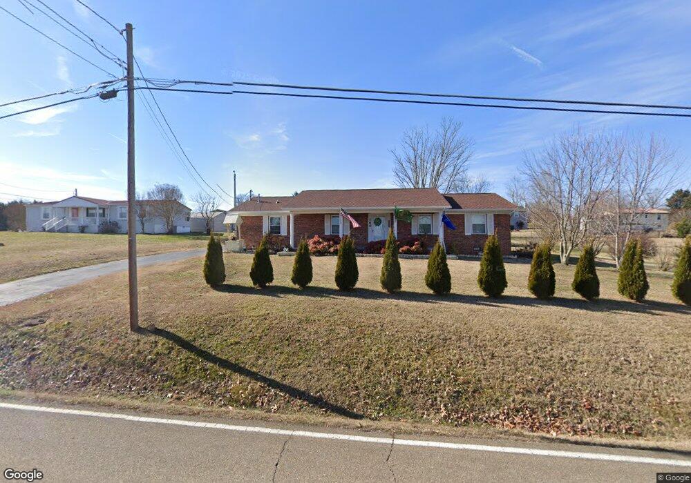
760 Highway 139 Dandridge, TN 37725
Estimated Value: $309,000 - $359,000
3
Beds
2
Baths
1,566
Sq Ft
$210/Sq Ft
Est. Value
About This Home
This home is located at 760 Highway 139, Dandridge, TN 37725 and is currently estimated at $328,326, approximately $209 per square foot. 760 Highway 139 is a home located in Jefferson County with nearby schools including Mountain View Academy For Young Men.
Ownership History
Date
Name
Owned For
Owner Type
Purchase Details
Closed on
Jul 10, 2017
Sold by
Francis Teresa and Henderson Donna
Bought by
Huling James Francis and Huling Gloria Kay
Current Estimated Value
Home Financials for this Owner
Home Financials are based on the most recent Mortgage that was taken out on this home.
Original Mortgage
$125,000
Interest Rate
3.91%
Mortgage Type
VA
Purchase Details
Closed on
Nov 15, 1985
Bought by
Smelcer George W and Smelcer Billie S
Purchase Details
Closed on
Mar 14, 1977
Create a Home Valuation Report for This Property
The Home Valuation Report is an in-depth analysis detailing your home's value as well as a comparison with similar homes in the area
Home Values in the Area
Average Home Value in this Area
Purchase History
| Date | Buyer | Sale Price | Title Company |
|---|---|---|---|
| Huling James Francis | $125,000 | Colonial Title Group | |
| Smelcer George W | -- | -- | |
| -- | -- | -- |
Source: Public Records
Mortgage History
| Date | Status | Borrower | Loan Amount |
|---|---|---|---|
| Open | Huling James Francis | $125,000 |
Source: Public Records
Tax History Compared to Growth
Tax History
| Year | Tax Paid | Tax Assessment Tax Assessment Total Assessment is a certain percentage of the fair market value that is determined by local assessors to be the total taxable value of land and additions on the property. | Land | Improvement |
|---|---|---|---|---|
| 2025 | $768 | $53,675 | $8,000 | $45,675 |
| 2023 | $695 | $30,225 | $0 | $0 |
| 2022 | $662 | $30,225 | $7,000 | $23,225 |
| 2021 | $662 | $30,225 | $7,000 | $23,225 |
| 2020 | $662 | $30,225 | $7,000 | $23,225 |
| 2019 | $662 | $30,225 | $7,000 | $23,225 |
| 2018 | $593 | $25,225 | $5,750 | $19,475 |
| 2017 | $593 | $25,225 | $5,750 | $19,475 |
| 2016 | $593 | $25,225 | $5,750 | $19,475 |
| 2015 | $593 | $25,225 | $5,750 | $19,475 |
| 2014 | $593 | $25,225 | $5,750 | $19,475 |
Source: Public Records
Map
Nearby Homes
- 1614 Sams Dr
- 312 Economy Cir
- 1635 Sams Dr
- 1710 Ferry Hill Rd
- 1045 Southwind Cir
- 1018 Southwind Cir
- 136 Crosslake Ln
- Lots 1&2 Ferry Hill Rd
- 417 Little Cove Dr
- 1806 Pheasant Crossing Dr
- 1920 Mountain Lake Dr
- 1988 Lakebrook Cir
- 1991 Lakebrook Cir
- 1830 Pheasant Crossing Dr
- 1928 Bouldercrest Dr
- 539 Morie Rd
- 626 Briarwood Dr
- 1887 Lakebrook Cir
- 1737 Doc Terry Rd
- 625 Armstrong Dr
- 760 Tennessee 139
- 762 Highway 139
- 1626 Clara Dr
- 1622 Clara Dr
- 754 Highway 139
- 308 Morie Rd
- 1616 Clara Dr
- 752 Tennessee 139
- 752 Highway 139
- 1610 Clara Dr
- 1627 Clara Dr
- 1621 Clara Dr
- 303 Terry Point Rd
- 1617 Clara Dr
- 315 Morie Rd
- 302 Terry Point Rd
- 1609 Clara Dr
- 1606 Clara Dr
- 1620 Rolling Hills Dr
- 1616 Rolling Hills Dr