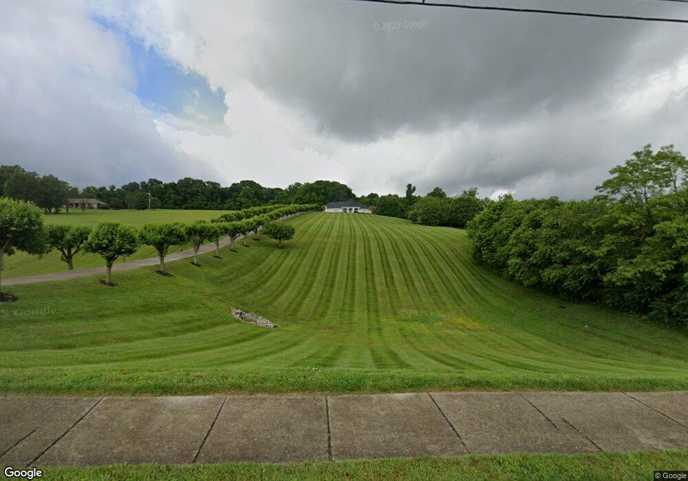
760 Jones Franklin Rd Morristown, TN 37813
Estimated Value: $502,000 - $746,879
--
Bed
4
Baths
4,364
Sq Ft
$143/Sq Ft
Est. Value
About This Home
This home is located at 760 Jones Franklin Rd, Morristown, TN 37813 and is currently estimated at $624,440, approximately $143 per square foot. 760 Jones Franklin Rd is a home located in Hamblen County with nearby schools including Russellville Elementary School, East Ridge Middle School, and Morristown East High School.
Ownership History
Date
Name
Owned For
Owner Type
Purchase Details
Closed on
Sep 12, 2003
Sold by
Brooks Hugh G
Bought by
Wallace Steven K
Current Estimated Value
Purchase Details
Closed on
May 31, 2000
Sold by
Burchfield Danny A
Bought by
Gene Brooks Hugh
Purchase Details
Closed on
Feb 3, 1997
Sold by
Lamb Burl J and Lamb Joyce A
Bought by
Danny Burchfield
Home Financials for this Owner
Home Financials are based on the most recent Mortgage that was taken out on this home.
Original Mortgage
$24,750
Interest Rate
7.7%
Purchase Details
Closed on
May 24, 1994
Bought by
Lamb Burl J and Lamb Joyce A
Purchase Details
Closed on
Feb 2, 1990
Bought by
Franklin Monzella B
Purchase Details
Closed on
Aug 24, 1946
Bought by
Franklin Coy Powell
Create a Home Valuation Report for This Property
The Home Valuation Report is an in-depth analysis detailing your home's value as well as a comparison with similar homes in the area
Home Values in the Area
Average Home Value in this Area
Purchase History
| Date | Buyer | Sale Price | Title Company |
|---|---|---|---|
| Wallace Steven K | $65,000 | -- | |
| Gene Brooks Hugh | $50,000 | -- | |
| Danny Burchfield | $33,000 | -- | |
| Lamb Burl J | $24,800 | -- | |
| Franklin Monzella B | -- | -- | |
| Franklin Coy Powell | -- | -- |
Source: Public Records
Mortgage History
| Date | Status | Borrower | Loan Amount |
|---|---|---|---|
| Previous Owner | Franklin Coy Powell | $24,750 |
Source: Public Records
Tax History Compared to Growth
Tax History
| Year | Tax Paid | Tax Assessment Tax Assessment Total Assessment is a certain percentage of the fair market value that is determined by local assessors to be the total taxable value of land and additions on the property. | Land | Improvement |
|---|---|---|---|---|
| 2024 | $2,507 | $142,450 | $14,125 | $128,325 |
| 2023 | $2,507 | $142,450 | $0 | $0 |
| 2022 | $4,501 | $142,450 | $14,125 | $128,325 |
| 2021 | $4,501 | $142,450 | $14,125 | $128,325 |
| 2020 | $4,495 | $142,450 | $14,125 | $128,325 |
| 2019 | $4,524 | $133,075 | $15,025 | $118,050 |
| 2018 | $3,495 | $110,925 | $15,025 | $95,900 |
| 2017 | $3,439 | $110,925 | $15,025 | $95,900 |
| 2016 | $3,283 | $110,925 | $15,025 | $95,900 |
| 2015 | $3,055 | $110,925 | $15,025 | $95,900 |
| 2014 | -- | $110,925 | $15,025 | $95,900 |
| 2013 | -- | $125,300 | $0 | $0 |
Source: Public Records
Map
Nearby Homes
- 4705 E Hampton Blvd
- 670 Jones Franklin Rd
- 4581 Lockley Ct
- 4458 Brockland Dr
- 4510 Westover Place
- 4270 Brockland Dr
- 1148 George Byrd Rd
- 358 Dover Rd
- 1342 Slop Creek Rd
- 288 Fuller Estate Cir
- 00 Shinbone E Sugar Hollow Rd
- 4907 Barton Springs Dr
- 4271 Stansberry Rd
- 1496 Dover Rd
- 1689 Carroll Rd
- 3661 Halifax Cir
- Tract 3 Shinbone Rd
- Tract 4 Shinbone Rd
- 1976/1986 Shinbone Rd
- Tract 2 Shinbone Rd
- 710 Jones Franklin Rd
- 780 Jones Franklin Rd
- 674 Jones Franklin Rd
- 4565 Brockland Dr
- 4545 Brockland Dr
- 4555 Brockland Dr
- 4535 Brockland Dr
- 4693 E Hampton Blvd
- 4585 Brockland Dr
- 4773 E Hampton Blvd
- 4580 Brockland Dr
- 4687 E Hampton Blvd
- 4687 E Hampton Blvd
- 664 Jones Franklin Rd
- 4550 Brockland Dr
- 4515 Brockland Dr
- 4590 Brockland Dr
- 4560 Brockland Dr
- 4600 Brockland Dr
- 4875 E Hampton Blvd