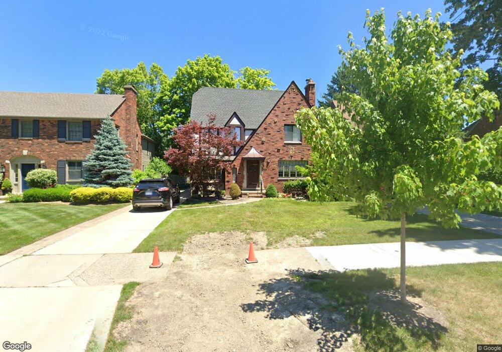
760 Lincoln Rd Grosse Pointe, MI 48230
Estimated Value: $577,000 - $680,000
--
Bed
1
Bath
2,351
Sq Ft
$267/Sq Ft
Est. Value
About This Home
This home is located at 760 Lincoln Rd, Grosse Pointe, MI 48230 and is currently estimated at $627,593, approximately $266 per square foot. 760 Lincoln Rd is a home located in Wayne County with nearby schools including Richard Elementary School, Brownell Middle School, and Grosse Pointe South High School.
Ownership History
Date
Name
Owned For
Owner Type
Purchase Details
Closed on
Aug 18, 2022
Sold by
Rooney Jr William J and Rooney Laura J
Bought by
Rooney William J and Rooney William J
Current Estimated Value
Purchase Details
Closed on
Aug 31, 2007
Sold by
Dusina Keith P and Dusina Carmen P
Bought by
Rooney William James
Create a Home Valuation Report for This Property
The Home Valuation Report is an in-depth analysis detailing your home's value as well as a comparison with similar homes in the area
Home Values in the Area
Average Home Value in this Area
Purchase History
| Date | Buyer | Sale Price | Title Company |
|---|---|---|---|
| Rooney William J | -- | -- | |
| Rooney William James | $335,000 | Greco |
Source: Public Records
Tax History Compared to Growth
Tax History
| Year | Tax Paid | Tax Assessment Tax Assessment Total Assessment is a certain percentage of the fair market value that is determined by local assessors to be the total taxable value of land and additions on the property. | Land | Improvement |
|---|---|---|---|---|
| 2025 | $5,901 | $288,700 | $0 | $0 |
| 2024 | $5,901 | $283,700 | $0 | $0 |
| 2023 | $5,627 | $257,800 | $0 | $0 |
| 2022 | $8,144 | $246,600 | $0 | $0 |
| 2021 | $7,722 | $236,100 | $0 | $0 |
| 2019 | $8,021 | $211,900 | $0 | $0 |
| 2018 | $4,884 | $190,100 | $0 | $0 |
| 2017 | $5,156 | $187,700 | $0 | $0 |
| 2016 | $7,350 | $179,200 | $0 | $0 |
| 2015 | $13,939 | $162,300 | $0 | $0 |
| 2013 | $13,503 | $143,000 | $0 | $0 |
| 2012 | -- | $132,600 | $0 | $0 |
Source: Public Records
Map
Nearby Homes
- 745 Lincoln Rd
- 683 Lincoln Rd
- 827 Fisher Rd
- 240 Mckinley Ave
- 276 Lewiston Rd
- 869 Rivard Blvd
- 876 Washington Rd
- 233 Mcmillan Rd
- 872 University Place
- 352 Mckinley Ave
- 201 Mcmillan Rd
- 818 Neff Rd
- 180 Fisher Rd
- 194 Charlevoix Ave
- 795 Grosse Pointe Ct
- 710 Neff Rd
- 317 Mount Vernon Ave
- 380 Merriweather Rd
- 343 Mount Vernon Ave
- 674 Neff Rd
- 754 Lincoln Rd
- 764 Lincoln Rd
- 750 Lincoln Rd
- 751 Fisher Rd
- 744 Lincoln Rd Unit Bldg-Unit
- 744 Lincoln Rd
- 739 Fisher Rd
- 745 Fisher Rd
- 735 Fisher Rd
- 729 Fisher Rd
- 740 Lincoln Rd
- 780 Lincoln Rd
- 765 Lincoln Rd
- 755 Lincoln Rd
- 725 Fisher Rd
- 719 Fisher Rd
- 771 Lincoln Rd
- 751 Lincoln Rd
- 734 Lincoln Rd
- 786 Lincoln Rd