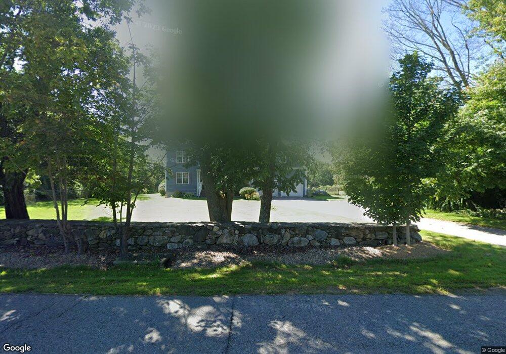
760 Podunk Rd East Brookfield, MA 01515
Estimated Value: $535,000 - $636,000
3
Beds
3
Baths
2,600
Sq Ft
$228/Sq Ft
Est. Value
About This Home
This home is located at 760 Podunk Rd, East Brookfield, MA 01515 and is currently estimated at $591,826, approximately $227 per square foot. 760 Podunk Rd is a home located in Worcester County with nearby schools including David Prouty High School.
Ownership History
Date
Name
Owned For
Owner Type
Purchase Details
Closed on
Jun 26, 2009
Sold by
Kennedy John and Kennedy June L
Bought by
Pattee Grant and Pattee Emily A
Current Estimated Value
Home Financials for this Owner
Home Financials are based on the most recent Mortgage that was taken out on this home.
Original Mortgage
$250,000
Outstanding Balance
$155,123
Interest Rate
4.92%
Mortgage Type
Purchase Money Mortgage
Estimated Equity
$436,703
Purchase Details
Closed on
May 18, 2005
Sold by
Kennedy Timothy and Kennedy Wendy
Bought by
Kennedy John and Kennedy June L
Create a Home Valuation Report for This Property
The Home Valuation Report is an in-depth analysis detailing your home's value as well as a comparison with similar homes in the area
Home Values in the Area
Average Home Value in this Area
Purchase History
| Date | Buyer | Sale Price | Title Company |
|---|---|---|---|
| Pattee Grant | $329,900 | -- | |
| Kennedy John | $142,000 | -- |
Source: Public Records
Mortgage History
| Date | Status | Borrower | Loan Amount |
|---|---|---|---|
| Open | Pattee Grant | $250,000 |
Source: Public Records
Tax History
| Year | Tax Paid | Tax Assessment Tax Assessment Total Assessment is a certain percentage of the fair market value that is determined by local assessors to be the total taxable value of land and additions on the property. | Land | Improvement |
|---|---|---|---|---|
| 2025 | $6,148 | $478,800 | $73,100 | $405,700 |
| 2024 | $5,855 | $458,500 | $66,500 | $392,000 |
| 2023 | $5,754 | $438,900 | $60,400 | $378,500 |
| 2022 | $5,338 | $394,500 | $52,100 | $342,400 |
| 2021 | $5,070 | $341,900 | $52,100 | $289,800 |
| 2020 | $5,202 | $351,000 | $52,100 | $298,900 |
| 2019 | $5,295 | $321,500 | $52,100 | $269,400 |
| 2018 | $4,944 | $319,800 | $52,100 | $267,700 |
| 2017 | $4,819 | $296,000 | $48,100 | $247,900 |
| 2016 | $4,803 | $275,100 | $48,100 | $227,000 |
| 2015 | $4,776 | $275,100 | $48,100 | $227,000 |
| 2014 | $4,792 | $275,100 | $48,100 | $227,000 |
Source: Public Records
Map
Nearby Homes
- 117 Draper Rd
- 145 Draper Rd
- 23 William Casey Rd
- 59 Cranberry Meadow Shore Rd
- 172 Stone Rd
- 32 Jennings Rd
- 53 Fitzgerald Rd
- 35 Nashoba Rd
- 100 Rice Rd
- 0 Hiland Rd
- 1 Lane 22
- 72 Park Rd
- 31 Glen Echo Shore Rd
- 35 Ladd Rd
- 29, 31, 33 Ladd Rd
- 0 City Depot Rd
- 28 Curtis Hill Rd
- 78 S Spencer Rd
- 86 Rice Corner Rd
- 0 Curtis Hill Rd
- Lot 0 Flagg Rd
- 762 Podunk Rd
- 102 High Rocks Rd
- 742 Podunk Rd
- Lot 5 High Rocks Estates
- Lot 13 High Rocks Estates
- 741 Podunk Rd
- 104 High Rocks Rd
- 771 Podunk Rd
- 770 Podunk Rd
- 736 Podunk Rd
- 107 High Rocks Rd
- 117 High Rocks Rd
- 776 Podunk Rd
- 739 Podunk Rd
- 109 High Rocks Rd
- 124 High Rocks Rd
- 729 Podunk Rd
- 720 Podunk Rd
- 103 High Rocks Rd
Your Personal Tour Guide
Ask me questions while you tour the home.