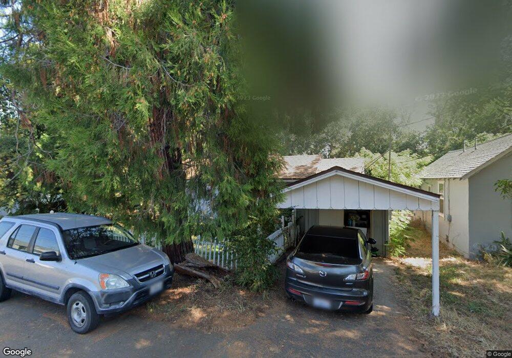
760 Severtson Dr Redding, CA 96001
Parkview NeighborhoodEstimated Value: $181,000 - $238,000
2
Beds
1
Bath
760
Sq Ft
$270/Sq Ft
Est. Value
About This Home
This home is located at 760 Severtson Dr, Redding, CA 96001 and is currently estimated at $205,201, approximately $270 per square foot. 760 Severtson Dr is a home located in Shasta County with nearby schools including Juniper, Sequoia Middle School, and Shasta High School.
Ownership History
Date
Name
Owned For
Owner Type
Purchase Details
Closed on
May 26, 2011
Sold by
Anderson Melissa A
Bought by
Anderson Melissa Ann
Current Estimated Value
Purchase Details
Closed on
Aug 9, 2007
Sold by
Anderson Raymond G
Bought by
Anderson Melissa A
Home Financials for this Owner
Home Financials are based on the most recent Mortgage that was taken out on this home.
Original Mortgage
$109,000
Outstanding Balance
$68,978
Interest Rate
6.65%
Mortgage Type
New Conventional
Estimated Equity
$136,223
Purchase Details
Closed on
Oct 21, 2004
Sold by
Anderson Melissa A
Bought by
Anderson Raymond G and Anderson Melissa A
Purchase Details
Closed on
Aug 9, 2004
Sold by
Hammond Robert W and Hammond Deborah G
Bought by
Anderson Melissa A
Home Financials for this Owner
Home Financials are based on the most recent Mortgage that was taken out on this home.
Original Mortgage
$106,400
Interest Rate
5.37%
Mortgage Type
Stand Alone First
Purchase Details
Closed on
Aug 6, 2004
Sold by
Anderson Raymond
Bought by
Anderson Melissa A
Home Financials for this Owner
Home Financials are based on the most recent Mortgage that was taken out on this home.
Original Mortgage
$106,400
Interest Rate
5.37%
Mortgage Type
Stand Alone First
Purchase Details
Closed on
Mar 15, 2004
Sold by
Wilson John P and Wilson Linda S
Bought by
Hammond Robert W and Hammond Deborah G
Home Financials for this Owner
Home Financials are based on the most recent Mortgage that was taken out on this home.
Original Mortgage
$75,708
Interest Rate
5.69%
Mortgage Type
Seller Take Back
Purchase Details
Closed on
Apr 1, 2003
Sold by
Johnson Homer A and Johnson Kathleen M
Bought by
Wilson John P and Wilson Linda S
Purchase Details
Closed on
Mar 23, 2000
Sold by
Bunselmeier Erma J
Bought by
Johnson Homer A and Johnson Kathleen M
Home Financials for this Owner
Home Financials are based on the most recent Mortgage that was taken out on this home.
Original Mortgage
$55,000
Interest Rate
8.34%
Mortgage Type
Seller Take Back
Create a Home Valuation Report for This Property
The Home Valuation Report is an in-depth analysis detailing your home's value as well as a comparison with similar homes in the area
Home Values in the Area
Average Home Value in this Area
Purchase History
| Date | Buyer | Sale Price | Title Company |
|---|---|---|---|
| Anderson Melissa Ann | -- | None Available | |
| Anderson Melissa A | -- | Alliance Title Company | |
| Anderson Raymond G | -- | Alliance Title Company | |
| Anderson Melissa A | $133,000 | Alliance Title Company | |
| Anderson Melissa A | -- | Alliance Title Company | |
| Hammond Robert W | -- | Alliance Title Company | |
| Wilson John P | $6,000 | Alliance Title Company | |
| Johnson Homer A | $55,000 | Chicago Title Co |
Source: Public Records
Mortgage History
| Date | Status | Borrower | Loan Amount |
|---|---|---|---|
| Open | Anderson Melissa A | $109,000 | |
| Closed | Anderson Melissa A | $106,400 | |
| Previous Owner | Hammond Robert W | $75,708 | |
| Previous Owner | Johnson Homer A | $55,000 |
Source: Public Records
Tax History
| Year | Tax Paid | Tax Assessment Tax Assessment Total Assessment is a certain percentage of the fair market value that is determined by local assessors to be the total taxable value of land and additions on the property. | Land | Improvement |
|---|---|---|---|---|
| 2025 | $1,936 | $185,372 | $41,806 | $143,566 |
| 2024 | $1,906 | $181,738 | $40,987 | $140,751 |
| 2023 | $1,906 | $178,176 | $40,184 | $137,992 |
| 2022 | $1,874 | $174,684 | $39,397 | $135,287 |
| 2021 | $1,638 | $150,000 | $45,000 | $105,000 |
| 2020 | $1,512 | $135,000 | $40,000 | $95,000 |
| 2019 | $1,199 | $110,000 | $35,000 | $75,000 |
| 2018 | $1,179 | $105,000 | $32,000 | $73,000 |
| 2017 | $1,140 | $100,000 | $30,000 | $70,000 |
| 2016 | $939 | $83,000 | $30,000 | $53,000 |
| 2015 | $908 | $80,000 | $30,000 | $50,000 |
| 2014 | $853 | $74,000 | $30,000 | $44,000 |
Source: Public Records
Map
Nearby Homes
- 864 Kite Ln
- 745 Parkview Ave
- 1012 State St
- 351 Weldon St
- 2514 California St
- 3244 Veda St
- 2405 Cliff Dr
- 2590 Henderson Rd
- 815 Locust St
- 3443 West St
- 2239 Garden Ave
- 2123 Waldon St
- 2630 Wyndham Ln
- 2845 River Mist Walk
- 2857 River Mist Walk
- 2865 River Mist Walk
- 1005 Gold St
- 350 Park Marina Cir
- 2056 Canal Dr
- 649 Lowe St
- 750 Severtson Dr
- 2829 Leland Ave
- 2803 Leland Ave
- 745 Severtson Dr
- 765 Severtson Dr
- 740 Severtson Dr
- 2841 Leland Ave
- 2860 Leland Ave
- 735 Severtson Dr
- 2801 Leland Ave
- 2805 Leland Ave
- 2850 Leland Ave
- 2868 Leland Ave
- 803 Fell St
- 804 Kite Ln Unit Lot 16
- 2747 Leland Ave
- 715 Severtson Dr
- 806 Fell St Thru 812 4
- 710 Severtson Dr
- 832 Junior St 9
Your Personal Tour Guide
Ask me questions while you tour the home.