760 Sherrill Dr Cookeville, TN 38501
Estimated Value: $349,952 - $468,000
--
Bed
2
Baths
2,366
Sq Ft
$180/Sq Ft
Est. Value
About This Home
This home is located at 760 Sherrill Dr, Cookeville, TN 38501 and is currently estimated at $425,738, approximately $179 per square foot. 760 Sherrill Dr is a home located in Putnam County with nearby schools including Cane Creek Elementary School, Upperman Middle School, and Upperman High School.
Ownership History
Date
Name
Owned For
Owner Type
Purchase Details
Closed on
Oct 7, 2002
Sold by
Sheldon Maynard
Bought by
Armes Richard A
Current Estimated Value
Purchase Details
Closed on
Jan 24, 2001
Sold by
Sheldon Maynard
Bought by
Say David L and Say Margaret
Purchase Details
Closed on
Feb 8, 2000
Bought by
Maynard Sheldon and Maynard Jacqueline
Purchase Details
Closed on
Jul 2, 1981
Bought by
Chaffin Kenneth and Chaffin Jessie M
Create a Home Valuation Report for This Property
The Home Valuation Report is an in-depth analysis detailing your home's value as well as a comparison with similar homes in the area
Home Values in the Area
Average Home Value in this Area
Purchase History
| Date | Buyer | Sale Price | Title Company |
|---|---|---|---|
| Armes Richard A | $151,500 | -- | |
| Say David L | $155,000 | -- | |
| Maynard Sheldon | $14,000 | -- | |
| Chaffin Kenneth | -- | -- |
Source: Public Records
Tax History Compared to Growth
Tax History
| Year | Tax Paid | Tax Assessment Tax Assessment Total Assessment is a certain percentage of the fair market value that is determined by local assessors to be the total taxable value of land and additions on the property. | Land | Improvement |
|---|---|---|---|---|
| 2024 | $2,537 | $70,875 | $8,400 | $62,475 |
| 2023 | $2,537 | $70,875 | $8,400 | $62,475 |
| 2022 | $2,333 | $70,875 | $8,400 | $62,475 |
| 2021 | $2,333 | $70,875 | $8,400 | $62,475 |
| 2020 | $2,198 | $70,875 | $8,400 | $62,475 |
| 2019 | $2,198 | $56,125 | $8,400 | $47,725 |
| 2018 | $2,003 | $56,125 | $8,400 | $47,725 |
| 2017 | $2,003 | $56,125 | $8,400 | $47,725 |
| 2016 | $2,003 | $56,125 | $8,400 | $47,725 |
| 2015 | $2,079 | $56,125 | $8,400 | $47,725 |
| 2014 | $2,006 | $54,152 | $0 | $0 |
Source: Public Records
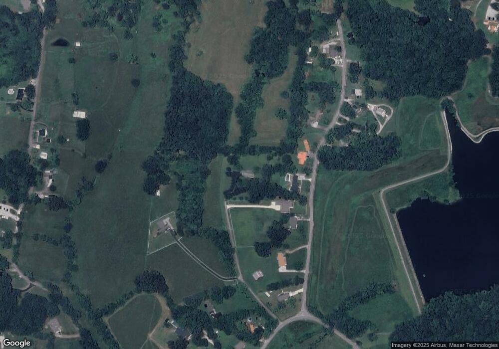
Map
Nearby Homes
- 2.52 ac W Broad St
- 1440 Apple Valley Ct
- 915 Buffalo Valley Rd
- 1330 Kensington Cir
- Lot 3 Miller
- 1322 Kensington Cir
- 2.52 St
- 2911 Grand Ridge Dr
- 359 C Camp Rd
- 0 Corner of W Broad St & Tn Ave Unit RTC2794105
- 1957 W Broad St
- 279 Willow Brook Dr
- 1408 Oak Grove Dr
- 798 Buffalo Valley Rd
- 1405 Brook Hill Dr
- 270 Locust Grove Rd
- 2136 W Broad St
- 2011 Wildwood Ct
- 715 W Oak Dr
- 339 Ridgedale Dr
- 329 Ridgedale Dr
- 349 Ridgedale Dr
- 359 Ridgedale Dr
- 825 Sherrill Dr
- 317 Ridgedale Dr
- 322 Ridgedale Dr
- 369 Ridgedale Dr
- 310 Ridgedale Dr
- 877 Sherrill Dr
- 300 Ridgedale Dr
- 2037 Buffalo Valley Rd
- 312 Ridgedale Dr
- 279 Ridgedale Dr
- 280 Ridgedale Dr
- 2065 Buffalo Valley Rd
- 2045 Buffalo Valley Rd
- 240 Ridgedale Dr
- 2089 Buffalo Valley Rd
- 990 Oak Hill Dr