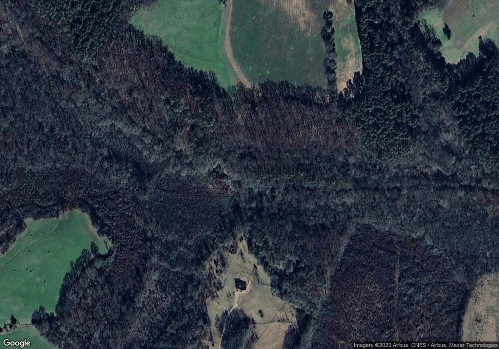
760 Varner Rd Carnesville, GA 30521
Estimated Value: $240,000 - $291,000
2
Beds
2
Baths
2,192
Sq Ft
$122/Sq Ft
Est. Value
About This Home
This home is located at 760 Varner Rd, Carnesville, GA 30521 and is currently estimated at $266,506, approximately $121 per square foot. 760 Varner Rd is a home located in Franklin County with nearby schools including Franklin County High School.
Ownership History
Date
Name
Owned For
Owner Type
Purchase Details
Closed on
Apr 2, 2007
Sold by
Varner Douglas Neal
Bought by
Varner Brandon T
Current Estimated Value
Purchase Details
Closed on
May 5, 1992
Bought by
Varner Douglas Neal
Create a Home Valuation Report for This Property
The Home Valuation Report is an in-depth analysis detailing your home's value as well as a comparison with similar homes in the area
Purchase History
| Date | Buyer | Sale Price | Title Company |
|---|---|---|---|
| Varner Brandon T | -- | -- | |
| Varner Melanie | -- | -- | |
| Varner Douglas Neal | $12,000 | -- |
Source: Public Records
Tax History
| Year | Tax Paid | Tax Assessment Tax Assessment Total Assessment is a certain percentage of the fair market value that is determined by local assessors to be the total taxable value of land and additions on the property. | Land | Improvement |
|---|---|---|---|---|
| 2025 | $1,865 | $100,698 | $48,979 | $51,719 |
| 2024 | $1,314 | $75,196 | $27,735 | $47,461 |
| 2023 | $1,292 | $70,063 | $26,917 | $43,146 |
| 2022 | $1,075 | $61,682 | $22,484 | $39,198 |
| 2021 | $1,040 | $56,157 | $22,484 | $33,673 |
| 2020 | $1,046 | $56,157 | $22,484 | $33,673 |
| 2019 | $1,008 | $56,157 | $22,484 | $33,673 |
| 2018 | $886 | $47,563 | $18,269 | $29,294 |
| 2017 | $917 | $47,563 | $18,269 | $29,294 |
| 2016 | $934 | $46,889 | $18,269 | $28,620 |
| 2015 | -- | $46,889 | $18,269 | $28,620 |
| 2014 | -- | $46,889 | $18,269 | $28,620 |
| 2013 | -- | $47,419 | $18,269 | $29,150 |
Source: Public Records
Map
Nearby Homes
- 0 Varner Rd
- 2100 Westbrook Rd
- 24302 Georgia 59
- 3171 Bold Springs Rd
- 161 Meadow Lake Dr
- 139 Meadow Lake Dr
- 193 Wrights Mill Ln
- 731 Borders Rd
- 1020 Riverbend Rd
- LOT 23 & 24 Tomlin Way
- HWY 51 Owl Hollow Rd
- 433 Neal Rd
- 2090 Southern Seed Way
- 0 Sandy Cross Rd Unit 10657604
- 0 Old Federal Rd Unit 6931372
- 8750 Sandy Cross Rd
- 0 Highway 59 Unit 10257590
- 0 Highway 59 Unit 10257605
- 2125 Westbrook Rd
- 823 Highway 63
- 1027 Bold Springs Church Rd
- 830 Varner Rd
- 291 Bold Springs Church Rd
- 920 Bold Springs Church Rd
- 40 Varner Rd
- 4752 Bold Springs Rd
- 295 Bridges Rd
- 889 Varner Rd
- 4605 Bold Springs Rd
- Lot 18 Morgan Ct
- Lot 20 Morgan Ct
- 0 Varner Rd Unit 10041090
- 0 Varner Rd Unit 9016909
- Lot 15 Morgan Place
- 1484 Bold Springs Church Rd
- 4474 Bold Springs Rd
- 4525 Bold Springs Rd
- 00 Varner Rd
- 4477 Bold Springs Rd
- 111 Morgan Ln
